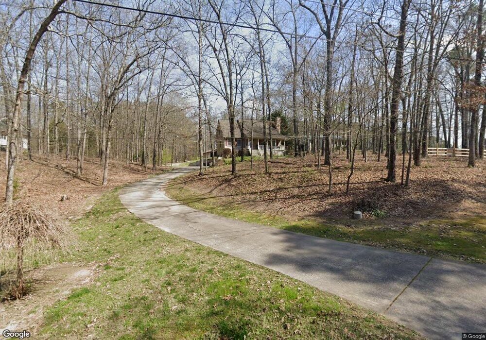
72 Kassi Ln Rockmart, GA 30153
Estimated Value: $287,000 - $394,000
3
Beds
3
Baths
1,724
Sq Ft
$191/Sq Ft
Est. Value
About This Home
This home is located at 72 Kassi Ln, Rockmart, GA 30153 and is currently estimated at $330,075, approximately $191 per square foot. 72 Kassi Ln is a home located in Polk County with nearby schools including Rockmart Middle School.
Ownership History
Date
Name
Owned For
Owner Type
Purchase Details
Closed on
May 15, 2018
Sold by
Redmond Walter L
Bought by
Coffin Charles L
Current Estimated Value
Home Financials for this Owner
Home Financials are based on the most recent Mortgage that was taken out on this home.
Original Mortgage
$168,000
Outstanding Balance
$96,793
Interest Rate
4.4%
Mortgage Type
New Conventional
Estimated Equity
$233,282
Purchase Details
Closed on
Jul 7, 1995
Sold by
Whitfield Webb L and Whitfield Mary E
Bought by
Redmond Walter L and Redmond Amy B
Purchase Details
Closed on
Jul 15, 1994
Sold by
Massey Charles T and Massey Eugene D
Bought by
Whitfield Webb L and Whitfield Mary E
Purchase Details
Closed on
Mar 13, 1964
Sold by
Brown E C
Bought by
Massey Charles T
Create a Home Valuation Report for This Property
The Home Valuation Report is an in-depth analysis detailing your home's value as well as a comparison with similar homes in the area
Home Values in the Area
Average Home Value in this Area
Purchase History
| Date | Buyer | Sale Price | Title Company |
|---|---|---|---|
| Coffin Charles L | $210,000 | -- | |
| Redmond Walter L | $8,500 | -- | |
| Whitfield Webb L | $7,500 | -- | |
| Massey Charles T | -- | -- |
Source: Public Records
Mortgage History
| Date | Status | Borrower | Loan Amount |
|---|---|---|---|
| Open | Coffin Charles L | $168,000 |
Source: Public Records
Tax History
| Year | Tax Paid | Tax Assessment Tax Assessment Total Assessment is a certain percentage of the fair market value that is determined by local assessors to be the total taxable value of land and additions on the property. | Land | Improvement |
|---|---|---|---|---|
| 2025 | $2,442 | $128,612 | $3,232 | $125,380 |
| 2024 | $2,268 | $110,520 | $3,030 | $107,490 |
| 2023 | $1,761 | $76,184 | $3,030 | $73,154 |
| 2022 | $1,535 | $66,662 | $2,020 | $64,642 |
| 2021 | $1,554 | $66,662 | $2,020 | $64,642 |
| 2020 | $1,513 | $64,806 | $2,020 | $62,786 |
| 2019 | $1,285 | $49,850 | $2,020 | $47,830 |
| 2018 | $1,291 | $48,864 | $2,020 | $46,844 |
| 2017 | $1,275 | $48,864 | $2,020 | $46,844 |
| 2016 | $1,243 | $47,661 | $2,857 | $44,804 |
| 2015 | $1,258 | $48,103 | $2,857 | $45,246 |
| 2014 | $1,268 | $48,103 | $2,857 | $45,246 |
Source: Public Records
Map
Nearby Homes
- 214 Horseshoe Cir
- 60 Lee St
- 865 Morgan Valley Rd
- 479 Morgan Valley Rd
- 92 Autumn Path
- 0 Pine Mountain St Unit 10620510
- 0 Pine Mountain St Unit 10620492
- 184 Morgan Ln
- 1714 Cedartown Hwy
- 1 Pine Mountain Rd
- 135 2nd St
- 831 Government Farm Rd
- 601 Calloway Dr
- 740 Calloway Dr
- 816 Government Farm Rd
- 702 Calloway Dr
- 202 Gordon St
- 713 Church St
- 65 Wheeler Rd
- 271 Mccowan Cir
Your Personal Tour Guide
Ask me questions while you tour the home.