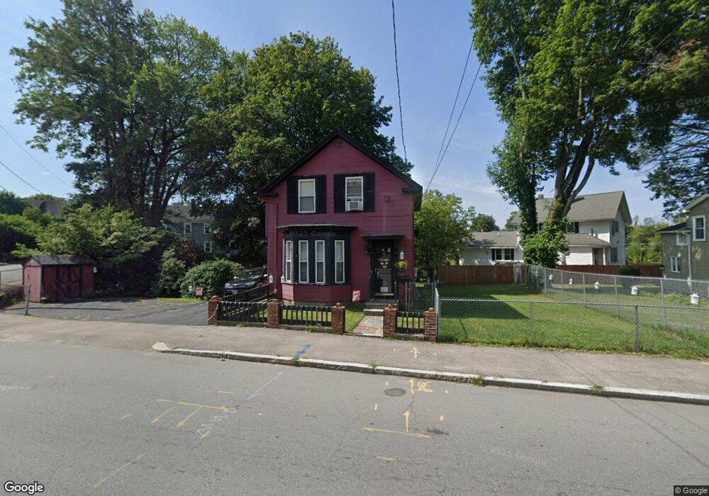
72 Lawrence St Methuen, MA 01844
Arlington NeighborhoodEstimated Value: $483,000 - $520,000
3
Beds
2
Baths
1,270
Sq Ft
$394/Sq Ft
Est. Value
About This Home
This home is located at 72 Lawrence St, Methuen, MA 01844 and is currently estimated at $500,309, approximately $393 per square foot. 72 Lawrence St is a home located in Essex County with nearby schools including Mendota Elementary School, Tenney Grammar School, and South Point Elementary School.
Ownership History
Date
Name
Owned For
Owner Type
Purchase Details
Closed on
Apr 16, 2021
Sold by
Porfido Debra M
Bought by
Porfido Debra
Current Estimated Value
Purchase Details
Closed on
Mar 26, 2021
Sold by
Porfido Debra and Kelly John
Bought by
Porfido Debra M
Create a Home Valuation Report for This Property
The Home Valuation Report is an in-depth analysis detailing your home's value as well as a comparison with similar homes in the area
Home Values in the Area
Average Home Value in this Area
Purchase History
| Date | Buyer | Sale Price | Title Company |
|---|---|---|---|
| Porfido Debra | -- | None Available | |
| Porfido Debra | -- | None Available | |
| Porfido Debra | -- | None Available | |
| Porfido Debra M | -- | None Available | |
| Porfido Debra M | -- | None Available | |
| Porfido Debra M | -- | None Available |
Source: Public Records
Tax History Compared to Growth
Tax History
| Year | Tax Paid | Tax Assessment Tax Assessment Total Assessment is a certain percentage of the fair market value that is determined by local assessors to be the total taxable value of land and additions on the property. | Land | Improvement |
|---|---|---|---|---|
| 2025 | $4,375 | $413,500 | $202,200 | $211,300 |
| 2024 | $4,264 | $392,600 | $181,300 | $211,300 |
| 2023 | $4,021 | $343,700 | $160,400 | $183,300 |
| 2022 | $3,753 | $287,600 | $125,500 | $162,100 |
| 2021 | $3,493 | $264,800 | $115,500 | $149,300 |
| 2020 | $3,383 | $251,700 | $108,700 | $143,000 |
| 2019 | $3,197 | $225,300 | $101,900 | $123,400 |
| 2018 | $3,129 | $219,300 | $101,900 | $117,400 |
| 2017 | $2,927 | $199,800 | $95,100 | $104,700 |
| 2016 | $2,858 | $193,000 | $88,300 | $104,700 |
| 2015 | $2,491 | $170,600 | $73,400 | $97,200 |
Source: Public Records
Map
Nearby Homes
- 100-102 Phillips St
- 35 Hardy St
- 2 Horne St
- 18 Larchwood Rd
- 48 Larchwood Rd
- 69 Broadway
- 82 Oakside Ave
- 2 Lawrence St
- 87 Oakside Ave
- 364 Lawrence St
- 83 Oakside Ave
- 23 Chase St
- 24 Railroad St
- 5 Arlington Terrace
- 20-22 Ashland Ave
- 434-438 Hampshire St
- 47 Lowell St
- 26 Gage St
- 83 Arnold St
- 183 Berkeley St
- 91 Brown St
- 76 Lawrence St
- 208-210 Phillips St
- 208 Phillips St Unit 210
- 85 Brown St
- 68 Lawrence St
- 95 Brown St
- 135 Lawrence St
- 139 Lawrence St
- 131 Lawrence St
- 131 Lawrence St Unit 131
- 127 Lawrence St
- 83 Brown St
- 66 Lawrence St
- 96 Brown St
- 84 Lawrence St
- 90 Brown St
- 88 Brown St
- 94 Brown St Unit 96
- 94-96 Brown St