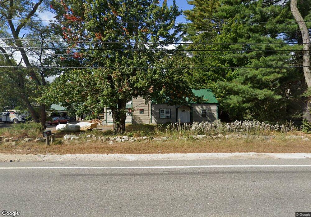
72 Lewiston Rd New Gloucester, ME 04260
Estimated Value: $338,048 - $572,000
4
Beds
4
Baths
2,400
Sq Ft
$184/Sq Ft
Est. Value
About This Home
This home is located at 72 Lewiston Rd, New Gloucester, ME 04260 and is currently estimated at $441,012, approximately $183 per square foot. 72 Lewiston Rd is a home located in Cumberland County with nearby schools including Gray-New Gloucester High School and Fiddlehead School of Arts & Science.
Ownership History
Date
Name
Owned For
Owner Type
Purchase Details
Closed on
Aug 3, 2022
Sold by
Thompson Barbra J
Bought by
Thompson Brian A
Current Estimated Value
Home Financials for this Owner
Home Financials are based on the most recent Mortgage that was taken out on this home.
Original Mortgage
$171,000
Outstanding Balance
$163,443
Interest Rate
5.81%
Mortgage Type
Purchase Money Mortgage
Estimated Equity
$277,569
Purchase Details
Closed on
Sep 1, 2015
Sold by
Thompson Alan G and Thompson Janet A
Bought by
Thompson Brian A and Thompson Barbra J
Home Financials for this Owner
Home Financials are based on the most recent Mortgage that was taken out on this home.
Original Mortgage
$130,400
Interest Rate
4.09%
Mortgage Type
Unknown
Create a Home Valuation Report for This Property
The Home Valuation Report is an in-depth analysis detailing your home's value as well as a comparison with similar homes in the area
Home Values in the Area
Average Home Value in this Area
Purchase History
| Date | Buyer | Sale Price | Title Company |
|---|---|---|---|
| Thompson Brian A | -- | None Available | |
| Thompson Brian A | -- | -- |
Source: Public Records
Mortgage History
| Date | Status | Borrower | Loan Amount |
|---|---|---|---|
| Open | Thompson Brian A | $171,000 | |
| Previous Owner | Thompson Brian A | $130,400 |
Source: Public Records
Tax History Compared to Growth
Tax History
| Year | Tax Paid | Tax Assessment Tax Assessment Total Assessment is a certain percentage of the fair market value that is determined by local assessors to be the total taxable value of land and additions on the property. | Land | Improvement |
|---|---|---|---|---|
| 2025 | $2,910 | $188,114 | $64,850 | $123,264 |
| 2024 | $2,801 | $188,114 | $64,850 | $123,264 |
| 2023 | $2,688 | $188,114 | $64,850 | $123,264 |
| 2022 | $2,596 | $188,114 | $64,850 | $123,264 |
| 2021 | $2,596 | $188,114 | $64,850 | $123,264 |
| 2020 | $2,568 | $188,114 | $64,850 | $123,264 |
| 2019 | $2,723 | $161,100 | $58,600 | $102,500 |
| 2018 | $2,229 | $161,100 | $58,600 | $102,500 |
| 2017 | $2,513 | $161,100 | $58,600 | $102,500 |
| 2016 | $2,368 | $161,100 | $58,600 | $102,500 |
| 2015 | $2,360 | $161,100 | $58,600 | $102,500 |
| 2014 | $2,336 | $161,100 | $58,600 | $102,500 |
| 2013 | $2,167 | $161,100 | $58,600 | $102,500 |
Source: Public Records
Map
Nearby Homes
- 0 Mayall
- TBD Targett Rd
- 155 & 151 Gloucester Hill Rd
- 0018-C Gloucester Hill Rd
- 22 Shaw Rd
- 271 Bennett Rd
- 160 Gloucester Hill Rd
- 343 Shaker Rd
- 27 Callaway Dr Unit 27B
- 17 Callaway Dr Unit 17
- 136 Shaker Rd
- 1 Colley Hill Rd
- 22 Gray Park
- 127 Shaker Rd Unit 61
- 2 Dr
- 4 Chelsey Ln
- 10 Cobbs Bridge Rd
- 25 Main St
- 24 Swamp Rd
- 14 Woodcock Dr
- TBD Lewiston Rd Unit LOT B
- TBD Lewiston Rd
- 74 Lewiston Rd
- 9 Mccarthy Rd
- 9 Mccarthy Rd Unit 3
- 0 Morse Rd Lot #2
- 0 Morse Rd Lot #3
- 54 Lewiston Rd
- 73 Lewiston Rd
- 11 Mccarthy Rd
- 3 Morse Rd
- 11 Mccarthy Rd
- 14 Morse Rd
- 85 Lewiston Rd
- 20 Morse Rd
- 91 Lewiston Rd
- 98 Lewiston Rd
- 97 Lewiston Rd
- 12 Clearbrook Trail
- 0 Fish Hatchery Rd