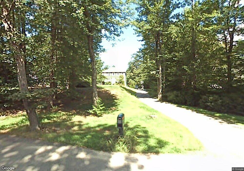
72 Linden St Douglas, MA 01516
Estimated Value: $543,000 - $606,000
3
Beds
3
Baths
1,608
Sq Ft
$354/Sq Ft
Est. Value
About This Home
This home is located at 72 Linden St, Douglas, MA 01516 and is currently estimated at $568,967, approximately $353 per square foot. 72 Linden St is a home located in Worcester County with nearby schools including Douglas Primary School, Douglas Middle School, and Douglas High School.
Ownership History
Date
Name
Owned For
Owner Type
Purchase Details
Closed on
Nov 19, 2004
Sold by
Bourgeois Derek S and Bourgeois Kelly A
Bought by
Courtemanche Christina M and Courtemanche Derek
Current Estimated Value
Home Financials for this Owner
Home Financials are based on the most recent Mortgage that was taken out on this home.
Original Mortgage
$258,400
Outstanding Balance
$128,230
Interest Rate
5.8%
Mortgage Type
Purchase Money Mortgage
Estimated Equity
$440,737
Purchase Details
Closed on
Jun 12, 1997
Sold by
Flanagan&Comolli Const
Bought by
Bouregeois Derek S and Bouregeois Kelly A
Create a Home Valuation Report for This Property
The Home Valuation Report is an in-depth analysis detailing your home's value as well as a comparison with similar homes in the area
Home Values in the Area
Average Home Value in this Area
Purchase History
| Date | Buyer | Sale Price | Title Company |
|---|---|---|---|
| Courtemanche Christina M | $323,000 | -- | |
| Bouregeois Derek S | $148,900 | -- |
Source: Public Records
Mortgage History
| Date | Status | Borrower | Loan Amount |
|---|---|---|---|
| Open | Courtemanche Christina M | $258,400 | |
| Previous Owner | Bouregeois Derek S | $216,000 | |
| Previous Owner | Bouregeois Derek S | $54,000 |
Source: Public Records
Tax History Compared to Growth
Tax History
| Year | Tax Paid | Tax Assessment Tax Assessment Total Assessment is a certain percentage of the fair market value that is determined by local assessors to be the total taxable value of land and additions on the property. | Land | Improvement |
|---|---|---|---|---|
| 2025 | $56 | $427,600 | $99,100 | $328,500 |
| 2024 | $5,519 | $408,200 | $90,100 | $318,100 |
| 2023 | $5,352 | $372,700 | $90,100 | $282,600 |
| 2022 | $5,373 | $328,800 | $83,300 | $245,500 |
| 2021 | $5,289 | $316,300 | $79,300 | $237,000 |
| 2020 | $5,176 | $304,800 | $79,300 | $225,500 |
| 2019 | $5,061 | $289,200 | $79,300 | $209,900 |
| 2018 | $4,533 | $282,100 | $79,300 | $202,800 |
| 2017 | $4,387 | $262,400 | $82,500 | $179,900 |
| 2016 | $4,269 | $253,800 | $82,500 | $171,300 |
| 2015 | $4,178 | $253,800 | $82,500 | $171,300 |
Source: Public Records
Map
Nearby Homes
- 279 S East Main St Unit Lot 2
- 307 S East Main St Unit Lot 9
- 303 S East Main St Unit Lot 8
- 299 S East Main St Unit Lot 7
- 295 S East Main St Unit Lot 6
- 296 Yew St
- 183 S East Main St
- 104 Vine St
- 153 Davis St
- 99 Maple St
- 405 West St
- 139 Turner Farm Rd
- 127 Turner Farm Rd
- 32 Hemlock St
- 117 Turner Farm Rd
- 38 Hemlock St
- 10 Essex St
- 104 Eber Taft Rd
- 46 Turner Farm Rd
- 45 Turner Farm Rd