72 Locust St Oxford, MA 01540
Estimated Value: $361,000 - $441,000
4
Beds
1
Bath
960
Sq Ft
$407/Sq Ft
Est. Value
About This Home
This home is located at 72 Locust St, Oxford, MA 01540 and is currently estimated at $390,411, approximately $406 per square foot. 72 Locust St is a home located in Worcester County with nearby schools including Alfred M Chaffee, Oxford High School, and Clara Barton Elementary School.
Ownership History
Date
Name
Owned For
Owner Type
Purchase Details
Closed on
Feb 27, 2009
Sold by
Fnma
Bought by
Parker Betty and Parker Timothy M
Current Estimated Value
Home Financials for this Owner
Home Financials are based on the most recent Mortgage that was taken out on this home.
Original Mortgage
$104,000
Outstanding Balance
$65,673
Interest Rate
5%
Mortgage Type
Purchase Money Mortgage
Estimated Equity
$324,738
Purchase Details
Closed on
Jul 22, 2008
Sold by
Taylor Gail M
Bought by
Federal National Mortgage Association
Purchase Details
Closed on
Feb 3, 1999
Sold by
Fisher Harland W
Bought by
Taylor Gail M
Create a Home Valuation Report for This Property
The Home Valuation Report is an in-depth analysis detailing your home's value as well as a comparison with similar homes in the area
Home Values in the Area
Average Home Value in this Area
Purchase History
| Date | Buyer | Sale Price | Title Company |
|---|---|---|---|
| Parker Betty | $130,000 | -- | |
| Federal National Mortgage Association | $199,122 | -- | |
| Taylor Gail M | $75,000 | -- |
Source: Public Records
Mortgage History
| Date | Status | Borrower | Loan Amount |
|---|---|---|---|
| Open | Parker Betty | $104,000 | |
| Previous Owner | Taylor Gail M | $156,000 | |
| Previous Owner | Taylor Gail M | $108,605 | |
| Previous Owner | Taylor Gail M | $18,500 |
Source: Public Records
Tax History
| Year | Tax Paid | Tax Assessment Tax Assessment Total Assessment is a certain percentage of the fair market value that is determined by local assessors to be the total taxable value of land and additions on the property. | Land | Improvement |
|---|---|---|---|---|
| 2025 | $42 | $329,900 | $86,300 | $243,600 |
| 2024 | $3,919 | $290,700 | $82,200 | $208,500 |
| 2023 | $3,972 | $291,200 | $78,700 | $212,500 |
| 2022 | $3,735 | $231,100 | $77,100 | $154,000 |
| 2021 | $3,478 | $210,400 | $73,200 | $137,200 |
| 2020 | $3,367 | $202,100 | $73,200 | $128,900 |
| 2019 | $3,047 | $178,900 | $73,200 | $105,700 |
| 2018 | $2,886 | $167,100 | $73,200 | $93,900 |
| 2017 | $2,826 | $167,700 | $70,200 | $97,500 |
| 2016 | $2,839 | $167,700 | $70,200 | $97,500 |
| 2015 | $2,648 | $167,700 | $70,200 | $97,500 |
| 2014 | $2,561 | $170,700 | $68,300 | $102,400 |
Source: Public Records
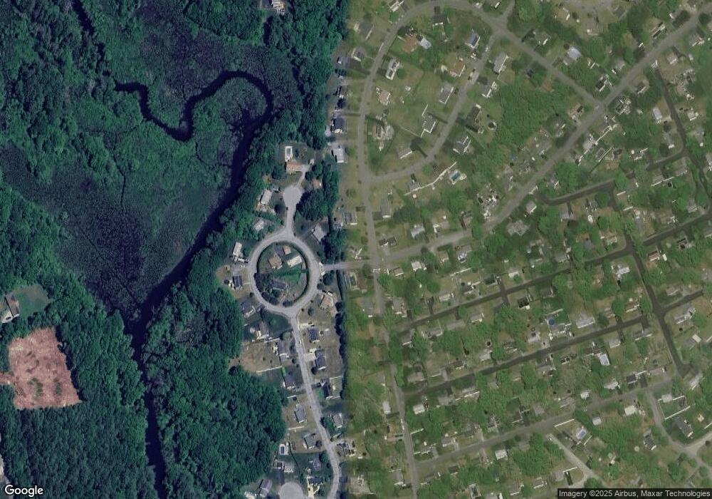
Map
Nearby Homes
Your Personal Tour Guide
Ask me questions while you tour the home.