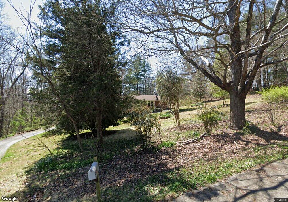
72 Lori Ln Pisgah Forest, NC 28768
Estimated Value: $373,000 - $493,000
3
Beds
2
Baths
1,613
Sq Ft
$262/Sq Ft
Est. Value
About This Home
This home is located at 72 Lori Ln, Pisgah Forest, NC 28768 and is currently estimated at $423,164, approximately $262 per square foot. 72 Lori Ln is a home located in Transylvania County with nearby schools including Brevard Academy and Anchor Baptist Academy.
Ownership History
Date
Name
Owned For
Owner Type
Purchase Details
Closed on
Jul 21, 2021
Sold by
Bennett Amy and Bennett Michael
Bought by
Annesser Diane and Woeppel Rlt Patricia M
Current Estimated Value
Purchase Details
Closed on
Oct 9, 2019
Sold by
Connor Sarah B O and Taylor Benjamin D
Bought by
Bennett Amy
Home Financials for this Owner
Home Financials are based on the most recent Mortgage that was taken out on this home.
Original Mortgage
$128,000
Interest Rate
3.5%
Mortgage Type
New Conventional
Purchase Details
Closed on
Feb 1, 2011
Bought by
Taylor Winifred
Create a Home Valuation Report for This Property
The Home Valuation Report is an in-depth analysis detailing your home's value as well as a comparison with similar homes in the area
Home Values in the Area
Average Home Value in this Area
Purchase History
| Date | Buyer | Sale Price | Title Company |
|---|---|---|---|
| Annesser Diane | $190,000 | Chicago Title Insurance Co | |
| Bennett Amy | $160,000 | None Available | |
| Taylor Winifred | -- | -- |
Source: Public Records
Mortgage History
| Date | Status | Borrower | Loan Amount |
|---|---|---|---|
| Previous Owner | Bennett Amy | $128,000 |
Source: Public Records
Tax History Compared to Growth
Tax History
| Year | Tax Paid | Tax Assessment Tax Assessment Total Assessment is a certain percentage of the fair market value that is determined by local assessors to be the total taxable value of land and additions on the property. | Land | Improvement |
|---|---|---|---|---|
| 2025 | $2,026 | $421,620 | $50,000 | $371,620 |
| 2024 | $1,404 | $213,300 | $40,000 | $173,300 |
| 2023 | $1,404 | $213,300 | $40,000 | $173,300 |
| 2022 | $1,404 | $213,300 | $40,000 | $173,300 |
| 2021 | $1,393 | $213,300 | $40,000 | $173,300 |
| 2020 | $1,184 | $170,170 | $0 | $0 |
| 2019 | $1,176 | $170,170 | $0 | $0 |
| 2018 | $1,024 | $170,170 | $0 | $0 |
| 2017 | $1,025 | $170,170 | $0 | $0 |
| 2016 | $1,019 | $170,170 | $0 | $0 |
| 2015 | $836 | $180,270 | $35,000 | $145,270 |
| 2014 | $836 | $180,270 | $35,000 | $145,270 |
Source: Public Records
Map
Nearby Homes
- 35&61 Ahava Rd
- 200 Riley Ln
- ACROSS 675 Kayla West Dr W Unit MHP, 9 UNITS
- TBD NorMcOl Rd
- 55 Locust Ln
- 63 Evergreen Cove
- 1019 Hudlin Gap Rd
- 398 NorMcOl Dr
- 4040 Asheville Hwy
- 788 Old Nc 280
- 54 Hillside Heights
- 71 Laurel Mountain Rd
- 57 Big Branch Rd
- 226 Pisgah Dr
- 176 Pisgah Dr
- 160 Tanglewood Heights
- 9999 Poplar Ln Unit 505,506,507
- TBD Asheville Hwy
- 75 Twin Oaks Ln
- 573 Valeria Ln