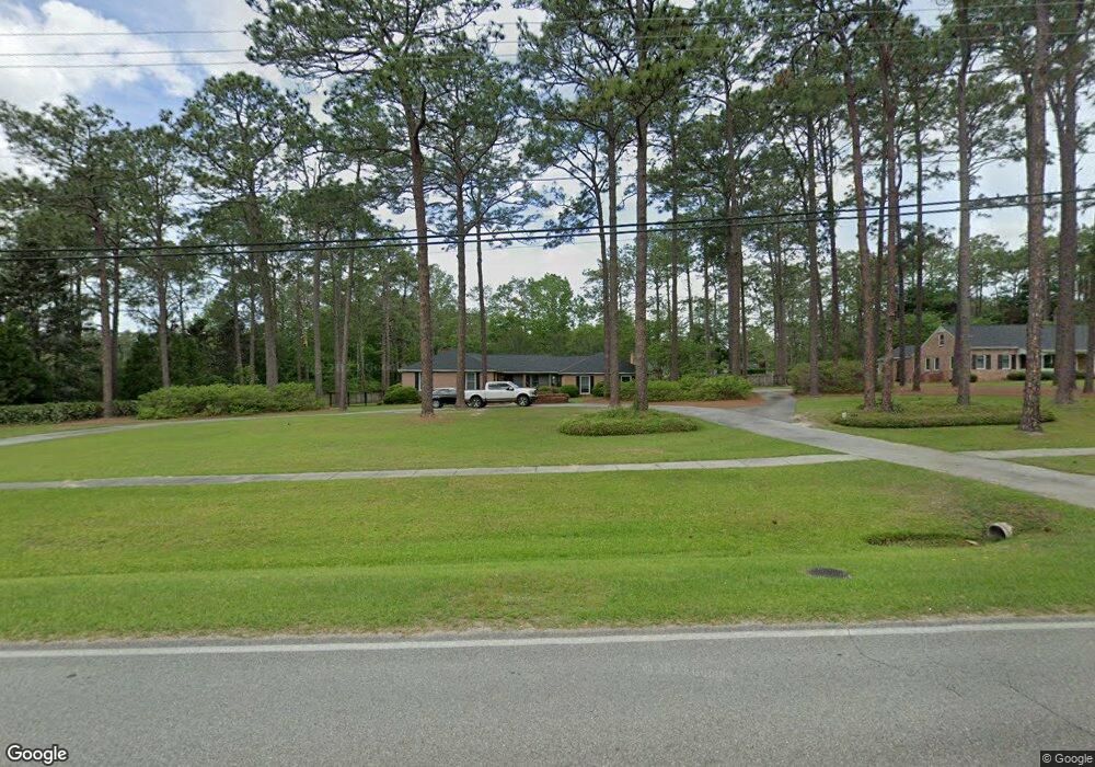
72 Lower Meigs Rd Moultrie, GA 31768
Estimated Value: $581,765 - $813,000
--
Bed
2
Baths
3,436
Sq Ft
$197/Sq Ft
Est. Value
About This Home
This home is located at 72 Lower Meigs Rd, Moultrie, GA 31768 and is currently estimated at $677,691, approximately $197 per square foot. 72 Lower Meigs Rd is a home located in Colquitt County with nearby schools including Wright Elementary School, Willie J. Williams Middle School, and C.A. Gray Junior High School.
Ownership History
Date
Name
Owned For
Owner Type
Purchase Details
Closed on
Sep 2, 2025
Sold by
Bartosh Pamela A
Bought by
Bartosh Robert A and Corwin Melissa
Current Estimated Value
Purchase Details
Closed on
May 27, 2021
Sold by
Norris Jan
Bought by
Bartosh Pamela
Purchase Details
Closed on
Mar 31, 2020
Sold by
Smith Brad
Bought by
Norris Jan Duggan and Norris Robert E
Purchase Details
Closed on
Nov 20, 2000
Bought by
Smith Brad
Purchase Details
Closed on
Nov 22, 1999
Sold by
Vereen Betty B
Bought by
Smith Brad
Purchase Details
Closed on
Nov 4, 1992
Bought by
Vereen Betty B
Create a Home Valuation Report for This Property
The Home Valuation Report is an in-depth analysis detailing your home's value as well as a comparison with similar homes in the area
Home Values in the Area
Average Home Value in this Area
Purchase History
| Date | Buyer | Sale Price | Title Company |
|---|---|---|---|
| Bartosh Robert A | $250,000 | -- | |
| Bartosh Pamela | $542,500 | -- | |
| Norris Jan Duggan | $390,000 | -- | |
| Smith Brad | -- | -- | |
| Smith Brad | $190,000 | -- | |
| Vereen Betty B | -- | -- |
Source: Public Records
Tax History Compared to Growth
Tax History
| Year | Tax Paid | Tax Assessment Tax Assessment Total Assessment is a certain percentage of the fair market value that is determined by local assessors to be the total taxable value of land and additions on the property. | Land | Improvement |
|---|---|---|---|---|
| 2024 | $6,891 | $231,580 | $14,300 | $217,280 |
| 2023 | $6,990 | $227,885 | $14,300 | $213,585 |
| 2022 | $7,264 | $219,924 | $14,300 | $205,624 |
| 2021 | $4,311 | $128,651 | $14,300 | $114,351 |
| 2020 | $3,627 | $106,709 | $14,300 | $92,409 |
| 2019 | $3,892 | $101,762 | $14,300 | $87,462 |
| 2018 | $4,064 | $101,762 | $14,300 | $87,462 |
| 2017 | $3,851 | $101,762 | $14,300 | $87,462 |
| 2016 | $4,010 | $101,762 | $14,300 | $87,462 |
| 2015 | $4,020 | $101,762 | $14,300 | $87,462 |
| 2014 | $4,117 | $101,762 | $14,300 | $87,462 |
| 2013 | -- | $101,762 | $14,300 | $87,462 |
Source: Public Records
Map
Nearby Homes
- 0 Gatewood Cir Unit 1652303
- 1712 Villa Dr SW
- 0 Georgia 33
- 1941 S Main St
- 2021 S Main St
- 1777 S Main St
- 905 Barbara Cir
- 1546 Ivy Ln
- 904 Barbara Cir
- 29 17th Ave SE
- 304 Tallokas Rd
- 1935 4th St SE
- 1904 5th St SE
- 1310 S Main St
- 204 Nandina Dr
- 1732 4th St SE
- M041 5th St SE
- 1175 4th St SW
- 210 13th Ave SE
- 1215 12th St SW
- 60 Lower Meigs Rd
- 100 Poplar Trail
- 98 Poplar Trail
- 102 Poplar Trail
- 104 Poplar Trail
- 50 Lower Meigs Rd
- 106 Poplar Trail
- 99 Poplar Trail
- 65 Lower Meigs Rd
- 101 Poplar Trail
- 103 Poplar Trail
- 105 Poplar Trail
- 108 Poplar Trail
- 61 Lower Meigs Rd
- 107 Poplar Trail
- 84 Lower Meigs Rd
- 110 Poplar Trail
- 102 Long Leaf Dr
- 121 Poplar Trail
- 109 Poplar Trail