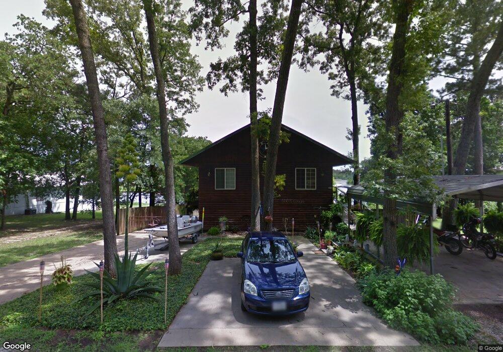
72 Magnolia Dr Huntsville, TX 77340
Estimated Value: $215,000 - $257,000
3
Beds
2
Baths
1,420
Sq Ft
$170/Sq Ft
Est. Value
About This Home
This home is located at 72 Magnolia Dr, Huntsville, TX 77340 and is currently estimated at $241,762, approximately $170 per square foot. 72 Magnolia Dr is a home located in Walker County with nearby schools including Samuel Houston Elementary School, Mance Park Middle School, and Huntsville Intermediate School.
Ownership History
Date
Name
Owned For
Owner Type
Purchase Details
Closed on
Mar 15, 2007
Sold by
Kowis Bobby
Bought by
Corner Renate
Current Estimated Value
Home Financials for this Owner
Home Financials are based on the most recent Mortgage that was taken out on this home.
Original Mortgage
$15,000
Interest Rate
6.23%
Mortgage Type
Seller Take Back
Create a Home Valuation Report for This Property
The Home Valuation Report is an in-depth analysis detailing your home's value as well as a comparison with similar homes in the area
Home Values in the Area
Average Home Value in this Area
Purchase History
| Date | Buyer | Sale Price | Title Company |
|---|---|---|---|
| Corner Renate | -- | -- |
Source: Public Records
Mortgage History
| Date | Status | Borrower | Loan Amount |
|---|---|---|---|
| Previous Owner | Corner Renate | $15,000 |
Source: Public Records
Tax History Compared to Growth
Tax History
| Year | Tax Paid | Tax Assessment Tax Assessment Total Assessment is a certain percentage of the fair market value that is determined by local assessors to be the total taxable value of land and additions on the property. | Land | Improvement |
|---|---|---|---|---|
| 2024 | $1,638 | $248,840 | $37,500 | $211,340 |
| 2023 | $1,638 | $251,837 | $0 | $0 |
| 2022 | $3,879 | $228,943 | $0 | $0 |
| 2021 | $3,605 | $208,130 | $37,500 | $170,630 |
| 2020 | $3,604 | $198,470 | $34,000 | $164,470 |
| 2019 | $3,852 | $198,230 | $34,000 | $164,230 |
| 2018 | $3,926 | $198,280 | $38,000 | $160,280 |
| 2017 | $3,647 | $188,910 | $38,000 | $150,910 |
| 2016 | $3,316 | $163,310 | $22,800 | $140,510 |
| 2015 | -- | $156,930 | $22,800 | $134,130 |
| 2014 | -- | $138,890 | $19,000 | $119,890 |
Source: Public Records
Map
Nearby Homes
- 0 Cedar Ct Unit 47715538
- 68 Cypress Bend
- 70 Cypress Bend
- 52 Cypress Bend
- 10 Oakwood Ln
- 15 Oakwood Ln
- 3 Cypress Bend
- 11 Lookout Ridge
- 18 Oakland Ct
- 4 Drywood Ln
- 13 Firewood Rd
- 37 Firewood Rd
- 2 Firewood Rd
- 1 Peninsula Point
- 7 Peninsula Point
- 50 Hunters Creek Dr
- 55 Hunters Creek Dr
- 52 Hunters Creek Dr
- 4 Firewood Rd
- 25 Firewood