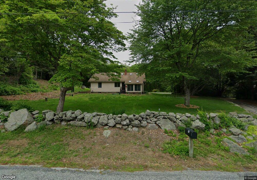
72 Middle Rd Preston, CT 06365
Estimated Value: $336,000 - $565,000
3
Beds
3
Baths
2,328
Sq Ft
$202/Sq Ft
Est. Value
About This Home
This home is located at 72 Middle Rd, Preston, CT 06365 and is currently estimated at $471,083, approximately $202 per square foot. 72 Middle Rd is a home located in New London County with nearby schools including Integrated Day Charter School, St. Bernard School, and Saint Bernard School.
Ownership History
Date
Name
Owned For
Owner Type
Purchase Details
Closed on
May 16, 2000
Sold by
Yerrington James H and Yerrington Pamela J
Bought by
Gauthier Jon C and Allyn-Gauthier Sandra
Current Estimated Value
Home Financials for this Owner
Home Financials are based on the most recent Mortgage that was taken out on this home.
Original Mortgage
$144,700
Interest Rate
8.21%
Mortgage Type
Purchase Money Mortgage
Purchase Details
Closed on
Jun 21, 1994
Sold by
Gauthier Norman E and Gauthier Dorothy
Bought by
Yerrington Janis H and Yerrington Pamela
Create a Home Valuation Report for This Property
The Home Valuation Report is an in-depth analysis detailing your home's value as well as a comparison with similar homes in the area
Home Values in the Area
Average Home Value in this Area
Purchase History
| Date | Buyer | Sale Price | Title Company |
|---|---|---|---|
| Gauthier Jon C | $183,000 | -- | |
| Yerrington Janis H | $152,500 | -- |
Source: Public Records
Mortgage History
| Date | Status | Borrower | Loan Amount |
|---|---|---|---|
| Open | Yerrington Janis H | $195,300 | |
| Closed | Yerrington Janis H | $72,000 | |
| Closed | Yerrington Janis H | $144,700 | |
| Previous Owner | Yerrington Janis H | $28,000 |
Source: Public Records
Tax History
| Year | Tax Paid | Tax Assessment Tax Assessment Total Assessment is a certain percentage of the fair market value that is determined by local assessors to be the total taxable value of land and additions on the property. | Land | Improvement |
|---|---|---|---|---|
| 2025 | $6,259 | $249,270 | $52,080 | $197,190 |
| 2024 | $5,825 | $249,270 | $52,080 | $197,190 |
| 2023 | $5,721 | $249,270 | $52,080 | $197,190 |
| 2022 | $4,776 | $171,300 | $45,900 | $125,400 |
| 2021 | $4,615 | $171,300 | $45,900 | $125,400 |
| 2020 | $4,608 | $171,300 | $45,900 | $125,400 |
| 2019 | $4,527 | $171,300 | $45,900 | $125,400 |
| 2018 | $4,459 | $171,300 | $45,900 | $125,400 |
| 2017 | $4,342 | $180,900 | $45,900 | $135,000 |
| 2016 | $4,296 | $180,900 | $45,900 | $135,000 |
| 2015 | $4,161 | $180,900 | $45,900 | $135,000 |
| 2014 | $4,186 | $180,900 | $45,900 | $135,000 |
Source: Public Records
Map
Nearby Homes
- 7 Barn Rd
- 104 Route 2a
- 36 Route 2a
- 11 Willow Ln
- 15 Paster Rd
- 31 Woodland Dr
- 552 Laurel Hill Rd
- 5 Mount Laurel Rd
- 55 Bentley Ave
- 547 Old Laurel Hill Rd
- 3 Holdsworth Rd
- 278 Palmer Street Extension
- 105 Stonington Rd
- 68 Thermos Ave Unit 222
- 9 Bushnell Place
- 10 Buttercup Ln
- 7 Rose St
- 9 Thames Terrace
- 16 Marlene Dr
- 26 Kinney Ave
Your Personal Tour Guide
Ask me questions while you tour the home.