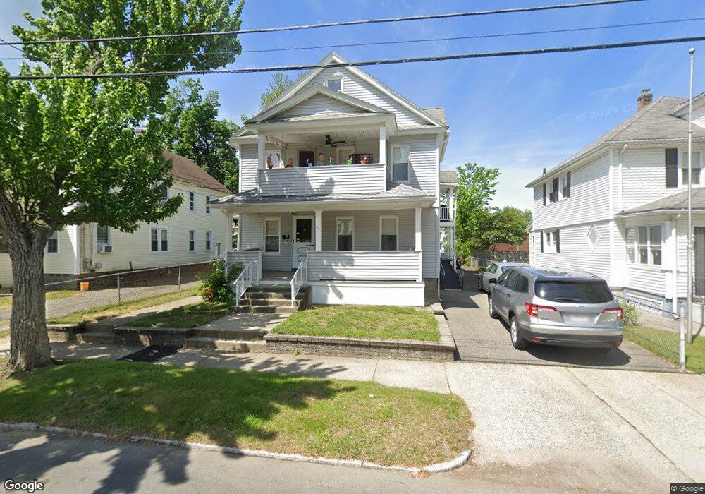
72 Monrovia St Unit 74 Springfield, MA 01104
East Springfield NeighborhoodEstimated Value: $359,505 - $426,000
6
Beds
2
Baths
2,686
Sq Ft
$149/Sq Ft
Est. Value
About This Home
This home is located at 72 Monrovia St Unit 74, Springfield, MA 01104 and is currently estimated at $401,376, approximately $149 per square foot. 72 Monrovia St Unit 74 is a home located in Hampden County with nearby schools including Mary O. Pottenger Elementary School, Van Sickle Academy, and Springfield Central High School.
Ownership History
Date
Name
Owned For
Owner Type
Purchase Details
Closed on
Aug 14, 2009
Sold by
Ross Carlton L and Ross Marie J
Bought by
Ross Matthew A and Ross Carlton L
Current Estimated Value
Purchase Details
Closed on
Apr 24, 1986
Bought by
Ross Carlton L and Ross Marie J
Create a Home Valuation Report for This Property
The Home Valuation Report is an in-depth analysis detailing your home's value as well as a comparison with similar homes in the area
Home Values in the Area
Average Home Value in this Area
Purchase History
| Date | Buyer | Sale Price | Title Company |
|---|---|---|---|
| Ross Matthew A | -- | -- | |
| Ross Carlton L | $77,700 | -- |
Source: Public Records
Mortgage History
| Date | Status | Borrower | Loan Amount |
|---|---|---|---|
| Previous Owner | Ross Carlton L | $69,200 |
Source: Public Records
Tax History
| Year | Tax Paid | Tax Assessment Tax Assessment Total Assessment is a certain percentage of the fair market value that is determined by local assessors to be the total taxable value of land and additions on the property. | Land | Improvement |
|---|---|---|---|---|
| 2025 | $5,193 | $331,200 | $37,200 | $294,000 |
| 2024 | $4,490 | $279,600 | $37,200 | $242,400 |
| 2023 | $4,230 | $248,100 | $34,700 | $213,400 |
| 2022 | $4,263 | $226,500 | $32,400 | $194,100 |
| 2021 | $3,691 | $195,300 | $29,500 | $165,800 |
| 2020 | $3,562 | $182,400 | $29,500 | $152,900 |
| 2019 | $3,340 | $169,700 | $30,500 | $139,200 |
| 2018 | $3,085 | $164,600 | $30,500 | $134,100 |
| 2017 | $3,085 | $156,900 | $27,600 | $129,300 |
| 2016 | $2,965 | $150,800 | $27,600 | $123,200 |
| 2015 | $2,947 | $149,800 | $27,600 | $122,200 |
Source: Public Records
Map
Nearby Homes
- 114 Monrovia St
- 152 Monrovia St
- 158 Monrovia St
- 58 Eureka St
- 200 El Paso St
- 47 Holy Cross St
- 42 Marquette St
- 102 San Miguel St
- 83 Oklahoma St
- 143 Saint James Cir
- 147 Bowles Park
- 225 Osborne Terrace
- 173 Russell St
- 251 Edendale St
- 1730 Carew St
- 47 Victoria St
- 112 W Canton Cir
- 44 Naismith St
- 73 Melville
- 104 Chateaugay St
- 68 Monrovia St
- 78 Monrovia St Unit 80
- 73 Santa Barbara St
- 82 Monrovia St Unit 84
- 515 Page Blvd
- 79 Santa Barbara St
- 83 Santa Barbara St
- 71 Monrovia St Unit 73
- 88 Monrovia St
- 77 Monrovia St
- 69 Monrovia St
- 81 Monrovia St
- 89 Santa Barbara St
- 61 Monrovia St Unit 63
- 92 Monrovia St Unit 94
- 92-94 Monrovia St
- 87 Monrovia St Unit 89
- 535 Page Blvd
- 95 Santa Barbara St
- 497 Page Blvd Unit 499
Your Personal Tour Guide
Ask me questions while you tour the home.