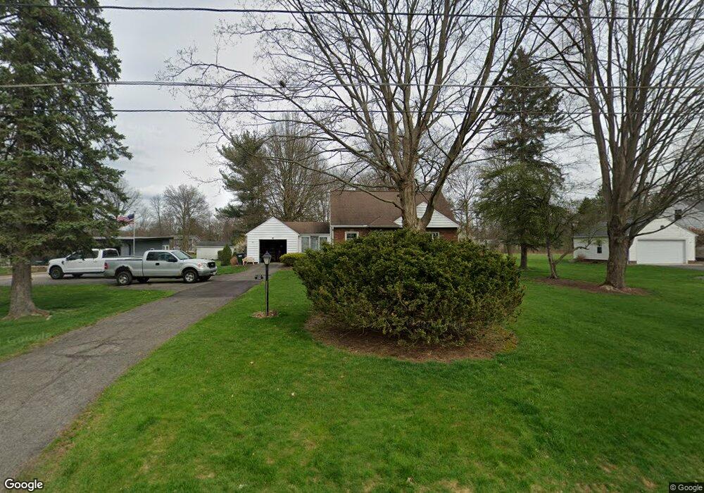
72 N Alling Rd Tallmadge, OH 44278
Estimated Value: $223,792 - $248,000
3
Beds
2
Baths
1,238
Sq Ft
$189/Sq Ft
Est. Value
About This Home
This home is located at 72 N Alling Rd, Tallmadge, OH 44278 and is currently estimated at $234,448, approximately $189 per square foot. 72 N Alling Rd is a home located in Summit County with nearby schools including Tallmadge Middle School, Tallmadge High School, and Steel Academy.
Ownership History
Date
Name
Owned For
Owner Type
Purchase Details
Closed on
Aug 9, 2002
Sold by
National City Bank Trustee
Bought by
Leone Robert A and Brubach Kerry L
Current Estimated Value
Home Financials for this Owner
Home Financials are based on the most recent Mortgage that was taken out on this home.
Original Mortgage
$115,200
Outstanding Balance
$49,026
Interest Rate
6.63%
Estimated Equity
$185,422
Purchase Details
Closed on
Oct 25, 1999
Sold by
Hart Harris H
Bought by
National City Bank and The Second Amended & Restated Harris H H
Create a Home Valuation Report for This Property
The Home Valuation Report is an in-depth analysis detailing your home's value as well as a comparison with similar homes in the area
Home Values in the Area
Average Home Value in this Area
Purchase History
| Date | Buyer | Sale Price | Title Company |
|---|---|---|---|
| Leone Robert A | $128,000 | Bond & Associates Title Agen | |
| National City Bank | -- | -- |
Source: Public Records
Mortgage History
| Date | Status | Borrower | Loan Amount |
|---|---|---|---|
| Open | Leone Robert A | $115,200 |
Source: Public Records
Tax History Compared to Growth
Tax History
| Year | Tax Paid | Tax Assessment Tax Assessment Total Assessment is a certain percentage of the fair market value that is determined by local assessors to be the total taxable value of land and additions on the property. | Land | Improvement |
|---|---|---|---|---|
| 2025 | $3,001 | $60,165 | $17,136 | $43,029 |
| 2024 | $3,001 | $60,165 | $17,136 | $43,029 |
| 2023 | $3,001 | $60,165 | $17,136 | $43,029 |
| 2022 | $2,538 | $41,584 | $11,816 | $29,768 |
| 2021 | $2,549 | $41,584 | $11,816 | $29,768 |
| 2020 | $2,529 | $41,590 | $11,820 | $29,770 |
| 2019 | $2,710 | $39,850 | $11,240 | $28,610 |
| 2018 | $2,387 | $39,850 | $11,240 | $28,610 |
| 2017 | $2,176 | $39,850 | $11,240 | $28,610 |
| 2016 | $2,348 | $36,010 | $11,240 | $24,770 |
| 2015 | $2,176 | $36,010 | $11,240 | $24,770 |
| 2014 | $2,162 | $36,010 | $11,240 | $24,770 |
| 2013 | $2,202 | $37,350 | $11,240 | $26,110 |
Source: Public Records
Map
Nearby Homes
- 185 Reserve Dr
- 213 Green Hill Dr
- 331 Southeast Ave
- 313 Southeast Ave
- 353 Southeast Ave
- 617 Northeast Ave
- 0 East Ave
- 243 S Munroe Rd
- 288 S Munroe Rd
- 158 Minwood Ave
- 557 Wring Dr
- 130 Strecker Dr
- 368 Knollwood Ave
- 206 Fawnwood Dr
- 810 Norton Dr
- 532 Beverly Dr
- 313 Whittlesey Dr
- 0 Northeast Ave Unit 5114314
- 159 Waterford Way Unit 44
- 500 Dottie Ct Unit 109
- 84 N Alling Rd
- 60 N Alling Rd
- 90 N Alling Rd
- 77 N Alling Rd
- 69 N Alling Rd
- 87 N Alling Rd
- 38 N Alling Rd
- 38 N Alling Rd
- 61 N Alling Rd
- 49 N Alling Rd
- 545 Fairwood Dr
- 535 Fairwood Dr
- 109 N Alling Rd
- 555 Fairwood Dr
- 525 Fairwood Dr
- 112 N Alling Rd
- 565 Fairwood Dr
- 29 N Alling Rd
- 575 Fairwood Dr
- 117 N Alling Rd