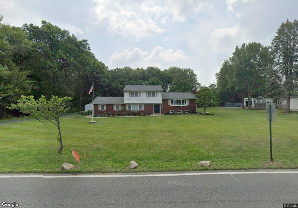
72 N Jefferson Rd Whippany, NJ 07981
Estimated Value: $796,126 - $1,040,000
--
Bed
--
Bath
2,366
Sq Ft
$396/Sq Ft
Est. Value
About This Home
This home is located at 72 N Jefferson Rd, Whippany, NJ 07981 and is currently estimated at $938,032, approximately $396 per square foot. 72 N Jefferson Rd is a home located in Morris County with nearby schools including Whippany Park High School, Arrow Academy, and Allegro School.
Ownership History
Date
Name
Owned For
Owner Type
Purchase Details
Closed on
Jun 14, 2007
Sold by
Grenke George E and Grenke Diana Carol
Bought by
Doyle David and Doyle Danielle
Current Estimated Value
Home Financials for this Owner
Home Financials are based on the most recent Mortgage that was taken out on this home.
Original Mortgage
$93,000
Outstanding Balance
$58,065
Interest Rate
6.39%
Mortgage Type
Stand Alone Second
Estimated Equity
$879,967
Purchase Details
Closed on
Mar 25, 1999
Sold by
Macaluso Gaetano and Grenke Diana Carol
Bought by
Grenke George E and Grenke Diana Carol
Create a Home Valuation Report for This Property
The Home Valuation Report is an in-depth analysis detailing your home's value as well as a comparison with similar homes in the area
Home Values in the Area
Average Home Value in this Area
Purchase History
| Date | Buyer | Sale Price | Title Company |
|---|---|---|---|
| Doyle David | $625,000 | Chicago Title Insurance Co | |
| Grenke George E | -- | -- |
Source: Public Records
Mortgage History
| Date | Status | Borrower | Loan Amount |
|---|---|---|---|
| Open | Doyle David | $93,000 | |
| Previous Owner | Doyle David | $500,000 |
Source: Public Records
Tax History Compared to Growth
Tax History
| Year | Tax Paid | Tax Assessment Tax Assessment Total Assessment is a certain percentage of the fair market value that is determined by local assessors to be the total taxable value of land and additions on the property. | Land | Improvement |
|---|---|---|---|---|
| 2025 | $10,822 | $513,400 | $229,000 | $284,400 |
| 2024 | $10,776 | $513,400 | $229,000 | $284,400 |
| 2023 | $10,776 | $513,400 | $229,000 | $284,400 |
| 2022 | $9,857 | $513,400 | $229,000 | $284,400 |
| 2021 | $9,857 | $513,400 | $229,000 | $284,400 |
| 2020 | $9,683 | $513,400 | $229,000 | $284,400 |
| 2019 | $9,714 | $513,400 | $229,000 | $284,400 |
| 2018 | $9,544 | $513,400 | $229,000 | $284,400 |
| 2017 | $9,262 | $513,400 | $229,000 | $284,400 |
| 2016 | $8,520 | $479,200 | $229,000 | $250,200 |
| 2015 | $8,180 | $479,200 | $229,000 | $250,200 |
| 2014 | $8,003 | $479,200 | $229,000 | $250,200 |
Source: Public Records
Map
Nearby Homes
- 7 Berkshire St
- 92 Sunrise Dr
- 26 Gladstone Ct
- 34 Gladstone Ct
- 14 Gladstone Ct
- 23 Gladstone Ct
- 42 Gladstone Ct
- 96 Parsippany Rd
- 39 Lefke Ln
- Monterey Plan at The Grove - The Monterey Collection
- Pershing Plan at The Grove - The Pershing Collection
- 16 Nantes Rd
- 67 Parsippany Rd
- 11 Nemic Ln
- 45 Polhemus Terrace
- 2 Dunkirk Dr
- Route 10 E E Route 10 Unit 48 1B
- 3306 Appleton Way
- 91 Rhyan Dr
- 79 Rhyan Dr