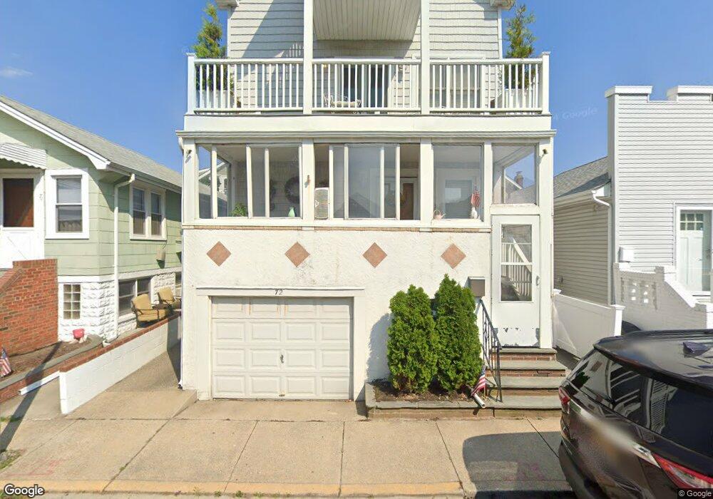
72 Nevada Ave Long Beach, NY 11561
Estimated Value: $941,641 - $1,239,000
--
Bed
4
Baths
2,020
Sq Ft
$540/Sq Ft
Est. Value
About This Home
This home is located at 72 Nevada Ave, Long Beach, NY 11561 and is currently estimated at $1,090,321, approximately $539 per square foot. 72 Nevada Ave is a home located in Nassau County with nearby schools including Lido Elementary School, West Elementary School, and Lindell Elementary School.
Ownership History
Date
Name
Owned For
Owner Type
Purchase Details
Closed on
Jun 9, 1999
Sold by
Holmes Susan E
Bought by
Desantis Albert A
Current Estimated Value
Home Financials for this Owner
Home Financials are based on the most recent Mortgage that was taken out on this home.
Original Mortgage
$166,000
Outstanding Balance
$43,924
Interest Rate
7.09%
Mortgage Type
Purchase Money Mortgage
Estimated Equity
$1,046,397
Create a Home Valuation Report for This Property
The Home Valuation Report is an in-depth analysis detailing your home's value as well as a comparison with similar homes in the area
Home Values in the Area
Average Home Value in this Area
Purchase History
| Date | Buyer | Sale Price | Title Company |
|---|---|---|---|
| Desantis Albert A | $175,000 | -- |
Source: Public Records
Mortgage History
| Date | Status | Borrower | Loan Amount |
|---|---|---|---|
| Open | Desantis Albert A | $166,000 |
Source: Public Records
Tax History Compared to Growth
Tax History
| Year | Tax Paid | Tax Assessment Tax Assessment Total Assessment is a certain percentage of the fair market value that is determined by local assessors to be the total taxable value of land and additions on the property. | Land | Improvement |
|---|---|---|---|---|
| 2025 | $8,927 | $708 | $219 | $489 |
| 2024 | $1,141 | $708 | $219 | $489 |
| 2023 | $8,115 | $596 | $215 | $381 |
| 2022 | $8,115 | $608 | $219 | $389 |
| 2021 | $16,693 | $606 | $210 | $396 |
| 2020 | $13,238 | $1,216 | $613 | $603 |
| 2019 | $10,567 | $1,216 | $613 | $603 |
| 2018 | $9,937 | $1,216 | $0 | $0 |
| 2017 | $6,922 | $1,216 | $613 | $603 |
| 2016 | $1,439 | $1,216 | $613 | $603 |
| 2015 | $1,370 | $1,216 | $613 | $603 |
| 2014 | $1,370 | $1,216 | $613 | $603 |
| 2013 | $1,280 | $1,216 | $613 | $603 |
Source: Public Records
Map
Nearby Homes
- 68 Brookline Ave
- 80 Illinois Ave
- 101 Connecticut Ave
- 103 Connecticut Ave
- 88 Buffalo Ave
- 31 Rochester Ave
- 87 Mohawk Ave
- 26 Kentucky St
- 29 Indiana Ave
- 21 Oswego Ave
- 101 Bay St
- 71 Michigan St
- 67 Michigan St
- 100 Mark Ln
- 68 Michigan St
- 64 Michigan St
- 1007 W Park Ave
- 991 W Park Ave
- 77 New Hampshire St
- 981 Oceanfront
- 74 Nevada Ave Unit Upstairs
- 74 Nevada Ave
- 74 Nevada Ave
- 74 Nevada Ave Unit upper
- 70 Nevada Ave
- 68 Nevada Ave
- 73 Ohio Ave
- 75 Ohio Ave
- 76 Nevada Ave
- 71 Ohio Ave
- 78 Nevada Ave
- 69 Ohio Ave
- 66 Nevada Ave
- 72 Brookline Ave
- 74 Brookline Ave
- 74 Brookline Ave Unit Upper
- 74 Brookline Ave Unit 1
- 79 Ohio Ave
- 79 Ohio Ave Unit Lower
- 79 Ohio Ave Unit Main