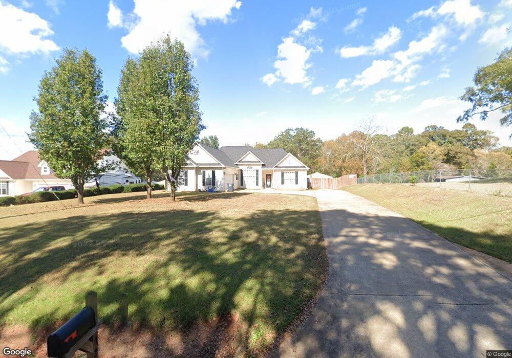
72 Newton Rd Unit 7 Lagrange, GA 30240
Estimated Value: $282,000 - $330,000
3
Beds
2
Baths
1,718
Sq Ft
$178/Sq Ft
Est. Value
About This Home
This home is located at 72 Newton Rd Unit 7, Lagrange, GA 30240 and is currently estimated at $306,553, approximately $178 per square foot. 72 Newton Rd Unit 7 is a home located in Troup County with nearby schools including Long Cane Elementary School, Berta Weathersbee Elementary School, and Whitesville Road Elementary School.
Ownership History
Date
Name
Owned For
Owner Type
Purchase Details
Closed on
Mar 4, 2024
Sold by
Barfield Martin G
Bought by
Mccray Shanda Johnson
Current Estimated Value
Home Financials for this Owner
Home Financials are based on the most recent Mortgage that was taken out on this home.
Original Mortgage
$270,019
Outstanding Balance
$265,528
Interest Rate
6.63%
Mortgage Type
FHA
Estimated Equity
$41,025
Purchase Details
Closed on
May 31, 2019
Sold by
Harmon Danielle Leigh
Bought by
Barfield Martin G and Barfield Tasha N
Home Financials for this Owner
Home Financials are based on the most recent Mortgage that was taken out on this home.
Original Mortgage
$169,900
Interest Rate
4.1%
Purchase Details
Closed on
Jul 30, 2013
Sold by
Blevins Joanne S
Bought by
Harmon Danielle Leigh
Home Financials for this Owner
Home Financials are based on the most recent Mortgage that was taken out on this home.
Original Mortgage
$144,100
Interest Rate
4.29%
Mortgage Type
VA
Purchase Details
Closed on
Jan 27, 2006
Sold by
Brooks Mary Virginia
Bought by
Blevins Carl G and Blevins Joanne S
Purchase Details
Closed on
Apr 7, 2004
Sold by
Kenneth Woodard
Bought by
Brooks Mary Virginia
Purchase Details
Closed on
Feb 14, 2003
Sold by
Gregory T Williams
Bought by
Kenneth Woodard
Purchase Details
Closed on
Mar 27, 2002
Bought by
Gregory T Williams
Create a Home Valuation Report for This Property
The Home Valuation Report is an in-depth analysis detailing your home's value as well as a comparison with similar homes in the area
Home Values in the Area
Average Home Value in this Area
Purchase History
| Date | Buyer | Sale Price | Title Company |
|---|---|---|---|
| Mccray Shanda Johnson | $275,000 | -- | |
| Barfield Martin G | $169,900 | -- | |
| Harmon Danielle Leigh | $144,100 | -- | |
| Blevins Carl G | $82,500 | -- | |
| Blevins Carl G | $82,500 | -- | |
| Brooks Mary Virginia | $131,500 | -- | |
| Kenneth Woodard | $33,800 | -- | |
| Gregory T Williams | -- | -- |
Source: Public Records
Mortgage History
| Date | Status | Borrower | Loan Amount |
|---|---|---|---|
| Open | Mccray Shanda Johnson | $270,019 | |
| Previous Owner | Barfield Martin G | $169,900 | |
| Previous Owner | Harmon Danielle Leigh | $144,100 |
Source: Public Records
Tax History Compared to Growth
Tax History
| Year | Tax Paid | Tax Assessment Tax Assessment Total Assessment is a certain percentage of the fair market value that is determined by local assessors to be the total taxable value of land and additions on the property. | Land | Improvement |
|---|---|---|---|---|
| 2024 | -- | $104,880 | $14,000 | $90,880 |
| 2023 | $0 | $88,280 | $10,000 | $78,280 |
| 2022 | $2,104 | $75,400 | $8,000 | $67,400 |
| 2021 | $2,029 | $67,280 | $8,000 | $59,280 |
| 2020 | $2,029 | $67,280 | $8,000 | $59,280 |
| 2019 | $1,983 | $65,760 | $6,000 | $59,760 |
| 2018 | $1,801 | $59,720 | $2,800 | $56,920 |
| 2017 | $1,801 | $59,720 | $2,800 | $56,920 |
| 2016 | $1,773 | $58,795 | $2,800 | $55,995 |
| 2015 | $1,776 | $58,795 | $2,800 | $55,995 |
| 2014 | $1,658 | $54,790 | $2,800 | $51,990 |
| 2013 | -- | $53,480 | $2,800 | $50,680 |
Source: Public Records
Map
Nearby Homes
- 119 Plymouth Dr
- 141 Plymouth Dr
- 101 Ivy Springs Dr
- 135 Planters Ridge Dr
- 100 Huntcliff Ct
- 102 Franklin Place
- 474 Newton Rd
- 40 River Point Dr
- 124 Foxdale Dr
- 110 Hawthorne Cir
- 105 Hawthorne Cir
- 0 Deming St Unit 10550189
- 103 Hawthorne Cir
- 190 Hill Rd
- 205 Linda Ln
- 709 Vernon Ferry Rd
- 103 Dogwood Ct
- 108 Hidden Springs Dr
- 226 Linda Ln
- 104 Dogwood Point