72 Nighthawk Ln Carson, WA 98610
Estimated Value: $650,000 - $744,000
3
Beds
3
Baths
3,565
Sq Ft
$195/Sq Ft
Est. Value
About This Home
This home is located at 72 Nighthawk Ln, Carson, WA 98610 and is currently estimated at $694,532, approximately $194 per square foot. 72 Nighthawk Ln is a home located in Skamania County with nearby schools including Carson Elementary School, Stevenson Elementary School, and Wind River Middle School.
Ownership History
Date
Name
Owned For
Owner Type
Purchase Details
Closed on
May 27, 2009
Sold by
The Bank Of New York Mellon Trust Co
Bought by
The Bank Of New York Mellon
Current Estimated Value
Purchase Details
Closed on
Mar 18, 2009
Sold by
Bank Of New York Mellon
Bought by
Coats Charlene M and Pounds Larry S
Purchase Details
Closed on
Oct 14, 2008
Sold by
Northwest Trustee Services Inc
Bought by
The Bank Of New York Trust Company N A
Create a Home Valuation Report for This Property
The Home Valuation Report is an in-depth analysis detailing your home's value as well as a comparison with similar homes in the area
Purchase History
We collect this data history from publicly available records. To have your information removed, we recommend requesting removal directly through your county’s website.
| Date | Buyer | Sale Price | Title Company |
|---|---|---|---|
| The Bank Of New York Mellon | -- | Skamania County Title Compan | |
| Coats Charlene M | $375,000 | Skamania County Title Compan | |
| The Bank Of New York Trust Company N A | $532,346 | Skamania County Title |
Source: Public Records
Tax History
| Year | Tax Paid | Tax Assessment Tax Assessment Total Assessment is a certain percentage of the fair market value that is determined by local assessors to be the total taxable value of land and additions on the property. | Land | Improvement |
|---|---|---|---|---|
| 2026 | $5,460 | $654,000 | $171,400 | $482,600 |
| 2025 | $4,957 | $596,800 | $147,000 | $449,800 |
| 2024 | $5,062 | $596,800 | $147,000 | $449,800 |
| 2023 | $4,769 | $561,000 | $137,000 | $424,000 |
| 2022 | $4,755 | $490,700 | $122,000 | $368,700 |
| 2021 | $4,499 | $401,000 | $101,800 | $299,200 |
| 2020 | $4,184 | $401,000 | $101,800 | $299,200 |
| 2019 | $3,673 | $384,800 | $96,800 | $288,000 |
| 2018 | $4,173 | $384,800 | $96,800 | $288,000 |
| 2017 | $2,884 | $328,000 | $88,000 | $240,000 |
| 2015 | $2,979 | $295,000 | $58,000 | $237,000 |
| 2013 | -- | $295,000 | $58,000 | $237,000 |
Source: Public Records
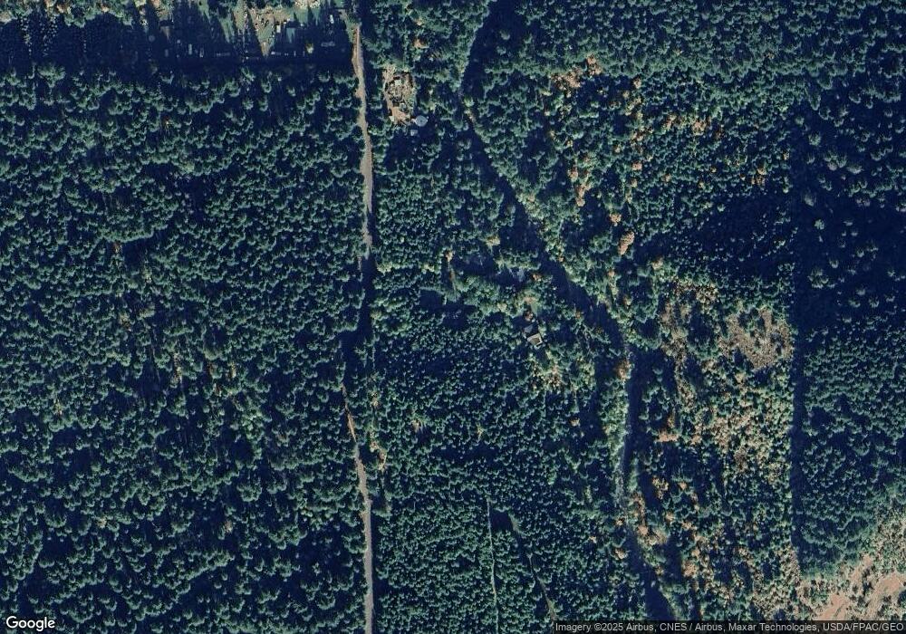
Map
Nearby Homes
- 0 Boulder Ridge Unit 283611920
- 252 Blackledge Rd
- 11 Edgewater Dr
- 0 Bear Creek Rd
- 151 Russells Timber
- 1281 Szydlo Rd
- 81 Mathany Rd
- 0 Mathany Rd Unit 117462889
- 81 Wind Crest Rd
- 252 Estabrook Loop
- 52 Estabrook Loop
- 181 Vada St
- 161 Cannavina Pvt Rd Unit 4
- 201 Josheanka Dr
- 92 Cannavinna Rd Unit 17
- 92 Cannavinna Rd
- 752 Metzger Rd
- 92 Evans St
- 1451 Wind River Hwy
- 3031 Loop Rd
- 71 Nighthawk Ln
- 691 Panther Creek Rd
- 231 Panther Creek Rd
- 231 Cedar Creek Rd
- 252 Louther Rd
- 192 Cedar Creek Rd
- 0 Lot 4 Boulder Ridge Unit 8109048
- 0 Trink Dr Unit Lot 2 10055121
- 0 Bolder Ridge Dr Unit 8
- 212 Panther Creek Rd
- 152 Louther Rd
- 0 Mcqueen Rd
- 271 Cedar Creek Rd
- 262 Cedar Creek Rd
- 332 Cedar Creek Rd
- 1482 Old State Rd
- 382 Cedar Creek Rd
- 1552 Old State Rd
- 6362 Wind River Hwy
- 22 Coats Rd
Your Personal Tour Guide
Ask me questions while you tour the home.