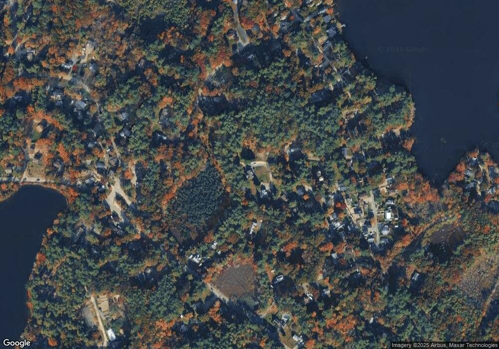
72 Oak St Hanson, MA 02341
Estimated Value: $562,000 - $589,000
4
Beds
2
Baths
1,120
Sq Ft
$516/Sq Ft
Est. Value
About This Home
This home is located at 72 Oak St, Hanson, MA 02341 and is currently estimated at $577,463, approximately $515 per square foot. 72 Oak St is a home located in Plymouth County.
Ownership History
Date
Name
Owned For
Owner Type
Purchase Details
Closed on
Jun 29, 2007
Sold by
Jeneve Corp
Bought by
Maslanka Brian M
Current Estimated Value
Home Financials for this Owner
Home Financials are based on the most recent Mortgage that was taken out on this home.
Original Mortgage
$336,015
Outstanding Balance
$207,151
Interest Rate
6.24%
Mortgage Type
Purchase Money Mortgage
Estimated Equity
$370,312
Create a Home Valuation Report for This Property
The Home Valuation Report is an in-depth analysis detailing your home's value as well as a comparison with similar homes in the area
Home Values in the Area
Average Home Value in this Area
Purchase History
| Date | Buyer | Sale Price | Title Company |
|---|---|---|---|
| Maslanka Brian M | $353,700 | -- |
Source: Public Records
Mortgage History
| Date | Status | Borrower | Loan Amount |
|---|---|---|---|
| Open | Maslanka Brian M | $336,015 |
Source: Public Records
Tax History Compared to Growth
Tax History
| Year | Tax Paid | Tax Assessment Tax Assessment Total Assessment is a certain percentage of the fair market value that is determined by local assessors to be the total taxable value of land and additions on the property. | Land | Improvement |
|---|---|---|---|---|
| 2025 | $5,926 | $442,900 | $166,900 | $276,000 |
| 2024 | $5,798 | $433,300 | $162,100 | $271,200 |
| 2023 | $5,688 | $401,100 | $162,100 | $239,000 |
| 2022 | $5,544 | $367,400 | $147,300 | $220,100 |
| 2021 | $4,995 | $330,800 | $141,700 | $189,100 |
| 2020 | $4,914 | $321,800 | $136,800 | $185,000 |
| 2019 | $4,501 | $289,800 | $119,500 | $170,300 |
| 2018 | $4,442 | $280,600 | $114,900 | $165,700 |
| 2017 | $4,302 | $269,200 | $109,400 | $159,800 |
| 2016 | $4,368 | $263,900 | $109,400 | $154,500 |
| 2015 | $4,136 | $259,800 | $109,400 | $150,400 |
Source: Public Records
Map
Nearby Homes
- 269 Lakeside Rd
- 134 Crescent St
- 456 Gorwin Dr
- 18 Wampatuck St
- Lot 6 Way
- 26 Stonebridge Dr
- 22 Mill Pond Rd
- 10 Fir Rd
- 29 Liberty Dr Unit 29
- 430 Brook Bend Rd
- 204 Center St Unit 9
- 20 Montclair Ave
- 418 E Washington St
- 84 Liberty St
- 249 W Elm St
- Lot 5 Princeton Way
- 290 School St
- 285 W Elm St
- 318 South St
- 7 Farmside Dr
