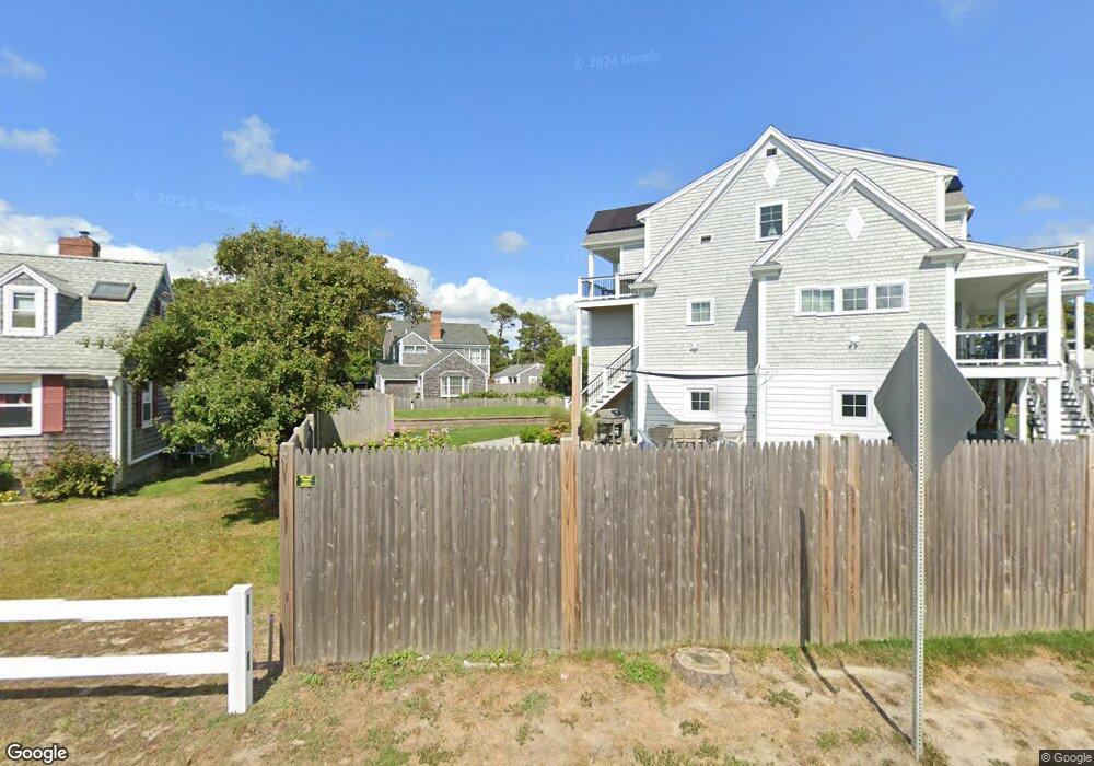
72 Old Wharf Rd Dennis Port, MA 02639
Dennis Port NeighborhoodEstimated Value: $346,000 - $2,143,503
2
Beds
2
Baths
480
Sq Ft
$2,593/Sq Ft
Est. Value
About This Home
This home is located at 72 Old Wharf Rd, Dennis Port, MA 02639 and is currently estimated at $1,244,752, approximately $2,593 per square foot. 72 Old Wharf Rd is a home located in Barnstable County with nearby schools including Dennis-Yarmouth Regional High School and St. Pius X. School.
Ownership History
Date
Name
Owned For
Owner Type
Purchase Details
Closed on
Jan 26, 2018
Sold by
Cummings Cynthia A
Bought by
Cape Cod Vacation Rent
Current Estimated Value
Purchase Details
Closed on
Mar 25, 2002
Sold by
Cummings Karen L
Bought by
Cummings Cynthia A
Purchase Details
Closed on
Jun 28, 1973
Bought by
Cummings Cynthia A
Create a Home Valuation Report for This Property
The Home Valuation Report is an in-depth analysis detailing your home's value as well as a comparison with similar homes in the area
Home Values in the Area
Average Home Value in this Area
Purchase History
| Date | Buyer | Sale Price | Title Company |
|---|---|---|---|
| Cape Cod Vacation Rent | $260,000 | -- | |
| Cummings Cynthia A | $64,000 | -- | |
| Cummings Cynthia A | -- | -- |
Source: Public Records
Tax History Compared to Growth
Tax History
| Year | Tax Paid | Tax Assessment Tax Assessment Total Assessment is a certain percentage of the fair market value that is determined by local assessors to be the total taxable value of land and additions on the property. | Land | Improvement |
|---|---|---|---|---|
| 2025 | $8,095 | $1,869,400 | $355,900 | $1,513,500 |
| 2024 | $7,993 | $1,820,800 | $342,200 | $1,478,600 |
| 2023 | $7,731 | $1,655,500 | $311,100 | $1,344,400 |
| 2022 | $2,336 | $417,100 | $293,300 | $123,800 |
| 2021 | $2,111 | $350,100 | $287,500 | $62,600 |
| 2020 | $2,316 | $379,600 | $319,500 | $60,100 |
| 2019 | $2,074 | $336,100 | $271,000 | $65,100 |
| 2018 | $1,700 | $268,100 | $216,700 | $51,400 |
| 2017 | $1,649 | $268,100 | $216,700 | $51,400 |
| 2016 | $1,666 | $255,100 | $211,500 | $43,600 |
| 2015 | $1,633 | $255,100 | $211,500 | $43,600 |
| 2014 | $1,588 | $250,000 | $206,400 | $43,600 |
Source: Public Records
Map
Nearby Homes
- 112 Old Wharf Rd Unit E4
- 112 Old Wharf Rd Unit E1
- 37 Ocean Dr Unit 2
- 64 Beaten Rd
- 120 Old Wharf Rd Unit 11
- 154 Old Wharf Rd Unit 26
- 154 Old Wharf Rd Unit 14
- 6 Baker Way
- 217 Old Wharf Rd Unit 64
- 241 Old Wharf Rd Unit 82
- 241 Old Wharf Rd Unit 127
- 241 Old Wharf Rd Unit 90
- 80 Michaels Ave
- 262 Old Wharf Rd Unit 67
- 262 Old Wharf Rd Unit 5
- 262 Old Wharf Rd Unit 5
- 262 Old Wharf Rd Unit 20
- 262 Old Wharf Rd Unit 87
- 31 Easy St
- 37 Beach Hills Rd
- 77 Ocean Dr
- 68 Old Wharf Rd
- 73 Ocean Dr
- 73 Ocean Dr Unit 1 & 2
- 73 Ocean Dr Unit 2
- 73 Ocean Dr Unit 1
- 8 Shirley Ave
- 69 Ocean Dr
- 69 Ocean Dr Unit 1,2,3
- 69 Ocean Dr Unit 2
- 62 Old Wharf Rd
- 3 Shirley Ave
- 3 Shirley Ave
- 10 Shirley Ave
- 78 Ocean Dr
- 67 Ocean Dr
- 2 Grindell Ave
- 76 Ocean Dr
- 82 Ocean Dr
- 4 Grindell Ave