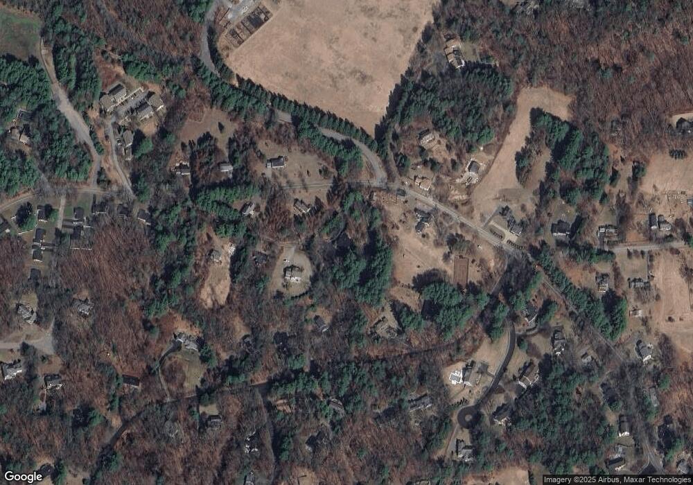
72 Oxbow Rd Wayland, MA 01778
Estimated Value: $1,049,315 - $1,242,000
3
Beds
2
Baths
2,056
Sq Ft
$552/Sq Ft
Est. Value
About This Home
This home is located at 72 Oxbow Rd, Wayland, MA 01778 and is currently estimated at $1,134,079, approximately $551 per square foot. 72 Oxbow Rd is a home located in Middlesex County with nearby schools including Wayland High School and Corwin-Russell School at Broccoli Hall.
Create a Home Valuation Report for This Property
The Home Valuation Report is an in-depth analysis detailing your home's value as well as a comparison with similar homes in the area
Home Values in the Area
Average Home Value in this Area
Tax History Compared to Growth
Tax History
| Year | Tax Paid | Tax Assessment Tax Assessment Total Assessment is a certain percentage of the fair market value that is determined by local assessors to be the total taxable value of land and additions on the property. | Land | Improvement |
|---|---|---|---|---|
| 2025 | $13,814 | $883,800 | $581,000 | $302,800 |
| 2024 | $13,079 | $842,700 | $553,300 | $289,400 |
| 2023 | $12,509 | $751,300 | $503,700 | $247,600 |
| 2022 | $12,063 | $657,400 | $418,800 | $238,600 |
| 2021 | $11,488 | $620,300 | $381,700 | $238,600 |
| 2020 | $10,938 | $615,900 | $381,700 | $234,200 |
| 2019 | $10,825 | $592,200 | $364,000 | $228,200 |
| 2018 | $10,506 | $582,700 | $364,000 | $218,700 |
| 2017 | $10,021 | $552,400 | $346,500 | $205,900 |
| 2016 | $9,516 | $548,800 | $339,700 | $209,100 |
| 2015 | $9,885 | $537,500 | $339,700 | $197,800 |
Source: Public Records
Map
Nearby Homes
- 8 Sandy Hill Rd
- 134 Chestnut Cir
- 224 Aspen Cir
- 12 Pine Ridge Rd
- 11 Grove St
- 25 Birchwood Ln
- 3 Tally Ho Ln
- 49 Birchwood Ln Unit 49
- 244 Lincoln Rd
- 93 Old Sudbury Rd
- 236 Lincoln Rd
- 41 River Ridge
- 198 Lincoln Rd
- 15 Lewis Path
- Lot 5 Sailaway Ln
- Lot 4 Sailaway Ln
- 2 Betts Way
- 8 Mina Way
- 0 Elm Unit 73282184
- Lot 9 Sailaway Ln
