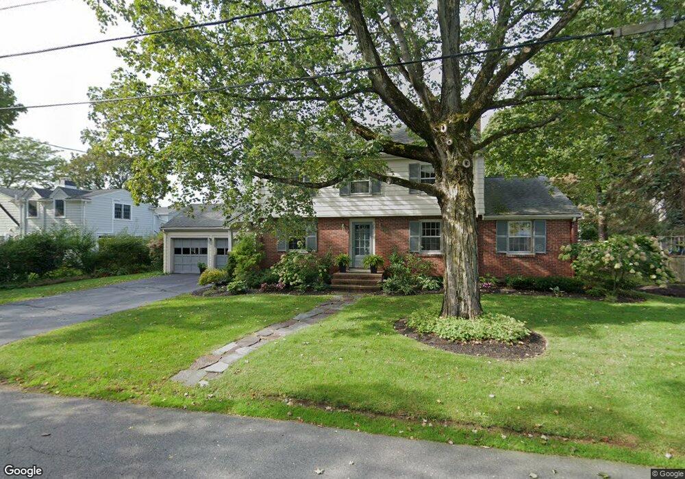
72 Oxford St Winchester, MA 01890
The Flats NeighborhoodEstimated Value: $1,688,000 - $2,381,000
3
Beds
3
Baths
2,428
Sq Ft
$851/Sq Ft
Est. Value
About This Home
This home is located at 72 Oxford St, Winchester, MA 01890 and is currently estimated at $2,065,977, approximately $850 per square foot. 72 Oxford St is a home located in Middlesex County with nearby schools including Vinson-Owen Elementary School, McCall Middle School, and Winchester High School.
Ownership History
Date
Name
Owned For
Owner Type
Purchase Details
Closed on
May 18, 2016
Sold by
Moynihan Margaret L
Bought by
Margaret L Rowley Ret
Current Estimated Value
Purchase Details
Closed on
May 2, 2007
Sold by
Shannon Ft Re Llc
Bought by
Marcu Cristian and Zywina Wioletta
Home Financials for this Owner
Home Financials are based on the most recent Mortgage that was taken out on this home.
Original Mortgage
$600,000
Interest Rate
6.23%
Mortgage Type
Purchase Money Mortgage
Purchase Details
Closed on
Oct 20, 2003
Sold by
Shannon Carolyn S
Bought by
Shannon Ft Rlest Llc
Purchase Details
Closed on
Mar 14, 1978
Bought by
Rowley Margaret Louise
Create a Home Valuation Report for This Property
The Home Valuation Report is an in-depth analysis detailing your home's value as well as a comparison with similar homes in the area
Home Values in the Area
Average Home Value in this Area
Purchase History
| Date | Buyer | Sale Price | Title Company |
|---|---|---|---|
| Margaret L Rowley Ret | -- | -- | |
| Marcu Cristian | $750,000 | -- | |
| Shannon Ft Rlest Llc | -- | -- | |
| Rowley Margaret Louise | -- | -- |
Source: Public Records
Mortgage History
| Date | Status | Borrower | Loan Amount |
|---|---|---|---|
| Previous Owner | Marcu Cristian | $600,000 |
Source: Public Records
Tax History
| Year | Tax Paid | Tax Assessment Tax Assessment Total Assessment is a certain percentage of the fair market value that is determined by local assessors to be the total taxable value of land and additions on the property. | Land | Improvement |
|---|---|---|---|---|
| 2025 | $190 | $1,715,800 | $1,219,400 | $496,400 |
| 2024 | $18,621 | $1,643,500 | $1,183,500 | $460,000 |
| 2023 | $18,433 | $1,562,100 | $1,111,800 | $450,300 |
| 2022 | $17,903 | $1,431,100 | $1,004,200 | $426,900 |
| 2021 | $16,751 | $1,305,600 | $878,700 | $426,900 |
| 2020 | $16,176 | $1,305,600 | $878,700 | $426,900 |
| 2019 | $14,508 | $1,198,000 | $771,100 | $426,900 |
| 2018 | $14,243 | $1,168,400 | $753,200 | $415,200 |
| 2017 | $13,609 | $1,108,200 | $716,400 | $391,800 |
| 2016 | $12,807 | $1,096,500 | $716,400 | $380,100 |
| 2015 | $12,348 | $1,017,100 | $651,000 | $366,100 |
| 2014 | $11,978 | $946,100 | $591,800 | $354,300 |
Source: Public Records
Map
Nearby Homes
Your Personal Tour Guide
Ask me questions while you tour the home.