Estimated Value: $384,000 - $404,000
3
Beds
1
Bath
1,067
Sq Ft
$366/Sq Ft
Est. Value
About This Home
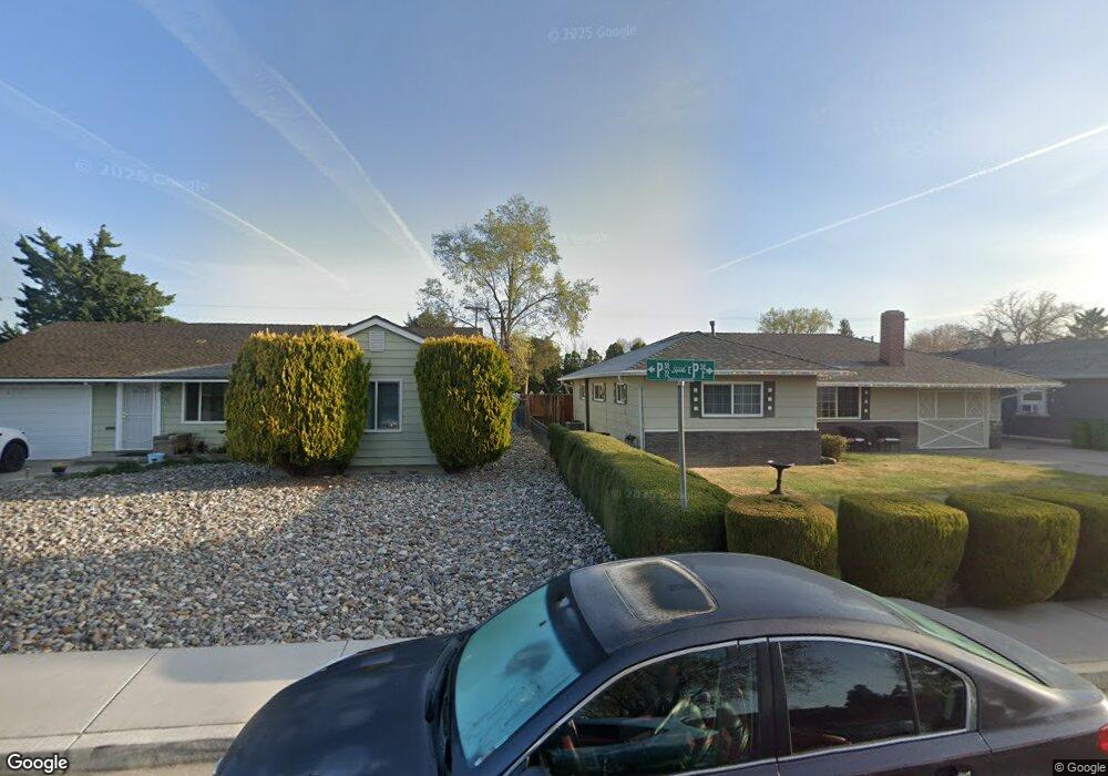
This home is located at 72 P St, Sparks, NV 89431 and is currently estimated at $390,350, approximately $365 per square foot. 72 P St is a home located in Washoe County with nearby schools including Greenbrae Elementary School, George L Dilworth Middle School, and Sparks High School.
Ownership History
Date
Name
Owned For
Owner Type
Purchase Details
Closed on
May 25, 2011
Sold by
Tolotti Ryan B and Tolotti Christy
Bought by
Tolotti Ryan B and Tolotti Christy A
Current Estimated Value
Purchase Details
Closed on
Nov 14, 2005
Sold by
Tolotti Ryan B and Tolotti Christy
Bought by
Tolotti Ryan B and Tolotti Christy
Home Financials for this Owner
Home Financials are based on the most recent Mortgage that was taken out on this home.
Original Mortgage
$130,000
Outstanding Balance
$69,769
Interest Rate
5.9%
Mortgage Type
New Conventional
Estimated Equity
$320,581
Purchase Details
Closed on
Apr 10, 2002
Sold by
Kennedy Robert D
Bought by
Tolotti Ryan B and Tolotti Christy A
Home Financials for this Owner
Home Financials are based on the most recent Mortgage that was taken out on this home.
Original Mortgage
$94,400
Interest Rate
6.78%
Create a Home Valuation Report for This Property
The Home Valuation Report is an in-depth analysis detailing your home's value as well as a comparison with similar homes in the area
Home Values in the Area
Average Home Value in this Area
Purchase History
| Date | Buyer | Sale Price | Title Company |
|---|---|---|---|
| Tolotti Ryan B | -- | None Available | |
| Tolotti Ryan B | -- | First Centennial Title Co | |
| Tolotti Ryan B | $118,000 | First American Title |
Source: Public Records
Mortgage History
| Date | Status | Borrower | Loan Amount |
|---|---|---|---|
| Open | Tolotti Ryan B | $130,000 | |
| Closed | Tolotti Ryan B | $94,400 |
Source: Public Records
Tax History
| Year | Tax Paid | Tax Assessment Tax Assessment Total Assessment is a certain percentage of the fair market value that is determined by local assessors to be the total taxable value of land and additions on the property. | Land | Improvement |
|---|---|---|---|---|
| 2026 | $614 | $50,474 | $34,090 | $16,384 |
| 2024 | $763 | $45,406 | $30,065 | $15,341 |
| 2023 | $707 | $45,556 | $31,325 | $14,231 |
| 2022 | $655 | $37,788 | $26,180 | $11,608 |
| 2021 | $627 | $29,258 | $17,955 | $11,303 |
| 2020 | $588 | $28,030 | $16,940 | $11,090 |
| 2019 | $571 | $26,394 | $15,890 | $10,504 |
| 2018 | $546 | $21,798 | $11,725 | $10,073 |
| 2017 | $530 | $20,289 | $10,395 | $9,894 |
| 2016 | $517 | $19,226 | $9,345 | $9,881 |
| 2015 | $516 | $17,524 | $7,700 | $9,824 |
| 2014 | $501 | $15,716 | $6,440 | $9,276 |
| 2013 | -- | $13,330 | $4,270 | $9,060 |
Source: Public Records
Map
Nearby Homes
- 8 E O St
- 181 Quail St
- 105 O St
- 115 P St
- 14 E Greenbrae Dr
- 28 Arndell Way
- 314 M St
- 1940 4th St Unit 20
- 1940 4th St Unit 51
- 1940 4th St Unit 46
- 343 Richards Way
- 112 K St
- 1945 4th St Unit 22
- 1945 4th St Unit 14
- 1945 4th St Unit 51
- 1108 1st St
- 370 O'Brien Way
- 480 E Mclean Way
- 2557 Janelle Dr
- 1030 4th St
Your Personal Tour Guide
Ask me questions while you tour the home.