72 Paddock Ln North Andover, MA 01845
Estimated Value: $981,639 - $1,217,000
4
Beds
3
Baths
2,716
Sq Ft
$393/Sq Ft
Est. Value
About This Home
This home is located at 72 Paddock Ln, North Andover, MA 01845 and is currently estimated at $1,066,910, approximately $392 per square foot. 72 Paddock Ln is a home located in Essex County with nearby schools including Franklin Elementary School, North Andover Middle School, and North Andover High School.
Ownership History
Date
Name
Owned For
Owner Type
Purchase Details
Closed on
May 15, 2008
Sold by
Delaney Peter M and Delaney Maggie T
Bought by
Miller Jonathan H and Miller Bonnie M
Current Estimated Value
Home Financials for this Owner
Home Financials are based on the most recent Mortgage that was taken out on this home.
Original Mortgage
$417,000
Interest Rate
5.91%
Mortgage Type
Purchase Money Mortgage
Purchase Details
Closed on
Mar 18, 1994
Sold by
Thomas Donald C
Bought by
Delaney Peter R
Create a Home Valuation Report for This Property
The Home Valuation Report is an in-depth analysis detailing your home's value as well as a comparison with similar homes in the area
Home Values in the Area
Average Home Value in this Area
Purchase History
| Date | Buyer | Sale Price | Title Company |
|---|---|---|---|
| Miller Jonathan H | $550,000 | -- | |
| Delaney Peter R | $290,000 | -- |
Source: Public Records
Mortgage History
| Date | Status | Borrower | Loan Amount |
|---|---|---|---|
| Open | Delaney Peter R | $399,000 | |
| Closed | Delaney Peter R | $412,500 | |
| Closed | Miller Jonathan H | $417,000 |
Source: Public Records
Tax History
| Year | Tax Paid | Tax Assessment Tax Assessment Total Assessment is a certain percentage of the fair market value that is determined by local assessors to be the total taxable value of land and additions on the property. | Land | Improvement |
|---|---|---|---|---|
| 2025 | $9,776 | $868,200 | $414,000 | $454,200 |
| 2024 | $9,302 | $838,800 | $392,200 | $446,600 |
| 2023 | $8,845 | $722,600 | $331,300 | $391,300 |
| 2022 | $8,406 | $621,300 | $287,700 | $333,600 |
| 2021 | $8,070 | $569,500 | $261,600 | $307,900 |
| 2020 | $7,734 | $562,900 | $255,000 | $307,900 |
| 2019 | $7,548 | $562,900 | $255,000 | $307,900 |
| 2018 | $8,179 | $562,900 | $255,000 | $307,900 |
| 2017 | $7,458 | $522,300 | $224,500 | $297,800 |
| 2016 | $7,124 | $499,200 | $226,700 | $272,500 |
| 2015 | $7,077 | $491,800 | $213,200 | $278,600 |
Source: Public Records
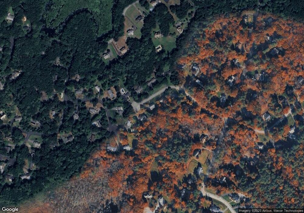
Map
Nearby Homes
- 37 Sullivan St
- 65 Amberville Rd
- 66 Compass Point Unit 66
- 133B Salem
- 49 Windsor Ln
- 47 Harold Parker Rd
- 2 Pipers Glen
- 991 Johnson St
- 344 S Main St
- 906 Alder Way Unit 906
- 23 Belknap Dr
- 224 Raleigh Tavern Ln
- 2 Harvest Dr Unit 209
- 2 Harvest Dr Unit 301
- 3 Harvest Dr Unit 303
- 57 Salem St
- 1205 Harvest Dr Unit 205
- 52 Salem St
- 49 Salem St
- 3 Regency Ridge
Your Personal Tour Guide
Ask me questions while you tour the home.