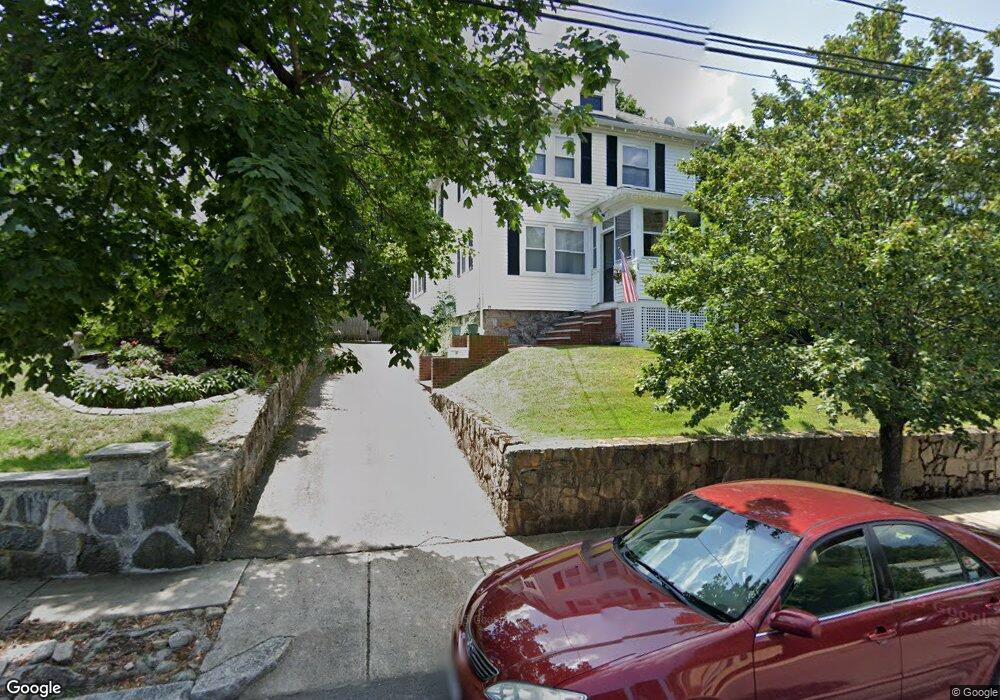
72 Perham St West Roxbury, MA 02132
West Roxbury NeighborhoodEstimated Value: $689,000 - $842,000
3
Beds
2
Baths
1,271
Sq Ft
$590/Sq Ft
Est. Value
About This Home
This home is located at 72 Perham St, West Roxbury, MA 02132 and is currently estimated at $750,119, approximately $590 per square foot. 72 Perham St is a home located in Suffolk County with nearby schools including St Theresa School, Holy Name Parish School, and Catholic Memorial School.
Create a Home Valuation Report for This Property
The Home Valuation Report is an in-depth analysis detailing your home's value as well as a comparison with similar homes in the area
Home Values in the Area
Average Home Value in this Area
Tax History
| Year | Tax Paid | Tax Assessment Tax Assessment Total Assessment is a certain percentage of the fair market value that is determined by local assessors to be the total taxable value of land and additions on the property. | Land | Improvement |
|---|---|---|---|---|
| 2025 | $7,622 | $658,200 | $252,500 | $405,700 |
| 2024 | $6,642 | $609,400 | $262,100 | $347,300 |
| 2023 | $6,233 | $580,400 | $249,600 | $330,800 |
| 2022 | $5,741 | $527,700 | $227,000 | $300,700 |
| 2021 | $5,403 | $506,400 | $222,500 | $283,900 |
| 2020 | $5,059 | $479,100 | $199,200 | $279,900 |
| 2019 | $4,808 | $456,200 | $167,100 | $289,100 |
| 2018 | $4,428 | $422,500 | $167,100 | $255,400 |
| 2017 | $4,384 | $414,000 | $167,100 | $246,900 |
| 2016 | $4,422 | $402,000 | $167,100 | $234,900 |
| 2015 | $4,356 | $359,700 | $162,200 | $197,500 |
| 2014 | $4,014 | $319,100 | $162,200 | $156,900 |
Source: Public Records
Map
Nearby Homes
- 73 Dent St Unit 2
- 183 Temple St
- 340 Baker St Unit 2
- 425 Lagrange St Unit 203
- 1216 Vfw Pkwy Unit 40
- 116 Spring St Unit D2
- 348 Lagrange St
- 15 Cass St Unit 3
- 17 Cass St Unit 4
- 76 Lasell St
- 37 Hastings St Unit 201
- 68 Carroll St
- 17 Hastings St Unit 5
- 23 Atlantis St
- 17-31 Charles Park Rd Unit 196
- 2231 Centre St
- 205 Park St Unit 2
- 78 Howitt Rd
- 72 Redlands Rd
- 55 Redlands Rd
Your Personal Tour Guide
Ask me questions while you tour the home.