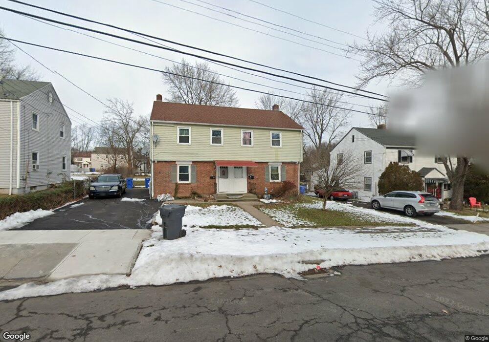
72 Pershing St Unit 74 Hartford, CT 06112
Blue Hills NeighborhoodEstimated Value: $265,000 - $358,000
6
Beds
2
Baths
1,961
Sq Ft
$154/Sq Ft
Est. Value
About This Home
This home is located at 72 Pershing St Unit 74, Hartford, CT 06112 and is currently estimated at $302,777, approximately $154 per square foot. 72 Pershing St Unit 74 is a home located in Hartford County with nearby schools including Rawson School, Breakthrough Magnet School - North Campus, and West Middle School.
Ownership History
Date
Name
Owned For
Owner Type
Purchase Details
Closed on
Apr 26, 2017
Sold by
Carreiro Irene
Bought by
Carreiro Irene and Carreiro John M
Current Estimated Value
Purchase Details
Closed on
Sep 16, 2013
Sold by
Defreitas Jose C
Bought by
Carreiro Irene
Purchase Details
Closed on
May 30, 2012
Sold by
Defreitas Helena C
Bought by
Defreitas Jose C
Purchase Details
Closed on
Mar 23, 1987
Sold by
Menard Edgar C
Bought by
Defreitas Jose C
Home Financials for this Owner
Home Financials are based on the most recent Mortgage that was taken out on this home.
Original Mortgage
$100,000
Interest Rate
9.02%
Mortgage Type
Purchase Money Mortgage
Create a Home Valuation Report for This Property
The Home Valuation Report is an in-depth analysis detailing your home's value as well as a comparison with similar homes in the area
Home Values in the Area
Average Home Value in this Area
Purchase History
| Date | Buyer | Sale Price | Title Company |
|---|---|---|---|
| Carreiro Irene | -- | -- | |
| Carreiro Irene | -- | -- | |
| Carreiro Irene | -- | -- | |
| Defreitas Jose C | -- | -- | |
| Defreitas Jose C | $115,000 | -- |
Source: Public Records
Mortgage History
| Date | Status | Borrower | Loan Amount |
|---|---|---|---|
| Previous Owner | Defreitas Jose C | $90,000 | |
| Previous Owner | Defreitas Jose C | $100,000 |
Source: Public Records
Tax History
| Year | Tax Paid | Tax Assessment Tax Assessment Total Assessment is a certain percentage of the fair market value that is determined by local assessors to be the total taxable value of land and additions on the property. | Land | Improvement |
|---|---|---|---|---|
| 2025 | $4,754 | $68,943 | $5,733 | $63,210 |
| 2024 | $4,754 | $68,943 | $5,733 | $63,210 |
| 2023 | $4,754 | $68,943 | $5,733 | $63,210 |
| 2022 | $4,754 | $68,943 | $5,733 | $63,210 |
| 2021 | $3,640 | $49,000 | $6,825 | $42,175 |
| 2020 | $3,640 | $49,000 | $6,825 | $42,175 |
| 2019 | $3,640 | $49,000 | $6,825 | $42,175 |
| 2018 | $3,517 | $47,348 | $6,595 | $40,753 |
| 2016 | $3,714 | $49,990 | $6,281 | $43,709 |
| 2015 | $3,537 | $47,615 | $5,982 | $41,633 |
| 2014 | $3,451 | $46,451 | $5,836 | $40,615 |
Source: Public Records
Map
Nearby Homes
- 26 Baltic St Unit 28
- 35 Baltic St
- 97 Boothbay St
- 11 Pershing St Unit 13
- 97 E Burnham St
- 86 Hartland St
- 13 Patton Rd
- 747 Blue Hills Ave
- 200 Hartland St
- 18 Darby St
- 90 Manchester St
- 110 Darby St
- 83 Colebrook St Unit 85
- 51 Pembroke St
- 180 Brookline Ave
- 216 Cornwall St
- 171 N Canaan St
- 166 Pembroke St
- 57 Love Ln
- 275 Westland St
- 68 Pershing St Unit 70
- 78 Pershing St Unit 80
- 75 Pershing St Unit 77
- 82 Pershing St
- 71 Pershing St Unit 73
- 67 Pershing St
- 81 Pershing St
- 62 Pershing St Unit 64
- 85 Pershing St
- 88 Pershing St
- 61 Pershing St Unit 63
- 215 Coventry St
- 56 Pershing St Unit 58
- 221 Coventry St
- 199 Coventry St
- 75 Boothbay St Unit 77
- 52 Pershing St Unit 54
- 71 Boothbay St Unit 73
- 55 Pershing St Unit 57
- 81 Boothbay St
Your Personal Tour Guide
Ask me questions while you tour the home.