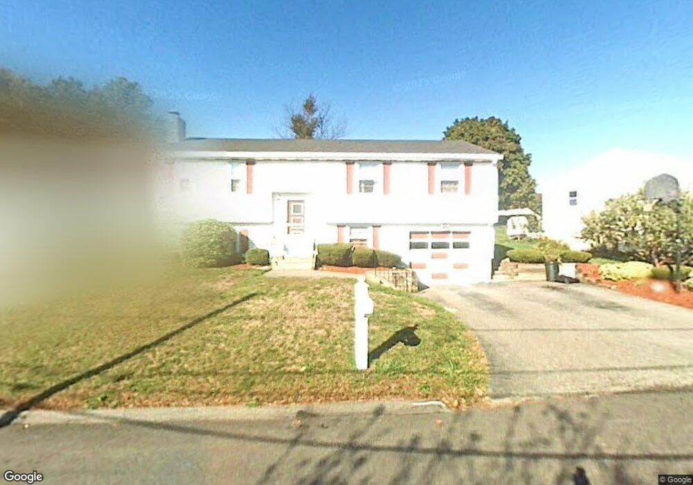
72 Phillips Cir Waltham, MA 02452
North Waltham NeighborhoodEstimated Value: $731,000 - $917,000
3
Beds
2
Baths
1,577
Sq Ft
$522/Sq Ft
Est. Value
About This Home
This home is located at 72 Phillips Cir, Waltham, MA 02452 and is currently estimated at $822,607, approximately $521 per square foot. 72 Phillips Cir is a home located in Middlesex County with nearby schools including Northeast Elementary School, John F Kennedy Middle School, and Waltham Sr High School.
Ownership History
Date
Name
Owned For
Owner Type
Purchase Details
Closed on
May 8, 2024
Sold by
Vasquezi Patricia
Bought by
Vasquezi Ft and Vasquezi
Current Estimated Value
Purchase Details
Closed on
Jun 1, 1986
Bought by
Vasquezi Dennis and Vasquezi Patricia
Create a Home Valuation Report for This Property
The Home Valuation Report is an in-depth analysis detailing your home's value as well as a comparison with similar homes in the area
Home Values in the Area
Average Home Value in this Area
Purchase History
| Date | Buyer | Sale Price | Title Company |
|---|---|---|---|
| Vasquezi Ft | -- | None Available | |
| Vasquezi Ft | -- | None Available | |
| Vasquezi Dennis | $216,000 | -- |
Source: Public Records
Mortgage History
| Date | Status | Borrower | Loan Amount |
|---|---|---|---|
| Previous Owner | Vasquezi Dennis | $128,000 | |
| Previous Owner | Vasquezi Dennis | $180,000 | |
| Previous Owner | Vasquezi Dennis | $72,000 |
Source: Public Records
Tax History
| Year | Tax Paid | Tax Assessment Tax Assessment Total Assessment is a certain percentage of the fair market value that is determined by local assessors to be the total taxable value of land and additions on the property. | Land | Improvement |
|---|---|---|---|---|
| 2025 | $6,850 | $697,600 | $418,800 | $278,800 |
| 2024 | $6,496 | $673,900 | $399,200 | $274,700 |
| 2023 | $6,429 | $623,000 | $362,900 | $260,100 |
| 2022 | $6,747 | $605,700 | $355,700 | $250,000 |
| 2021 | $6,510 | $575,100 | $341,100 | $234,000 |
| 2020 | $6,323 | $529,100 | $319,400 | $209,700 |
| 2019 | $6,429 | $507,800 | $305,700 | $202,100 |
| 2018 | $5,601 | $444,200 | $283,100 | $161,100 |
| 2017 | $5,260 | $418,800 | $257,700 | $161,100 |
| 2016 | $4,993 | $407,900 | $246,800 | $161,100 |
| 2015 | $5,121 | $390,000 | $221,400 | $168,600 |
Source: Public Records
Map
Nearby Homes
- 100 Shirley Rd
- 43 Agassiz Ave
- 50 Moraine St
- 51 Harrington St Unit 51
- 43-43A Chandler St
- 40 Knowles Rd
- 918 Belmont St
- 49 Pierce Rd Unit 49
- 144-146 White St
- 314 Lexington St
- 78 Barbara Rd Unit 1
- 52 Hawthorne St Unit 1
- 38 Carey Ave Unit 3
- 38 Carey Ave Unit 6
- 133 Warren St Unit 3
- 32 Whitman Rd Unit 1-4
- 31 Warren St Unit B-1
- 21 Warren St Unit 2-4
- 194 Lexington St Unit 1
- 9 Henry St Unit 9
- 76 Phillips Cir
- 66 Phillips Cir
- 26 Tip Top Terrace
- 84 Phillips Cir
- 30 Tip Top Terrace
- 71 Phillips Cir
- 67 Phillips Cir
- 20 Tip Top Terrace
- 61 Phillips Cir
- 60 Phillips Cir
- 94 Phillips Cir
- 8 Shawmut Rd
- 54 Parkview Rd
- 49 Phillips Cir
- 46 Parkview Rd
- 34 Tip Top Terrace
- 30 Shawmut Rd
- 50 Phillips Cir
- 7 Phillips Cir
- 11 Phillips Cir
Your Personal Tour Guide
Ask me questions while you tour the home.