72 Port Tack Hilton Head Island, SC 29928
Palmetto Dunes NeighborhoodEstimated Value: $1,254,000 - $1,365,000
3
Beds
3
Baths
2,219
Sq Ft
$586/Sq Ft
Est. Value
About This Home
This home is located at 72 Port Tack, Hilton Head Island, SC 29928 and is currently estimated at $1,299,720, approximately $585 per square foot. 72 Port Tack is a home located in Beaufort County with nearby schools including Hilton Head Island Early Childhood Center, Hilton Head Island Elementary School, and Hilton Head Island Middle School.
Create a Home Valuation Report for This Property
The Home Valuation Report is an in-depth analysis detailing your home's value as well as a comparison with similar homes in the area
Home Values in the Area
Average Home Value in this Area
Tax History Compared to Growth
Tax History
| Year | Tax Paid | Tax Assessment Tax Assessment Total Assessment is a certain percentage of the fair market value that is determined by local assessors to be the total taxable value of land and additions on the property. | Land | Improvement |
|---|---|---|---|---|
| 2024 | $2,943 | $39,108 | $16,000 | $23,108 |
| 2023 | $2,974 | $39,108 | $16,000 | $23,108 |
| 2022 | $2,685 | $19,920 | $8,000 | $11,920 |
| 2021 | $2,753 | $19,920 | $8,000 | $11,920 |
| 2020 | $2,742 | $19,920 | $8,000 | $11,920 |
| 2019 | $2,576 | $19,920 | $8,000 | $11,920 |
| 2018 | $2,526 | $19,920 | $0 | $0 |
| 2017 | $3,026 | $23,500 | $0 | $0 |
| 2016 | $2,806 | $23,500 | $0 | $0 |
| 2014 | $2,439 | $23,500 | $0 | $0 |
Source: Public Records
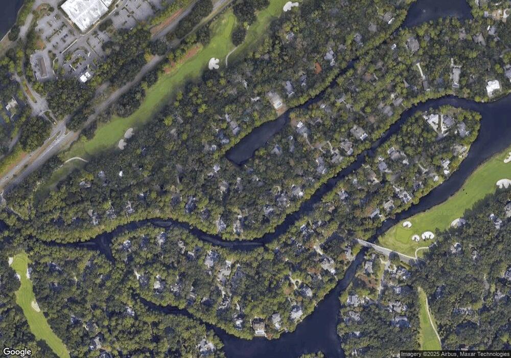
Map
Nearby Homes
- 50 Off Shore
- 37 Haul Away
- 7 Lee Shore
- 19 Shelter Cove Ln Unit 207
- 21 Haul Away Unit 15
- 5 Newport Dr Unit 2200
- 5 Newport Dr Unit 2105
- 5 Newport Dr Unit 7102
- 10 Newport Dr Unit 3302
- 13 Harbourside Ln Unit 7170
- 13 Harbourside Ln Unit 7165
- 13 Harbourside Ln Unit 7154
- 8 Off Shore
- 99 Mooring Buoy
- 3 Yard Arm
- 116 Mooring Buoy
- 20 Queens Folly Rd Unit 1782
- 20 Queens Folly Rd Unit 1667
- 20 Queens Folly Rd Unit 1981
- 20 Queens Folly Rd Unit 1661