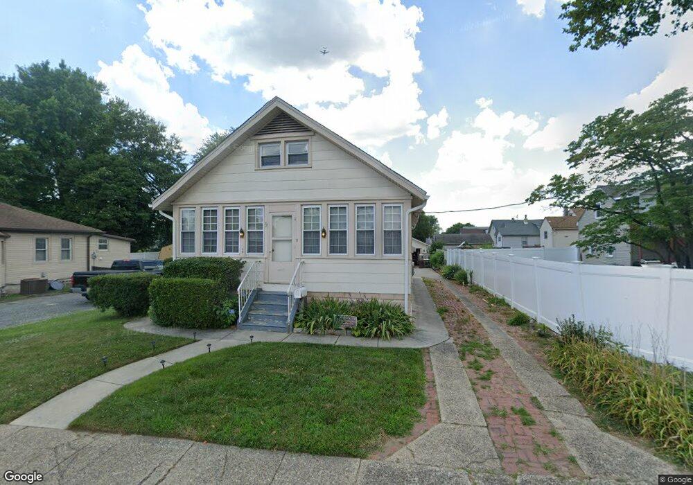
72 Princeton Ave Gloucester City, NJ 08030
Estimated Value: $251,773 - $287,000
2
Beds
1
Bath
1,056
Sq Ft
$248/Sq Ft
Est. Value
About This Home
This home is located at 72 Princeton Ave, Gloucester City, NJ 08030 and is currently estimated at $261,693, approximately $247 per square foot. 72 Princeton Ave is a home located in Camden County with nearby schools including Cold Springs School, Gloucester City Middle School, and Gloucester City Junior/Senior High School.
Ownership History
Date
Name
Owned For
Owner Type
Purchase Details
Closed on
Aug 27, 2009
Sold by
Trinkner Bradley J
Bought by
Carroll Joseph S
Current Estimated Value
Home Financials for this Owner
Home Financials are based on the most recent Mortgage that was taken out on this home.
Original Mortgage
$103,000
Outstanding Balance
$52,760
Interest Rate
5.36%
Mortgage Type
Purchase Money Mortgage
Estimated Equity
$208,933
Create a Home Valuation Report for This Property
The Home Valuation Report is an in-depth analysis detailing your home's value as well as a comparison with similar homes in the area
Home Values in the Area
Average Home Value in this Area
Purchase History
| Date | Buyer | Sale Price | Title Company |
|---|---|---|---|
| Carroll Joseph S | $147,000 | -- |
Source: Public Records
Mortgage History
| Date | Status | Borrower | Loan Amount |
|---|---|---|---|
| Open | Carroll Joseph S | $103,000 |
Source: Public Records
Tax History Compared to Growth
Tax History
| Year | Tax Paid | Tax Assessment Tax Assessment Total Assessment is a certain percentage of the fair market value that is determined by local assessors to be the total taxable value of land and additions on the property. | Land | Improvement |
|---|---|---|---|---|
| 2025 | $5,645 | $112,600 | $33,000 | $79,600 |
| 2024 | $5,635 | $112,600 | $33,000 | $79,600 |
| 2023 | $5,635 | $112,600 | $33,000 | $79,600 |
| 2022 | $5,298 | $112,600 | $33,000 | $79,600 |
| 2021 | $5,245 | $112,600 | $33,000 | $79,600 |
| 2020 | $5,065 | $112,600 | $33,000 | $79,600 |
| 2019 | $4,961 | $112,600 | $33,000 | $79,600 |
| 2018 | $4,864 | $112,600 | $33,000 | $79,600 |
| 2017 | $4,764 | $112,600 | $33,000 | $79,600 |
| 2016 | $4,584 | $112,600 | $33,000 | $79,600 |
| 2015 | $4,128 | $112,600 | $33,000 | $79,600 |
| 2014 | $4,108 | $78,300 | $20,800 | $57,500 |
Source: Public Records
Map
Nearby Homes
- 309 Nicholson Rd
- 1090 S Merrimac Rd
- 1072 S Merrimac Rd
- 1261 S Merrimac Rd
- 1300 S Merrimac Rd
- 322 Nicholson Rd
- 1316 S Merrimac Rd
- 1065 Ironside Rd
- 1029 Ironside Rd
- 1020 Niagara Rd
- 3079 Alabama Rd
- 3044 Fenwick Rd
- 3156 Alabama Rd
- 3204 Alabama Rd
- 213 Nicholson Rd
- 3120 S Constitution Rd
- 934 Mercer St
- 3044 N Merrimac Rd
- 607 N Johnson Blvd
- 1333 Argus Rd
- 206 Lehigh Ave
- 208 Lehigh Ave
- 66 Princeton Ave
- 80 Princeton Ave
- 214 Lehigh Ave
- 218 Lehigh Ave
- 64 Princeton Ave
- 58 Princeton Ave
- 69 Princeton Ave
- 73 Princeton Ave
- 128 Lehigh Ave
- 61 Princeton Ave
- 56 Princeton Ave
- 226 Lehigh Ave
- 63 Oxford Ave
- 219 Lehigh Ave
- 71 Oxford Ave
- 63 Princeton Ave
- 69 Oxford Ave
- 118 Lehigh Ave