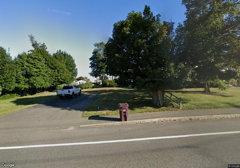
72 River St North Weymouth, MA 02191
North Weymouth NeighborhoodEstimated Value: $595,964 - $808,000
4
Beds
1
Bath
1,663
Sq Ft
$415/Sq Ft
Est. Value
About This Home
This home is located at 72 River St, North Weymouth, MA 02191 and is currently estimated at $689,741, approximately $414 per square foot. 72 River St is a home located in Norfolk County with nearby schools including Wessagusset Elementary School, Abigail Adams Middle School, and Weymouth Middle School Chapman.
Create a Home Valuation Report for This Property
The Home Valuation Report is an in-depth analysis detailing your home's value as well as a comparison with similar homes in the area
Home Values in the Area
Average Home Value in this Area
Tax History Compared to Growth
Tax History
| Year | Tax Paid | Tax Assessment Tax Assessment Total Assessment is a certain percentage of the fair market value that is determined by local assessors to be the total taxable value of land and additions on the property. | Land | Improvement |
|---|---|---|---|---|
| 2025 | $5,040 | $499,000 | $254,500 | $244,500 |
| 2024 | $4,882 | $475,400 | $242,400 | $233,000 |
| 2023 | $4,508 | $431,400 | $205,700 | $225,700 |
| 2022 | $4,514 | $393,900 | $199,200 | $194,700 |
| 2021 | $4,246 | $361,700 | $199,200 | $162,500 |
| 2020 | $4,317 | $362,200 | $216,500 | $145,700 |
| 2019 | $4,214 | $347,700 | $208,200 | $139,500 |
| 2018 | $4,094 | $327,500 | $198,200 | $129,300 |
| 2017 | $3,925 | $306,400 | $188,800 | $117,600 |
| 2016 | $3,772 | $294,700 | $181,600 | $113,100 |
| 2015 | $3,671 | $284,600 | $181,600 | $103,000 |
| 2014 | $3,518 | $264,500 | $169,000 | $95,500 |
Source: Public Records
Map
Nearby Homes
- 12 Wolcott St
- 16 Caldwell St
- 69 Great Hill Dr
- 61 Broad Reach Unit T62B
- 73 Broad Reach Unit T123C
- 73 Broad Reach Unit M33C
- 73 Broad Reach Unit T41C
- 51 Broad Reach Unit T23A
- 64 Broad Reach Unit 108
- 10 Shipyard Dr Unit 313
- 130 Broad Reach Unit 506
- 130 Broad Reach Unit 305
- 130 Broad Reach Unit 206
- 130 Broad Reach Unit 302
- 130 Broad Reach Unit 504
- 41 Pecksuot Rd
- 159 Wessagussett Rd
- 95 Fuller Rd
- 137 Wessagussett Rd
- 29 Wituwamat Rd
