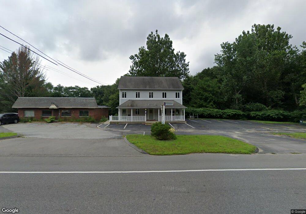
72 Route 32 North Franklin, CT 06254
Estimated Value: $523,090
Studio
3
Baths
2,400
Sq Ft
$218/Sq Ft
Est. Value
About This Home
This home is located at 72 Route 32, North Franklin, CT 06254 and is currently estimated at $523,090, approximately $217 per square foot. 72 Route 32 is a home located in New London County with nearby schools including Montessori Discovery School.
Ownership History
Date
Name
Owned For
Owner Type
Purchase Details
Closed on
Aug 12, 2004
Sold by
Sss Realty Ptnshp
Bought by
Pam Llc
Current Estimated Value
Home Financials for this Owner
Home Financials are based on the most recent Mortgage that was taken out on this home.
Original Mortgage
$250,000
Interest Rate
6%
Mortgage Type
Commercial
Create a Home Valuation Report for This Property
The Home Valuation Report is an in-depth analysis detailing your home's value as well as a comparison with similar homes in the area
Home Values in the Area
Average Home Value in this Area
Purchase History
| Date | Buyer | Sale Price | Title Company |
|---|---|---|---|
| Pam Llc | $285,000 | -- | |
| Pam Llc | $285,000 | -- |
Source: Public Records
Mortgage History
| Date | Status | Borrower | Loan Amount |
|---|---|---|---|
| Closed | Pam Llc | $167,000 | |
| Closed | Pam Llc | $20,000 | |
| Closed | Pam Llc | $250,000 |
Source: Public Records
Tax History
| Year | Tax Paid | Tax Assessment Tax Assessment Total Assessment is a certain percentage of the fair market value that is determined by local assessors to be the total taxable value of land and additions on the property. | Land | Improvement |
|---|---|---|---|---|
| 2025 | $9,666 | $454,860 | $145,740 | $309,120 |
| 2024 | $9,211 | $454,860 | $145,740 | $309,120 |
| 2023 | $6,305 | $274,510 | $180,020 | $94,490 |
| 2022 | $6,305 | $274,510 | $180,020 | $94,490 |
| 2021 | $6,305 | $274,510 | $180,020 | $94,490 |
| 2020 | $6,374 | $274,510 | $180,020 | $94,490 |
| 2019 | $6,511 | $274,510 | $180,020 | $94,490 |
| 2018 | $6,908 | $268,600 | $174,160 | $94,440 |
| 2017 | $6,774 | $268,600 | $174,160 | $94,440 |
| 2016 | $6,774 | $268,590 | $174,160 | $94,430 |
| 2015 | $6,640 | $268,590 | $174,160 | $94,430 |
| 2014 | $6,640 | $268,590 | $174,160 | $94,430 |
Source: Public Records
Map
Nearby Homes
- 0 Myrtle Dr
- 6 Elaine St
- 136 Norwich-Lebanon Rd
- 49 Forestview Dr
- 60 Connecticut Ave
- 230 Vergason Ave
- 137 Yantic Ln
- 228 Fitchville Rd
- 408 Fitchville Rd
- 243 Champion Rd
- 00 Plain Hill Rd
- 205 Browning Rd
- 47 Huntington Ave
- 12 Bayberry Hill Rd
- 60 Cedar Ln
- 240 Browning Rd
- 1 Grandview Ct
- 242 Browning Rd
- 26 Farm View Dr
- 14 Dalewood Dr
Your Personal Tour Guide
Ask me questions while you tour the home.