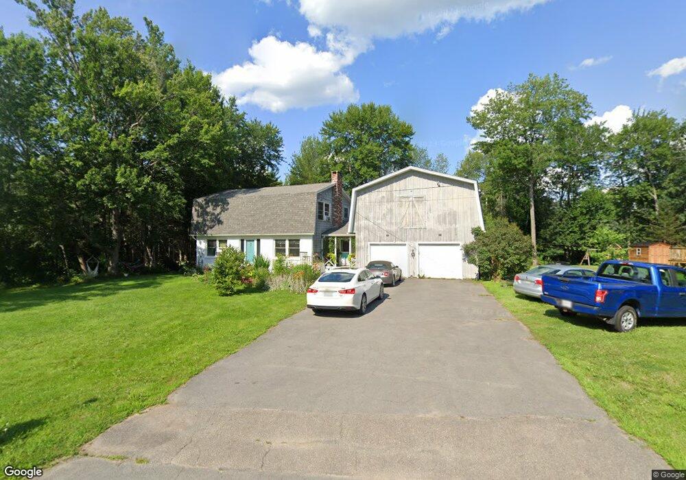
72 Ruth Ave Hampden, ME 04444
Estimated Value: $355,000 - $374,436
3
Beds
3
Baths
1,779
Sq Ft
$203/Sq Ft
Est. Value
About This Home
This home is located at 72 Ruth Ave, Hampden, ME 04444 and is currently estimated at $361,109, approximately $202 per square foot. 72 Ruth Ave is a home located in Penobscot County with nearby schools including North Star Christian School.
Ownership History
Date
Name
Owned For
Owner Type
Purchase Details
Closed on
Aug 2, 2024
Sold by
Nutt Matthew J
Bought by
Nutt Matthew J and Nutt Stephanie
Current Estimated Value
Home Financials for this Owner
Home Financials are based on the most recent Mortgage that was taken out on this home.
Original Mortgage
$215,000
Outstanding Balance
$212,562
Interest Rate
6.86%
Mortgage Type
Purchase Money Mortgage
Estimated Equity
$148,547
Create a Home Valuation Report for This Property
The Home Valuation Report is an in-depth analysis detailing your home's value as well as a comparison with similar homes in the area
Home Values in the Area
Average Home Value in this Area
Purchase History
| Date | Buyer | Sale Price | Title Company |
|---|---|---|---|
| Nutt Matthew J | -- | None Available | |
| Nutt Matthew J | -- | None Available |
Source: Public Records
Mortgage History
| Date | Status | Borrower | Loan Amount |
|---|---|---|---|
| Open | Nutt Matthew J | $215,000 | |
| Closed | Nutt Matthew J | $215,000 |
Source: Public Records
Tax History Compared to Growth
Tax History
| Year | Tax Paid | Tax Assessment Tax Assessment Total Assessment is a certain percentage of the fair market value that is determined by local assessors to be the total taxable value of land and additions on the property. | Land | Improvement |
|---|---|---|---|---|
| 2024 | $3,318 | $212,000 | $49,900 | $162,100 |
| 2023 | $3,342 | $173,600 | $40,800 | $132,800 |
| 2022 | $3,097 | $149,600 | $35,200 | $114,400 |
| 2021 | $3,097 | $149,600 | $35,200 | $114,400 |
| 2020 | $3,052 | $149,600 | $35,200 | $114,400 |
| 2019 | $2,970 | $145,600 | $34,200 | $111,400 |
| 2018 | $2,854 | $145,600 | $34,200 | $111,400 |
| 2017 | $2,679 | $145,600 | $34,200 | $111,400 |
| 2016 | $2,639 | $145,000 | $34,000 | $111,000 |
| 2015 | $2,538 | $145,000 | $34,000 | $111,000 |
| 2014 | $2,548 | $145,600 | $34,200 | $111,400 |
| 2013 | $2,424 | $145,600 | $34,200 | $111,400 |
Source: Public Records
Map
Nearby Homes
- 31 Jays Way
- 104 Main Trail
- 38 Main Trail
- 41 Stoneybrook Rd
- 73 Papermill Rd
- 34 Stoneybrook Rd
- 24 Coldbrook Rd
- 45 Stearns Farm Rd
- 20 Coldbrook Rd
- 180 Main Rd N
- 0 Constitution
- 304 Main Rd N
- 314 Main Rd N
- 23 Carver Rd
- 12 Rowell Rd
- 10 Independence Ave
- 69 Cottage St
- 164 Mayo Rd
- 338 Western Ave
- 99 Old County Rd