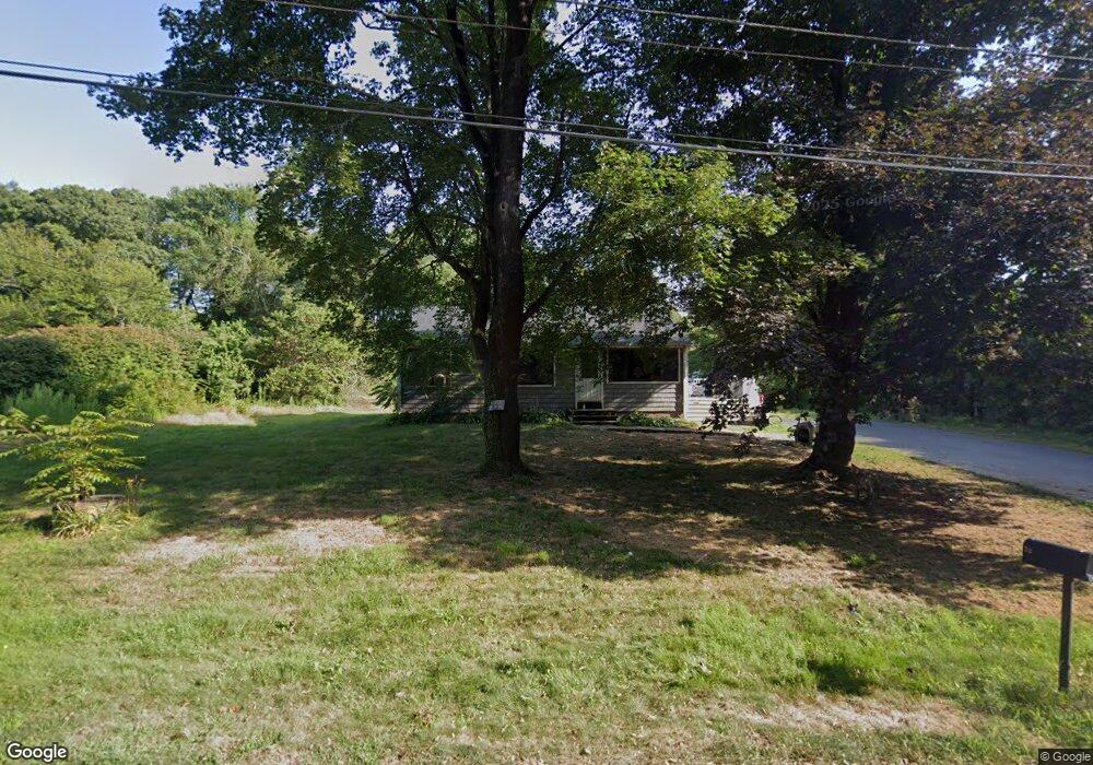
72 Samuel Rodman St Wakefield, RI 02879
Estimated Value: $403,000 - $459,000
3
Beds
1
Bath
864
Sq Ft
$500/Sq Ft
Est. Value
About This Home
This home is located at 72 Samuel Rodman St, Wakefield, RI 02879 and is currently estimated at $431,832, approximately $499 per square foot. 72 Samuel Rodman St is a home located in Washington County with nearby schools including South Kingstown High School, Monsignor Matthew Clarke Catholic Regional School, and South Shore School.
Ownership History
Date
Name
Owned For
Owner Type
Purchase Details
Closed on
Jul 30, 2021
Sold by
Rounseville Marshall
Bought by
Rounseville Marshall and Driver Paasheshau
Current Estimated Value
Purchase Details
Closed on
Jun 15, 2021
Sold by
Chester H Rounseville T
Bought by
Rounseville Marshall
Purchase Details
Closed on
Feb 24, 2021
Sold by
Rounseville Chester H
Bought by
C H Rounseville Jr T
Create a Home Valuation Report for This Property
The Home Valuation Report is an in-depth analysis detailing your home's value as well as a comparison with similar homes in the area
Home Values in the Area
Average Home Value in this Area
Purchase History
| Date | Buyer | Sale Price | Title Company |
|---|---|---|---|
| Rounseville Marshall | -- | None Available | |
| Rounseville Marshall | -- | None Available | |
| C H Rounseville Jr T | -- | None Available |
Source: Public Records
Tax History Compared to Growth
Tax History
| Year | Tax Paid | Tax Assessment Tax Assessment Total Assessment is a certain percentage of the fair market value that is determined by local assessors to be the total taxable value of land and additions on the property. | Land | Improvement |
|---|---|---|---|---|
| 2025 | $3,156 | $353,000 | $176,800 | $176,200 |
| 2024 | $3,070 | $277,800 | $136,000 | $141,800 |
| 2023 | $3,070 | $277,800 | $136,000 | $141,800 |
| 2022 | $3,042 | $277,800 | $136,000 | $141,800 |
| 2021 | $3,192 | $220,900 | $118,200 | $102,700 |
| 2020 | $3,192 | $220,900 | $118,200 | $102,700 |
| 2019 | $3,192 | $220,900 | $118,200 | $102,700 |
| 2018 | $3,109 | $198,300 | $110,000 | $88,300 |
| 2017 | $3,036 | $198,300 | $110,000 | $88,300 |
| 2016 | $2,992 | $198,300 | $110,000 | $88,300 |
| 2015 | $3,031 | $195,300 | $107,300 | $88,000 |
| 2014 | $3,023 | $195,300 | $107,300 | $88,000 |
Source: Public Records
Map
Nearby Homes
- 53 Rocky Brook Way
- 1810 Kingstown Rd
- 0 Vespia Dr Unit 1317499
- 42 Vespia Ln
- 14 Vespia Ln Unit B
- 50 Vespia Ln
- 54 Vespia Ln
- 58 Vespia Ln
- 957 Saugatucket Rd
- 228 Rodman St
- 918 Saugatucket Rd
- 128 North Rd
- 17 Celestial Heights Dr
- 3 Larkin St
- 128 Rodman St
- 48 Stone Bridge Dr
- 222 Windmill Dr
- 294 Rose Hill Rd
- 507 Curtis Corner Rd
- 40 Amos St
- 58 Samuel Rodman St
- 84 Samuel Rodman St
- 48 Samuel Rodman St
- 83 Birchwood Dr
- 87 Birchwood Dr
- 77 Birchwood Dr
- 45 Samuel Rodman St
- 32 Samuel Rodman St
- 0 Samuel Rodman St
- 93 Birchwood Dr
- 71 Birchwood Dr
- 31 Samuel Rodman St
- 26 Samuel Rodman St
- 76 Birchwood Dr
- 103 Birchwood Dr
- 96 Birchwood Dr
- 20 Samuel Rodman St
- 59 Birchwood Dr
- 58 Birchwood Dr
- 115 Birchwood Dr