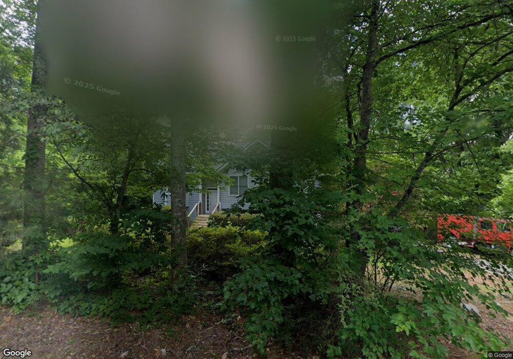
72 Sentry Dr SE Cartersville, GA 30120
Estimated Value: $324,038 - $387,000
3
Beds
3
Baths
1,800
Sq Ft
$197/Sq Ft
Est. Value
About This Home
This home is located at 72 Sentry Dr SE, Cartersville, GA 30120 and is currently estimated at $355,010, approximately $197 per square foot. 72 Sentry Dr SE is a home located in Bartow County with nearby schools including Kingston Elementary School, Cass Middle School, and Cass High School.
Ownership History
Date
Name
Owned For
Owner Type
Purchase Details
Closed on
Mar 13, 2008
Sold by
Fennell William Daniel
Bought by
Fennell Zia Mae
Current Estimated Value
Purchase Details
Closed on
May 10, 2006
Sold by
Stapleton Matthew M
Bought by
Fennell Zia M
Home Financials for this Owner
Home Financials are based on the most recent Mortgage that was taken out on this home.
Original Mortgage
$157,680
Interest Rate
6.41%
Mortgage Type
New Conventional
Create a Home Valuation Report for This Property
The Home Valuation Report is an in-depth analysis detailing your home's value as well as a comparison with similar homes in the area
Home Values in the Area
Average Home Value in this Area
Purchase History
| Date | Buyer | Sale Price | Title Company |
|---|---|---|---|
| Fennell Zia Mae | -- | -- | |
| Fennell Zia M | $160,200 | -- |
Source: Public Records
Mortgage History
| Date | Status | Borrower | Loan Amount |
|---|---|---|---|
| Previous Owner | Fennell Zia M | $157,680 |
Source: Public Records
Tax History Compared to Growth
Tax History
| Year | Tax Paid | Tax Assessment Tax Assessment Total Assessment is a certain percentage of the fair market value that is determined by local assessors to be the total taxable value of land and additions on the property. | Land | Improvement |
|---|---|---|---|---|
| 2024 | $2,851 | $123,732 | $22,400 | $101,332 |
| 2023 | $2,851 | $124,148 | $22,400 | $101,748 |
| 2022 | $2,034 | $86,677 | $14,000 | $72,677 |
| 2021 | $1,891 | $77,494 | $14,000 | $63,494 |
| 2020 | $1,991 | $77,494 | $14,000 | $63,494 |
| 2019 | $1,567 | $61,434 | $12,000 | $49,434 |
| 2018 | $1,682 | $60,380 | $12,000 | $48,380 |
| 2017 | $1,751 | $62,520 | $10,000 | $52,520 |
| 2016 | $1,764 | $62,520 | $10,000 | $52,520 |
| 2015 | $1,604 | $56,760 | $10,000 | $46,760 |
| 2014 | $1,690 | $57,920 | $10,000 | $47,920 |
| 2013 | -- | $47,720 | $7,200 | $40,520 |
Source: Public Records
Map
Nearby Homes
- 273 Burnt Hickory Rd SE
- 261 Jordan Rd SE
- 102 Burnt Hickory Rd SW Unit Tract 2
- 1771 Joe Frank Harris Pkwy SE
- 305 Burnt Hickory Rd SE
- 0 Mac Johnson Rd NW Unit 7616934
- 46 Mac Johnson Rd NW
- 24 Franklin Dr
- 12 Franklin Dr
- 39 Twin Oaks Ln SW
- 0 Joe Frank Harris Pkwy SE Unit 7284313
- 30 Amberidge Dr NW
- 354 Oakridge Dr SE
- 11 Meadow View Cir
- 383 Oakridge Dr SE
- 337 Mac Johnson Rd NW
- 188 Mac Johnson Rd NW
- 251 Mac Johnson Rd NW
- 109 Amberidge Dr NW
- 11 Lantern Cir SE
- 74 Sentry Dr SE
- 59 Sentry Dr SE
- 71 Sentry Dr SE
- 0 Sentry Dr SE Unit 7134682
- 0 Sentry Dr SE
- 51 Sentry Dr SE
- 51 Sentry Dr SE
- 75 Sentry Dr SE
- 0 Lantern Cir SE
- 0 Lantern Cir SE Unit 8120575
- 65 Sentry Dr SE
- 6 Lantern Cir SE
- 45 Sentry Dr SE
- 26 Lantern Cir SE
- 14 Lantern Cir SE
- 37 Sentry Dr SE
- 18 Lantern Cir SE
- 22 Lantern Cir SE
- 209 Burnt Hickory Rd SE