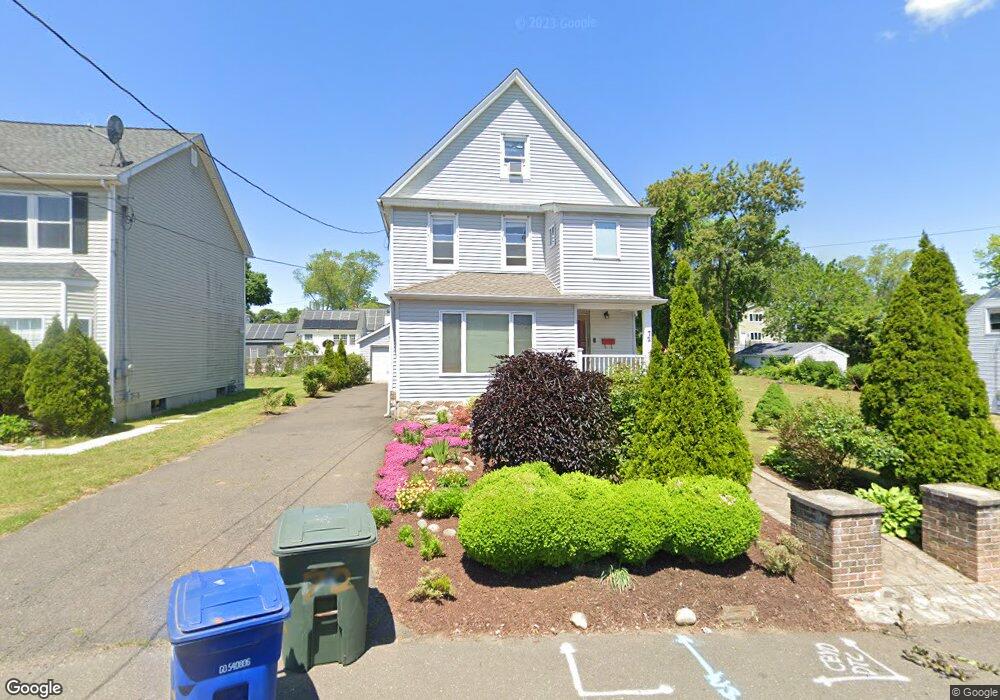
72 Sidney St Bridgeport, CT 06606
Brooklawn-Saint Vincent NeighborhoodEstimated Value: $479,000 - $532,000
3
Beds
1
Bath
2,627
Sq Ft
$189/Sq Ft
Est. Value
About This Home
This home is located at 72 Sidney St, Bridgeport, CT 06606 and is currently estimated at $497,173, approximately $189 per square foot. 72 Sidney St is a home located in Fairfield County with nearby schools including Madison School, Central High School, and Catholic Academy of Bridgeport-St. Raphael Academy.
Ownership History
Date
Name
Owned For
Owner Type
Purchase Details
Closed on
Jun 1, 2009
Sold by
Us Bank Na
Bought by
Foster Racquel
Current Estimated Value
Purchase Details
Closed on
Aug 23, 1999
Sold by
Guice Mary M Est
Bought by
Cristino Joseph A and Cristino Lois A
Create a Home Valuation Report for This Property
The Home Valuation Report is an in-depth analysis detailing your home's value as well as a comparison with similar homes in the area
Home Values in the Area
Average Home Value in this Area
Purchase History
| Date | Buyer | Sale Price | Title Company |
|---|---|---|---|
| Foster Racquel | $97,000 | -- | |
| Foster Racquel | $97,000 | -- | |
| Cristino Joseph A | $103,000 | -- | |
| Cristino Joseph A | $103,000 | -- |
Source: Public Records
Mortgage History
| Date | Status | Borrower | Loan Amount |
|---|---|---|---|
| Open | Cristino Joseph A | $124,000 | |
| Closed | Cristino Joseph A | $125,000 |
Source: Public Records
Tax History
| Year | Tax Paid | Tax Assessment Tax Assessment Total Assessment is a certain percentage of the fair market value that is determined by local assessors to be the total taxable value of land and additions on the property. | Land | Improvement |
|---|---|---|---|---|
| 2025 | $8,309 | $191,240 | $84,270 | $106,970 |
| 2024 | $8,309 | $191,240 | $84,270 | $106,970 |
| 2023 | $8,309 | $191,240 | $84,270 | $106,970 |
| 2022 | $8,309 | $191,240 | $84,270 | $106,970 |
| 2021 | $8,309 | $191,240 | $84,270 | $106,970 |
| 2020 | $7,299 | $135,190 | $44,000 | $91,190 |
| 2019 | $7,299 | $135,190 | $44,000 | $91,190 |
| 2018 | $7,350 | $135,190 | $44,000 | $91,190 |
| 2017 | $7,350 | $135,190 | $44,000 | $91,190 |
| 2016 | $7,350 | $135,190 | $44,000 | $91,190 |
| 2015 | $7,551 | $178,930 | $53,210 | $125,720 |
| 2014 | $7,551 | $178,930 | $53,210 | $125,720 |
Source: Public Records
Map
Nearby Homes
- 95 Alexander Ave
- 85-89 Alexander Dr
- 125-127 Alexander Dr
- 105 Tremont Ave Unit E
- 254 Wayne St
- 123 Harlem Ave
- 125 Garden Dr
- 631 Fairview Ave
- 671 Fairview Ave
- 74 Harlem Ave
- 405 Westfield Ave
- 708 Capitol Ave Unit 710
- 525 Westfield Ave
- 92 Lincoln Ave
- 248 Salem St
- 2625 Park Ave Unit 9R
- 2625 Park Ave Unit 4F
- 2675 Park Ave Unit 26
- 26 Marsdale Ave
- 234 Savoy St
Your Personal Tour Guide
Ask me questions while you tour the home.