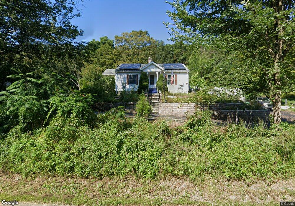
72 Southbridge Rd Charlton, MA 01507
Estimated Value: $350,000 - $366,000
3
Beds
1
Bath
1,162
Sq Ft
$307/Sq Ft
Est. Value
About This Home
This home is located at 72 Southbridge Rd, Charlton, MA 01507 and is currently estimated at $356,961, approximately $307 per square foot. 72 Southbridge Rd is a home located in Worcester County with nearby schools including Shepherd Hill Regional High School and Trinity Catholic Academy.
Ownership History
Date
Name
Owned For
Owner Type
Purchase Details
Closed on
Apr 20, 1990
Sold by
Laplume Claude R
Bought by
Poulin Luc G
Current Estimated Value
Home Financials for this Owner
Home Financials are based on the most recent Mortgage that was taken out on this home.
Original Mortgage
$107,350
Interest Rate
10.21%
Mortgage Type
Purchase Money Mortgage
Create a Home Valuation Report for This Property
The Home Valuation Report is an in-depth analysis detailing your home's value as well as a comparison with similar homes in the area
Home Values in the Area
Average Home Value in this Area
Purchase History
| Date | Buyer | Sale Price | Title Company |
|---|---|---|---|
| Poulin Luc G | $113,000 | -- | |
| Poulin Luc G | $113,000 | -- |
Source: Public Records
Mortgage History
| Date | Status | Borrower | Loan Amount |
|---|---|---|---|
| Open | Poulin Luc G | $126,400 | |
| Closed | Poulin Luc G | $118,800 | |
| Closed | Poulin Luc G | $107,350 |
Source: Public Records
Tax History Compared to Growth
Tax History
| Year | Tax Paid | Tax Assessment Tax Assessment Total Assessment is a certain percentage of the fair market value that is determined by local assessors to be the total taxable value of land and additions on the property. | Land | Improvement |
|---|---|---|---|---|
| 2025 | $3,341 | $300,200 | $75,500 | $224,700 |
| 2024 | $3,193 | $281,600 | $72,700 | $208,900 |
| 2023 | $3,008 | $247,200 | $69,900 | $177,300 |
| 2022 | $2,873 | $216,200 | $68,700 | $147,500 |
| 2021 | $3,213 | $194,000 | $67,100 | $126,900 |
| 2020 | $2,815 | $188,400 | $61,500 | $126,900 |
| 2019 | $2,783 | $188,400 | $61,500 | $126,900 |
| 2018 | $2,763 | $188,400 | $61,500 | $126,900 |
| 2017 | $2,266 | $160,700 | $55,900 | $104,800 |
| 2016 | $2,214 | $160,700 | $55,900 | $104,800 |
| 2015 | $2,157 | $160,700 | $55,900 | $104,800 |
| 2014 | $2,117 | $167,200 | $63,200 | $104,000 |
Source: Public Records
Map
Nearby Homes
- 57 Carpenter Hill Rd
- 28 Southbridge Rd Unit 402
- 6 S Sullivan Rd
- 68 - 74 Sturbridge Rd
- 0 Worcester Rd
- 5 Carpenter Hill Rd
- 0 Trolley Crossing Rd
- 38 N Sullivan Rd
- Lot 3 0 N Sullivan Rd
- Lot 6 0 N Sullivan Rd
- Lot 5 0 N Sullivan Rd
- Lot 4 0 N Sullivan Rd
- 86 Berry Corner Rd
- 91 Burlingame Rd
- 102 Worcester Rd
- 38 Stevens Park Rd
- 10 Harrington Rd
- 7 L Stevens Rd Unit A
- 7 L Stevens Rd Unit B
- 29, 31, 33 Ladd Rd
- 74 Southbridge Rd
- 68 Southbridge Rd
- 76 Southbridge Rd
- 66 Southbridge Rd
- 64 Southbridge Rd
- 84 Southbridge Rd
- 62 Southbridge Rd
- 88 Southbridge Rd
- 54 Southbridge Rd
- 54 Southbridge Rd Unit 1
- 78 Southbridge Rd
- 92 Southbridge Rd
- 91 Southbridge Rd
- 93 Southbridge Rd
- 98 Southbridge Rd
- 98 Southbridge Rd Unit 1
- 39 Southbridge Rd
- 31 Southbridge Rd
- 31 Southbridge Rd
- 31 Southbridge Rd Unit 1