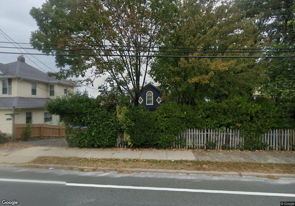
72 State Route 36 Highlands, NJ 07732
Estimated Value: $876,000 - $1,027,000
3
Beds
2
Baths
1,765
Sq Ft
$550/Sq Ft
Est. Value
About This Home
This home is located at 72 State Route 36, Highlands, NJ 07732 and is currently estimated at $971,134, approximately $550 per square foot. 72 State Route 36 is a home located in Monmouth County with nearby schools including Highlands Elementary School, Henry Hudson Regional School, and Holy Cross School.
Ownership History
Date
Name
Owned For
Owner Type
Purchase Details
Closed on
Mar 2, 2016
Sold by
Savnik Gerard and Savnik Elise
Bought by
King Seth and King Gale Mayron
Current Estimated Value
Purchase Details
Closed on
Jun 3, 2008
Sold by
Thompson Karol and Aumann Ursula
Bought by
Savnik Gerard and Savnik Elise
Home Financials for this Owner
Home Financials are based on the most recent Mortgage that was taken out on this home.
Original Mortgage
$310,000
Interest Rate
6.11%
Mortgage Type
Purchase Money Mortgage
Purchase Details
Closed on
Mar 27, 1997
Sold by
Mitrano Michael
Bought by
Thompson Karol and Aumann Ursual
Home Financials for this Owner
Home Financials are based on the most recent Mortgage that was taken out on this home.
Original Mortgage
$115,000
Interest Rate
7.55%
Purchase Details
Closed on
Sep 3, 1993
Sold by
Estate Of Henry Massingham
Bought by
Mitrano Michael
Home Financials for this Owner
Home Financials are based on the most recent Mortgage that was taken out on this home.
Original Mortgage
$60,000
Interest Rate
7.21%
Create a Home Valuation Report for This Property
The Home Valuation Report is an in-depth analysis detailing your home's value as well as a comparison with similar homes in the area
Home Values in the Area
Average Home Value in this Area
Purchase History
| Date | Buyer | Sale Price | Title Company |
|---|---|---|---|
| King Seth | $575,000 | None Available | |
| Savnik Gerard | $685,000 | First American Title Ins Co | |
| Thompson Karol | $162,500 | -- | |
| Mitrano Michael | $110,000 | -- |
Source: Public Records
Mortgage History
| Date | Status | Borrower | Loan Amount |
|---|---|---|---|
| Previous Owner | Savnik Gerard | $310,000 | |
| Previous Owner | Thompson Karol | $115,000 | |
| Previous Owner | Mitrano Michael | $60,000 |
Source: Public Records
Tax History Compared to Growth
Tax History
| Year | Tax Paid | Tax Assessment Tax Assessment Total Assessment is a certain percentage of the fair market value that is determined by local assessors to be the total taxable value of land and additions on the property. | Land | Improvement |
|---|---|---|---|---|
| 2025 | $14,208 | $785,500 | $509,900 | $275,600 |
| 2024 | $13,107 | $717,600 | $446,500 | $271,100 |
| 2023 | $13,107 | $653,400 | $388,600 | $264,800 |
| 2022 | $11,767 | $526,800 | $289,600 | $237,200 |
| 2021 | $11,767 | $474,300 | $263,200 | $211,100 |
| 2020 | $11,662 | $469,500 | $263,200 | $206,300 |
| 2019 | $12,407 | $439,200 | $263,200 | $176,000 |
| 2018 | $11,822 | $421,900 | $263,200 | $158,700 |
| 2017 | $11,864 | $421,900 | $263,200 | $158,700 |
| 2016 | $11,674 | $421,900 | $263,200 | $158,700 |
| 2015 | $11,742 | $420,100 | $263,200 | $156,900 |
| 2014 | $10,970 | $406,600 | $263,200 | $143,400 |
Source: Public Records
Map
Nearby Homes
- 75 Highland Ave
- 115 Navesink Ave
- 59 Bay Ave
- D3 Twin Light Terrace Unit D3
- 25 Shrewsbury Ave
- 1 Portland Rd Unit 8
- 22 Shrewsbury Ave
- 85 Valley Ave
- 30 Portland Rd Unit B-14
- 10 5th St
- 35 4th St
- 94 Valley Ave
- E4 Hillside Ct
- 72 4th St
- 137 Marina Bay Ct
- 86 Seadrift Ave
- 118 Marina Bay Ct
- 114 Marina Bay Ct
- 297 Shore Dr
- 28 Coquette Ln
- 72 Navesink Ave
- 57 Shore Dr
- 66 State Route 36
- 78 Navesink Ave
- 78 Navesink Ave
- 56 Navesink Ave
- 84 State Route 36
- 84 Navesink Ave
- 58 Navesink Ave
- 54 State Route 36
- 88 Navesink Ave
- 38 North St
- 88 State Route 36
- 77 Navesink Ave
- 92 Navesink Ave
- 73 State Route 36
- 77 Navesink Ave
- 92 State Route 36
- 92 Navesink Ave
- 71 State Route 36