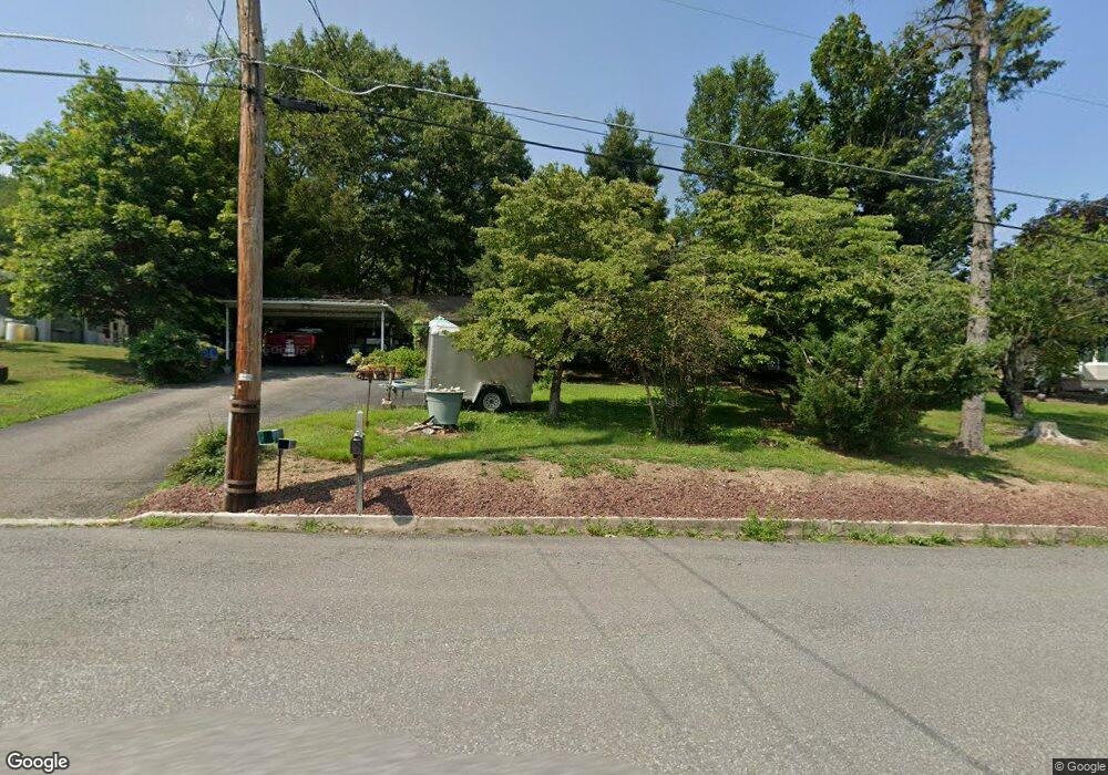
72 Todd Ln Lehighton, PA 18235
Estimated Value: $204,000 - $362,000
3
Beds
1
Bath
1,152
Sq Ft
$235/Sq Ft
Est. Value
About This Home
This home is located at 72 Todd Ln, Lehighton, PA 18235 and is currently estimated at $270,935, approximately $235 per square foot. 72 Todd Ln is a home located in Carbon County with nearby schools including Lehighton Area High School, Sts. Peter & Paul School, and Valley Ridge Academy.
Ownership History
Date
Name
Owned For
Owner Type
Purchase Details
Closed on
Sep 20, 2024
Sold by
Hontz David E
Bought by
Hontz David E
Current Estimated Value
Home Financials for this Owner
Home Financials are based on the most recent Mortgage that was taken out on this home.
Original Mortgage
$25,000
Outstanding Balance
$24,368
Interest Rate
6.47%
Mortgage Type
New Conventional
Estimated Equity
$246,567
Create a Home Valuation Report for This Property
The Home Valuation Report is an in-depth analysis detailing your home's value as well as a comparison with similar homes in the area
Home Values in the Area
Average Home Value in this Area
Purchase History
| Date | Buyer | Sale Price | Title Company |
|---|---|---|---|
| Hontz David E | -- | Northeast Settlement Services |
Source: Public Records
Mortgage History
| Date | Status | Borrower | Loan Amount |
|---|---|---|---|
| Open | Hontz David E | $25,000 |
Source: Public Records
Tax History Compared to Growth
Tax History
| Year | Tax Paid | Tax Assessment Tax Assessment Total Assessment is a certain percentage of the fair market value that is determined by local assessors to be the total taxable value of land and additions on the property. | Land | Improvement |
|---|---|---|---|---|
| 2025 | $3,944 | $51,550 | $8,300 | $43,250 |
| 2024 | $3,790 | $51,550 | $8,300 | $43,250 |
| 2023 | $3,751 | $51,550 | $8,300 | $43,250 |
| 2022 | $3,700 | $51,550 | $8,300 | $43,250 |
| 2021 | $3,590 | $51,550 | $8,300 | $43,250 |
| 2020 | $3,499 | $51,550 | $8,300 | $43,250 |
| 2019 | $3,319 | $51,550 | $8,300 | $43,250 |
| 2018 | $3,280 | $51,550 | $8,300 | $43,250 |
| 2017 | $3,280 | $51,550 | $8,300 | $43,250 |
| 2016 | -- | $51,550 | $8,300 | $43,250 |
| 2015 | -- | $51,550 | $8,300 | $43,250 |
| 2014 | -- | $51,550 | $8,300 | $43,250 |
Source: Public Records
Map
Nearby Homes
- 70 W Highland Ln
- 17 Mahoning Dr E
- 0 Emily Plan at Summit Point Unit PACC2005480
- 0 Copper Beech Plan at Summit Ridge Unit PACC2005478
- 0 Black Cherry Plan at Summit Ridge Unit PACC2005474
- 0 Ridge
- 0 Pine Hollow Unit PACC2006556
- 410 S 8th St
- 639 Iron St
- 0 Pine Hollow Dr Unit PACC2006714
- 0 Pine Hollow Dr Unit PM-135085
- 0 Pine Hollow Dr Unit 763487
- 470 N 8th St
- 522 Iron St
- 0 Fredericks Grove Rd Unit 691615
- 193 S 4th St
- 193 S 4th St Unit 191-193
- 117 N 4th St
- 196 S 3rd St
- 15 Robert Henry Cir
- 52 Todd Ln
- 90 Todd Ln
- 36 Todd Ln
- 79 Todd Ln
- 61 Todd Ln
- 83 Birchwood Dr
- 99 Todd Ln
- 45 Todd Ln
- 124 Todd Ln
- 183 Mahoning Heights Rd
- 119 Todd Ln
- 133 Mahoning Heights Rd
- 139 Todd Ln
- 97 Mahoning Heights Rd
- 116 Birchwood Dr
- 249 Mahoning Heights Rd
- 162 Mahoning Heights Rd
- 65 Orchard Rd
- 0 Birchwood Dr Unit PM-63833
- 0 Birchwood Dr