72 Tsali Trail Murphy, NC 28906
Estimated Value: $441,000 - $858,060
3
Beds
3
Baths
3,857
Sq Ft
$160/Sq Ft
Est. Value
About This Home
This home is located at 72 Tsali Trail, Murphy, NC 28906 and is currently estimated at $618,687, approximately $160 per square foot. 72 Tsali Trail is a home with nearby schools including Martins Creek Elementary/Middle School and Murphy High School.
Ownership History
Date
Name
Owned For
Owner Type
Purchase Details
Closed on
Feb 24, 2020
Sold by
Jerry And Diane Hudson Llc
Bought by
Hudson Jerry L and Hudson Diane M
Current Estimated Value
Home Financials for this Owner
Home Financials are based on the most recent Mortgage that was taken out on this home.
Original Mortgage
$327,500
Outstanding Balance
$225,643
Interest Rate
3.6%
Mortgage Type
New Conventional
Estimated Equity
$393,044
Purchase Details
Closed on
Mar 6, 2006
Sold by
Bel Moc Properties Llc
Bought by
Hudson Jerry and Hudson Diane
Create a Home Valuation Report for This Property
The Home Valuation Report is an in-depth analysis detailing your home's value as well as a comparison with similar homes in the area
Home Values in the Area
Average Home Value in this Area
Purchase History
We collect this data history from publicly available records. To have your information removed, we recommend requesting removal directly through your county’s website.
| Date | Buyer | Sale Price | Title Company |
|---|---|---|---|
| Hudson Jerry L | -- | None Available | |
| Hudson Jerry | $119,000 | -- |
Source: Public Records
Mortgage History
We collect this data history from publicly available records. To have your information removed, we recommend requesting removal directly through your county’s website.
| Date | Status | Borrower | Loan Amount |
|---|---|---|---|
| Open | Hudson Jerry L | $327,500 |
Source: Public Records
Tax History
| Year | Tax Paid | Tax Assessment Tax Assessment Total Assessment is a certain percentage of the fair market value that is determined by local assessors to be the total taxable value of land and additions on the property. | Land | Improvement |
|---|---|---|---|---|
| 2025 | $3,815 | $566,030 | $0 | $0 |
| 2024 | $38 | $566,030 | $0 | $0 |
| 2023 | $3,805 | $566,030 | $0 | $0 |
| 2022 | $3,805 | $566,030 | $0 | $0 |
| 2021 | $3,183 | $566,030 | $39,530 | $526,500 |
| 2020 | $2,956 | $566,030 | $0 | $0 |
| 2019 | $2,337 | $394,100 | $0 | $0 |
| 2018 | $2,337 | $394,100 | $0 | $0 |
| 2017 | $2,337 | $394,100 | $0 | $0 |
| 2016 | $2,337 | $394,100 | $0 | $0 |
| 2015 | $2,337 | $394,100 | $39,250 | $354,850 |
| 2012 | -- | $394,100 | $39,250 | $354,850 |
Source: Public Records
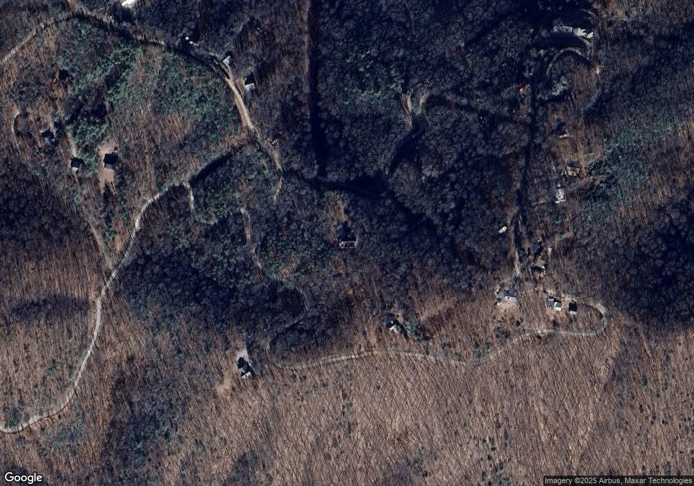
Map
Nearby Homes
- 1473 Cherokee Mountain Trail
- Lot 4 Hamptons Knob
- 3410 Moccasin Creek Rd
- 818 Five Forks Dr
- 821 Point Overlook Trail
- 99 Old Possum Way
- 455 Point Overlook Trail
- Lot 34 Point Overlook Trail
- 339 Game Trail Dr
- 12 Chastain Rd
- 79 Forest Edge Dr
- LOT25 Laurel Mountain Dr
- Lot 16 Laurel Mountain Dr
- Lot 11 Laurel Mountain Dr
- 113 Justa Rd
- 1327 Highland Trace
- 195 Justa Rd
- 83 Noelles Pass
- #103 Heritage Trail
- TBD Heritage Trail
- 177 Tsali Trail
- 19 Tsali Trail
- 200 Tsali Trail
- 26 Beaver Gap Rd
- 42 Sumac Trail
- 31 Beaver Gap Rd
- 31 Beaver Gap Rd Unit 31
- 20 Sumac Trail
- 1729 Sumac Trail
- 155 Indian Gap Rd
- 1779 Cherokee Mountain Trail
- 1310 Cherokee Mountain Trail
- 1310 Cherokee Mountain Trail
- 1701 Cherokee Mountain Trail
- 1701 Cherokee Mountain Trail
- 216 Tsali Trail
- 60 Beaver Gap Rd
- 1728 Cherokee Mountain Trail
- 22 Apple Orchard Rd
- LT22 Sequoyah
Your Personal Tour Guide
Ask me questions while you tour the home.