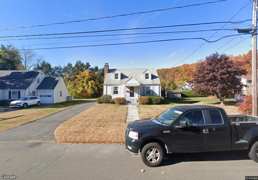
72 Tunxis St New Britain, CT 06053
Estimated Value: $274,418 - $338,000
3
Beds
1
Bath
1,260
Sq Ft
$235/Sq Ft
Est. Value
About This Home
This home is located at 72 Tunxis St, New Britain, CT 06053 and is currently estimated at $295,605, approximately $234 per square foot. 72 Tunxis St is a home located in Hartford County with nearby schools including Holmes School, Pulaski Middle School, and Mountain Laurel Sudbury School.
Ownership History
Date
Name
Owned For
Owner Type
Purchase Details
Closed on
Feb 16, 2010
Sold by
Ustach Margaret M
Bought by
Ustach Margaret M and Ustach Ronald
Current Estimated Value
Purchase Details
Closed on
Dec 2, 1987
Sold by
Daglis Teddy J
Bought by
Ustach Margaret M
Home Financials for this Owner
Home Financials are based on the most recent Mortgage that was taken out on this home.
Original Mortgage
$116,000
Interest Rate
11.27%
Create a Home Valuation Report for This Property
The Home Valuation Report is an in-depth analysis detailing your home's value as well as a comparison with similar homes in the area
Home Values in the Area
Average Home Value in this Area
Purchase History
| Date | Buyer | Sale Price | Title Company |
|---|---|---|---|
| Ustach Margaret M | -- | -- | |
| Ustach Margaret M | $145,000 | -- |
Source: Public Records
Mortgage History
| Date | Status | Borrower | Loan Amount |
|---|---|---|---|
| Previous Owner | Ustach Margaret M | $156,001 | |
| Previous Owner | Ustach Margaret M | $114,000 | |
| Previous Owner | Ustach Margaret M | $116,000 |
Source: Public Records
Tax History Compared to Growth
Tax History
| Year | Tax Paid | Tax Assessment Tax Assessment Total Assessment is a certain percentage of the fair market value that is determined by local assessors to be the total taxable value of land and additions on the property. | Land | Improvement |
|---|---|---|---|---|
| 2025 | $5,971 | $152,390 | $61,250 | $91,140 |
| 2024 | $5,573 | $140,770 | $61,250 | $79,520 |
| 2023 | $5,389 | $140,770 | $61,250 | $79,520 |
| 2022 | $4,577 | $92,470 | $28,210 | $64,260 |
| 2021 | $4,577 | $92,470 | $28,210 | $64,260 |
| 2020 | $4,670 | $92,470 | $28,210 | $64,260 |
| 2019 | $4,670 | $92,470 | $28,210 | $64,260 |
| 2018 | $4,670 | $92,470 | $28,210 | $64,260 |
| 2017 | $4,193 | $83,020 | $25,760 | $57,260 |
| 2016 | $4,193 | $83,020 | $25,760 | $57,260 |
| 2015 | $4,068 | $83,020 | $25,760 | $57,260 |
| 2014 | $4,068 | $83,020 | $25,760 | $57,260 |
Source: Public Records
Map
Nearby Homes
- 258 Eddy Glover Blvd
- 34 Oneida St
- 335 Commonwealth Ave
- 394 Mcclintock St
- 108 Commonwealth Ave
- 53 Park Dr
- 83 Kim Dr
- 91 Brighton St
- 154 Allen St
- 290 Lawlor St
- 410 Farmington Ave Unit O6
- 67 Eastwick Rd
- 107 Allen St
- 426 Allen St
- 262 Tremont St
- 55 Allen St
- 148 Governor St
- 220 Lasalle St Unit B4
- 34 Concord St
- 152 Oakland Ave
- 66 Tunxis St
- 264 Eddy Glover Blvd
- 270 Eddy Glover Blvd
- 56 Tunxis St
- 65 Mohawk St
- 248 Eddy Glover Blvd
- 67 Tunxis St
- 71 Mohawk St
- 276 Eddy Glover Blvd
- 59 Mohawk St
- 50 Tunxis St
- 242 Eddy Glover Blvd
- 55 Tunxis St
- 282 Eddy Glover Blvd
- 53 Mohawk St
- 40 & 46 Tunxis St
- 51 Tunxis St
- 236 Eddy Glover Blvd
- 47 Mohawk St
- 40 Tunxis St