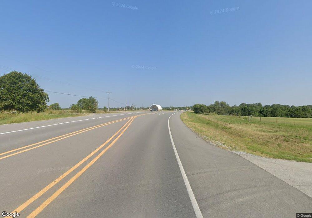
72 W Highway 72 Hwy Pea Ridge, AR 72751
Estimated Value: $339,000 - $376,000
--
Bed
--
Bath
3,283
Sq Ft
$109/Sq Ft
Est. Value
About This Home
This home is located at 72 W Highway 72 Hwy, Pea Ridge, AR 72751 and is currently estimated at $357,500, approximately $108 per square foot. 72 W Highway 72 Hwy is a home located in Benton County with nearby schools including Pea Ridge Intermediate School, Pea Ridge Primary School, and Pea Ridge Junior High School.
Ownership History
Date
Name
Owned For
Owner Type
Purchase Details
Closed on
Apr 3, 2023
Sold by
Neal Ricky and Neal Sheila A
Bought by
Vance & Jane C Arnold Family Trust and Arnold
Current Estimated Value
Purchase Details
Closed on
Aug 20, 2021
Sold by
Willis William and Willis Shelly R
Bought by
Neal Heath and Neal Megan
Home Financials for this Owner
Home Financials are based on the most recent Mortgage that was taken out on this home.
Original Mortgage
$501,000
Interest Rate
2.7%
Mortgage Type
VA
Purchase Details
Closed on
Aug 15, 2017
Sold by
Castor Kyle B and Castor Judy K
Bought by
Willis Shane and Willis Shelly K
Purchase Details
Closed on
Aug 8, 2017
Sold by
Warren David D and Warren Donna
Bought by
Willis Shane and Willis Shelly R
Purchase Details
Closed on
Aug 7, 2014
Sold by
Warren Jeffrey D Tony
Bought by
Warren Jeffrey D and Tony Warren Trust
Purchase Details
Closed on
Aug 25, 2010
Sold by
Castor Kyle Dan
Bought by
Warren David D and Warren Jeffrey D
Purchase Details
Closed on
Apr 8, 2005
Sold by
Vansandt Roy Eugene and Vansandt Norma Kathleen
Bought by
Warren Grier and Castor Kyle D
Create a Home Valuation Report for This Property
The Home Valuation Report is an in-depth analysis detailing your home's value as well as a comparison with similar homes in the area
Home Values in the Area
Average Home Value in this Area
Purchase History
| Date | Buyer | Sale Price | Title Company |
|---|---|---|---|
| Vance & Jane C Arnold Family Trust | $850,000 | Waco Title | |
| Neal Heath | $501,000 | Advantage Title & Escrow | |
| Willis Shane | $822,800 | None Available | |
| Willis Shane | $822,800 | None Available | |
| Willis Shane | $822,800 | None Available | |
| Warren Jeffrey D | -- | None Available | |
| Warren David D | -- | None Available | |
| Warren Grier | $800,000 | None Available |
Source: Public Records
Mortgage History
| Date | Status | Borrower | Loan Amount |
|---|---|---|---|
| Previous Owner | Neal Heath | $501,000 |
Source: Public Records
Tax History Compared to Growth
Tax History
| Year | Tax Paid | Tax Assessment Tax Assessment Total Assessment is a certain percentage of the fair market value that is determined by local assessors to be the total taxable value of land and additions on the property. | Land | Improvement |
|---|---|---|---|---|
| 2025 | $86 | $1,665 | $1,665 | -- |
| 2024 | $86 | $1,665 | $1,665 | $0 |
| 2023 | $82 | $1,580 | $1,580 | $0 |
| 2022 | $86 | $1,580 | $1,580 | $0 |
| 2021 | $179 | $3,300 | $3,300 | $0 |
| 2020 | $236 | $4,230 | $4,010 | $220 |
| 2019 | $236 | $4,230 | $4,010 | $220 |
| 2018 | $236 | $4,230 | $4,010 | $220 |
| 2017 | $220 | $4,230 | $4,010 | $220 |
| 2016 | $213 | $4,230 | $4,010 | $220 |
| 2015 | $194 | $3,740 | $3,460 | $280 |
| 2014 | $194 | $3,740 | $3,460 | $280 |
Source: Public Records
Map
Nearby Homes
- 13672 Highway 72
- 15515 Patton Rd
- 15321 Guthrie Rd
- 2144 Porter St
- 2140 Porter St
- 2136 Porter St
- 2128 Porter St
- 2120 Silk St
- 2112 Silk St
- 2116 Silk St
- 2108 Silk St
- 1504 W Christman St
- 2124 Porter St
- 1924 Porter St
- 1908 Ferguson St
- 1920 Porter St
- 1910 Ferguson St
- 1815 Bugg St
- 1913 Farmer St
- 1904 Bugg St
- 0 Us 72 Hwy Unit 533657
- 82 Acres E Hwy 72
- 10326 E Hwy 72
- 0 Highway 72
- 1 E Highway 72
- 13610 E Highway 72
- 15228 Patton Rd
- 15263 Patton Rd
- 15040 Miser Rd
- 15393 Patton Rd
- 15286 Patton Rd
- 9.69AC (+/-) E Hwy 72
- 16.37AC (+/-) E Hwy 72
- 13772 E Highway 72
- 13772 E Hwy 72
- 13772 E Highway 72
- 15394 Patton Rd
- 0 Hwy 72
