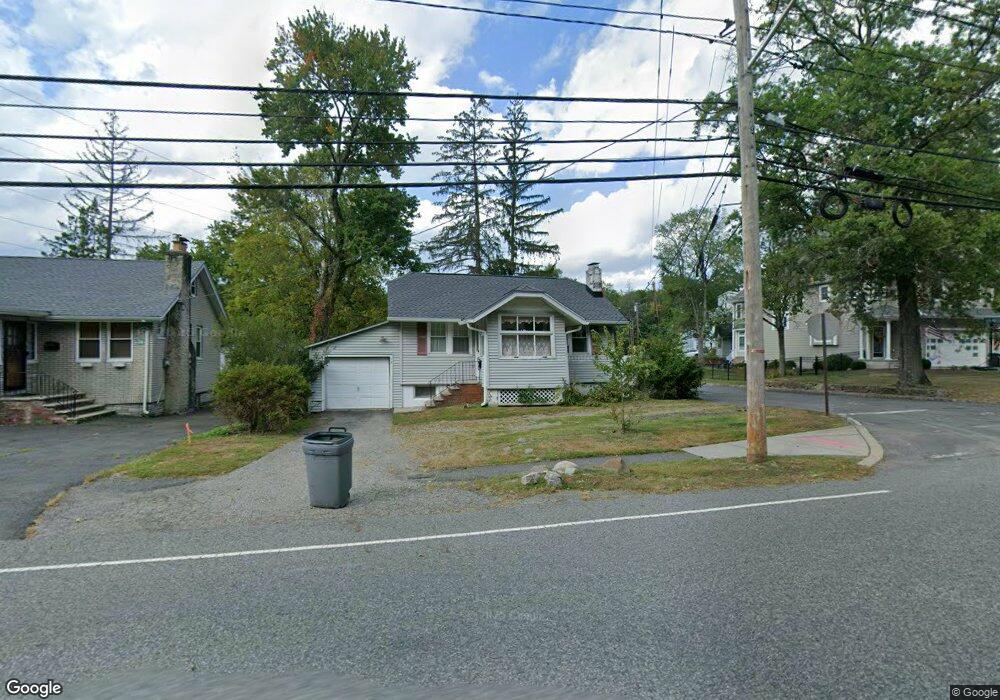
72 W Hobart Gap Rd Livingston, NJ 07039
Estimated Value: $548,751 - $886,000
--
Bed
--
Bath
718
Sq Ft
$913/Sq Ft
Est. Value
About This Home
This home is located at 72 W Hobart Gap Rd, Livingston, NJ 07039 and is currently estimated at $655,438, approximately $912 per square foot. 72 W Hobart Gap Rd is a home located in Essex County with nearby schools including Livingston Sr High School, Aquinas Academy, and Far Brook School.
Ownership History
Date
Name
Owned For
Owner Type
Purchase Details
Closed on
Nov 16, 2015
Sold by
Mystkowski Cathy A and Bottone Frank M
Bought by
Bottone Giovanni H and Mystkowski Cathy A
Current Estimated Value
Home Financials for this Owner
Home Financials are based on the most recent Mortgage that was taken out on this home.
Interest Rate
3.98%
Purchase Details
Closed on
Mar 27, 1997
Sold by
Makac Witalis
Bought by
Bottone Frank and Mystkowski Cathy
Home Financials for this Owner
Home Financials are based on the most recent Mortgage that was taken out on this home.
Original Mortgage
$117,000
Interest Rate
7.88%
Purchase Details
Closed on
Aug 14, 1995
Sold by
Stillwell William
Bought by
Makac Witalis
Home Financials for this Owner
Home Financials are based on the most recent Mortgage that was taken out on this home.
Original Mortgage
$109,000
Interest Rate
7.61%
Create a Home Valuation Report for This Property
The Home Valuation Report is an in-depth analysis detailing your home's value as well as a comparison with similar homes in the area
Home Values in the Area
Average Home Value in this Area
Purchase History
| Date | Buyer | Sale Price | Title Company |
|---|---|---|---|
| Bottone Giovanni H | -- | -- | |
| Bottone Frank | $130,000 | -- | |
| Makac Witalis | $115,000 | -- |
Source: Public Records
Mortgage History
| Date | Status | Borrower | Loan Amount |
|---|---|---|---|
| Closed | Bottone Giovanni H | -- | |
| Previous Owner | Bottone Frank | $117,000 | |
| Previous Owner | Makac Witalis | $109,000 |
Source: Public Records
Tax History Compared to Growth
Tax History
| Year | Tax Paid | Tax Assessment Tax Assessment Total Assessment is a certain percentage of the fair market value that is determined by local assessors to be the total taxable value of land and additions on the property. | Land | Improvement |
|---|---|---|---|---|
| 2025 | $6,347 | $267,600 | $172,900 | $94,700 |
| 2024 | $6,347 | $267,600 | $172,900 | $94,700 |
| 2022 | $6,243 | $267,600 | $172,900 | $94,700 |
| 2021 | $6,192 | $267,600 | $172,900 | $94,700 |
| 2020 | $6,077 | $267,600 | $172,900 | $94,700 |
| 2019 | $6,799 | $259,900 | $192,700 | $67,200 |
| 2018 | $6,708 | $259,900 | $192,700 | $67,200 |
| 2017 | $6,620 | $259,900 | $192,700 | $67,200 |
| 2016 | $6,498 | $259,900 | $192,700 | $67,200 |
| 2015 | $6,401 | $259,900 | $192,700 | $67,200 |
| 2014 | $6,193 | $259,900 | $192,700 | $67,200 |
Source: Public Records
Map
Nearby Homes
- 130 Meadowbrook Rd
- 76 W Hobart Gap Rd
- 68 W Hobart Gap Rd
- 5 Rosewood Ct
- 11 Rosewood Ct
- 9 Rosewood Ct
- 66 W Hobart Gap Rd
- 126 Meadowbrook Rd
- 125 Meadowbrook Rd
- 62 W Hobart Gap Rd
- 123 Meadowbrook Rd
- 122 Meadowbrook Rd
- 2 Arrow Dr
- 4 Arrow Dr
- 8 Rosewood Ct
- 2 Rosewood Ct
- 6 Rosewood Ct
- 10 Rosewood Ct
- 4 Rosewood Ct
- 121 Meadowbrook Rd