Estimated Value: $632,064
--
Bed
--
Bath
2,590
Sq Ft
$244/Sq Ft
Est. Value
About This Home
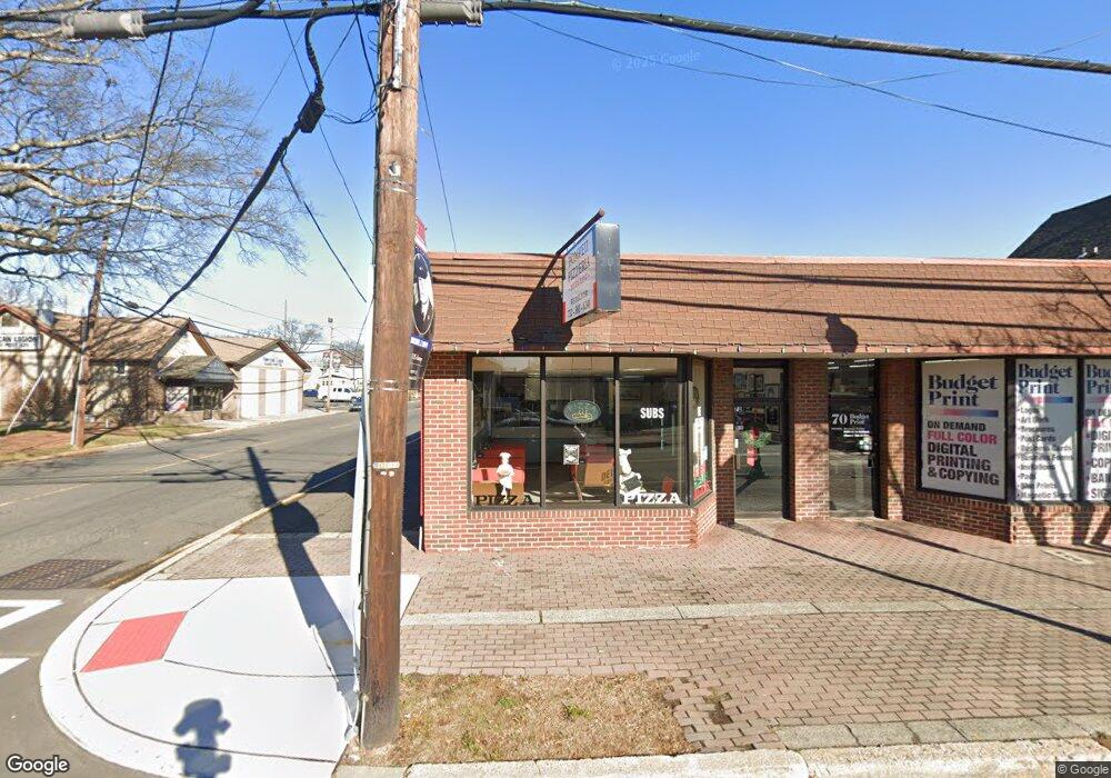
This home is located at 72 Westfield Ave, Clark, NJ 07066 and is currently estimated at $632,064, approximately $244 per square foot. 72 Westfield Ave is a home with nearby schools including Valley Road Elementary School, Carl H. Kumpf Middle School, and Arthur L. Johnson High School.
Ownership History
Date
Name
Owned For
Owner Type
Purchase Details
Closed on
Sep 20, 2018
Sold by
Balderose Phillip and Balderose Lynn
Bought by
Nls Enterprises Llc
Current Estimated Value
Home Financials for this Owner
Home Financials are based on the most recent Mortgage that was taken out on this home.
Original Mortgage
$240,000
Outstanding Balance
$208,863
Interest Rate
4.5%
Mortgage Type
Commercial
Estimated Equity
$423,201
Purchase Details
Closed on
Sep 11, 2008
Sold by
Balderose Phillip
Bought by
Balderose Phillip and Balderose Lynn
Home Financials for this Owner
Home Financials are based on the most recent Mortgage that was taken out on this home.
Original Mortgage
$300,000
Interest Rate
6.57%
Mortgage Type
Commercial
Purchase Details
Closed on
Apr 26, 2000
Sold by
Balderose Jennifer
Bought by
Balderose Phillip
Home Financials for this Owner
Home Financials are based on the most recent Mortgage that was taken out on this home.
Original Mortgage
$242,000
Interest Rate
8.21%
Mortgage Type
Commercial
Create a Home Valuation Report for This Property
The Home Valuation Report is an in-depth analysis detailing your home's value as well as a comparison with similar homes in the area
Home Values in the Area
Average Home Value in this Area
Purchase History
| Date | Buyer | Sale Price | Title Company |
|---|---|---|---|
| Nls Enterprises Llc | $480,000 | Fidelity National Title | |
| Balderose Phillip | -- | Multiple | |
| Balderose Phillip | -- | -- |
Source: Public Records
Mortgage History
| Date | Status | Borrower | Loan Amount |
|---|---|---|---|
| Open | Nls Enterprises Llc | $240,000 | |
| Previous Owner | Balderose Phillip | $300,000 | |
| Previous Owner | Balderose Phillip | $242,000 |
Source: Public Records
Tax History Compared to Growth
Tax History
| Year | Tax Paid | Tax Assessment Tax Assessment Total Assessment is a certain percentage of the fair market value that is determined by local assessors to be the total taxable value of land and additions on the property. | Land | Improvement |
|---|---|---|---|---|
| 2025 | $11,902 | $537,600 | $248,600 | $289,000 |
| 2024 | $11,725 | $537,600 | $248,600 | $289,000 |
| 2023 | $11,725 | $537,600 | $248,600 | $289,000 |
| 2022 | $11,386 | $537,600 | $248,600 | $289,000 |
| 2021 | $13,708 | $154,200 | $32,400 | $121,800 |
| 2020 | $13,485 | $154,200 | $32,400 | $121,800 |
| 2019 | $13,349 | $154,200 | $32,400 | $121,800 |
| 2018 | $13,189 | $154,200 | $32,400 | $121,800 |
| 2017 | $12,977 | $154,200 | $32,400 | $121,800 |
| 2016 | $12,499 | $154,200 | $32,400 | $121,800 |
| 2015 | $12,373 | $154,200 | $32,400 | $121,800 |
| 2014 | $12,112 | $154,200 | $32,400 | $121,800 |
Source: Public Records
Map
Nearby Homes
- 22 Washington St
- 1218 Kline Place
- 53 Richard St
- 157 Westfield Ave
- 1081 Madison Hill Rd
- 12 Bartell Place
- 1374 Lambert St
- 1126 Stone St
- 1062 Westfield Ave
- 1169 Briarcliff Dr
- 27 Grand St
- 30 Brant Ave
- 1489 Jefferson Ave
- 1095 Elm Terrace
- 44 Post Rd
- 275 Valley Rd
- 741 Brookside Rd
- 1151 Charlotte Place
- 1166 Jefferson Ave
- 789 Hillside Rd
- 11 Liberty St Unit 1A
- 60 Westfield Ave
- 60 Westfield Ave Unit 60
- 13 Liberty St Unit 1B
- 81 Westfield Ave
- 10 Joseph St
- 86 Westfield Ave
- 86 Westfield Ave Unit 1
- 86 Westfield Ave Unit 86
- 83 Westfield Ave
- 75 Westfield Ave
- 67 Westfield Ave
- 77 Broadway Unit 2A
- 79 Broadway Unit 2B
- 81 Broadway Unit 2C
- 88 Westfield Ave
- 71 Broadway Unit 3A
- 1 Kathryn St
- 73 Broadway Unit 3B
- 78 Washington St