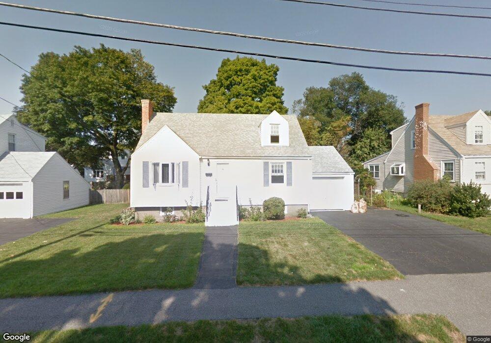
72 Whitman Rd Waltham, MA 02453
Warrendale NeighborhoodEstimated Value: $784,000 - $973,000
About This Home
This home is located at 72 Whitman Rd, Waltham, MA 02453 and is currently estimated at $862,606, approximately $741 per square foot. 72 Whitman Rd is a home located in Middlesex County with nearby schools including James Fitzgerald Elementary School, John W. Mcdevitt Middle School, and Waltham Sr High School.
Ownership History
We collect this data history from publicly available records. To have your information removed, we recommend requesting removal directly through your county’s website.
Purchase Details
Home Financials for this Owner
Home Financials are based on the most recent Mortgage that was taken out on this home.Home Values in the Area
Average Home Value in this Area
Purchase History
We collect this data history from publicly available records. To have your information removed, we recommend requesting removal directly through your county’s website.
| Date | Buyer | Sale Price | Title Company |
|---|---|---|---|
| $242,250 | -- |
Mortgage History
We collect this data history from publicly available records. To have your information removed, we recommend requesting removal directly through your county’s website.
| Date | Status | Borrower | Loan Amount |
|---|---|---|---|
| Open | $105,000 | ||
| Closed | $142,250 |
Map
- 111 Warren St
- 78 Barbara Rd Unit 1
- 158 Warren St
- 601 Main St
- 11 Hersom St Unit 2
- 58 Madison Rd
- 43 Grandview Ave
- 148 Main St
- 111 Chapman St Unit 111
- 61 Canterbury Rd
- 67 Prospect St
- 26-28 Desmond Ave
- 4 Jensen Rd Unit 6
- 33 Charles St Unit 33
- 329 Warren St
- 4 Repton Cir Unit 4205
- 4 Repton Cir Unit 4203
- 34-36 Morton St
- 121 Warren St Unit 4
- 31 Angela Ln Unit 31
- 57 Whitman Rd
- 63 Whitman Rd
- 53 Whitman Rd
- 28 2-1 Whitman Rd Unit 2-1
- 56 Longfellow Rd
- 50 Longfellow Rd
- 47 Whitman Rd
- 67 Whitman Rd
- 62 Longfellow Rd
- 64 Whitman Rd
- 52 Whitman Rd
- 66 Longfellow Rd
- 46 Longfellow Rd
- 68 Whitman Rd
- 48 Whitman Rd
- 73 Whitman Rd
- 43 Whitman Rd
- 70 Longfellow Rd
- 61 Stone Rd
- 40 Longfellow Rd
Ask me questions while you tour the home.