Estimated Value: $73,470 - $199,000
3
Beds
2
Baths
1,680
Sq Ft
$94/Sq Ft
Est. Value
About This Home
This home is located at 720 Bond Rd, Cairo, GA 39827 and is currently estimated at $157,368, approximately $93 per square foot. 720 Bond Rd is a home.
Ownership History
Date
Name
Owned For
Owner Type
Purchase Details
Closed on
Apr 22, 2022
Sold by
Bond Michael L
Bought by
Knight Joe Elbert and Knight Teresa B
Current Estimated Value
Create a Home Valuation Report for This Property
The Home Valuation Report is an in-depth analysis detailing your home's value as well as a comparison with similar homes in the area
Purchase History
| Date | Buyer | Sale Price | Title Company |
|---|---|---|---|
| Knight Joe Elbert | $50,000 | -- |
Source: Public Records
Tax History
| Year | Tax Paid | Tax Assessment Tax Assessment Total Assessment is a certain percentage of the fair market value that is determined by local assessors to be the total taxable value of land and additions on the property. | Land | Improvement |
|---|---|---|---|---|
| 2024 | $151 | $13,585 | $12,322 | $1,263 |
| 2023 | $151 | $8,737 | $7,866 | $871 |
| 2022 | $471 | $17,301 | $7,866 | $9,435 |
| 2021 | $473 | $17,301 | $7,866 | $9,435 |
| 2020 | $474 | $17,301 | $7,866 | $9,435 |
| 2019 | $474 | $17,301 | $7,866 | $9,435 |
| 2018 | $445 | $17,301 | $7,866 | $9,435 |
| 2017 | $421 | $17,301 | $7,866 | $9,435 |
Source: Public Records
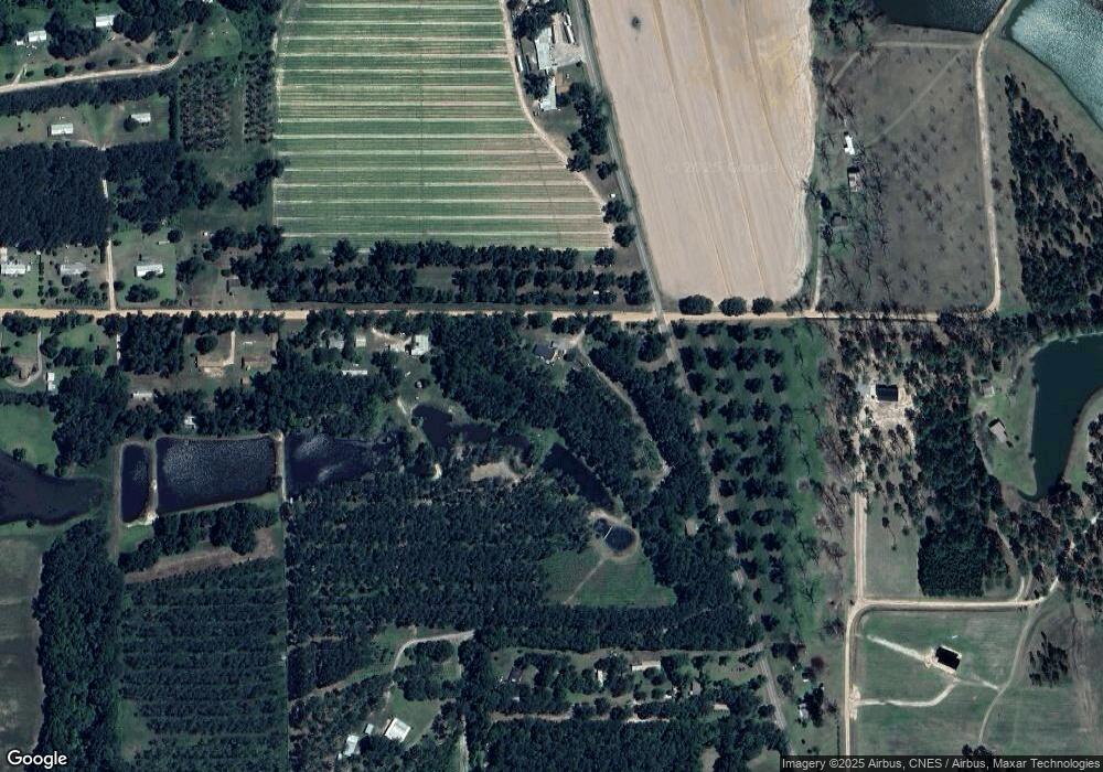
Map
Nearby Homes
Your Personal Tour Guide
Ask me questions while you tour the home.