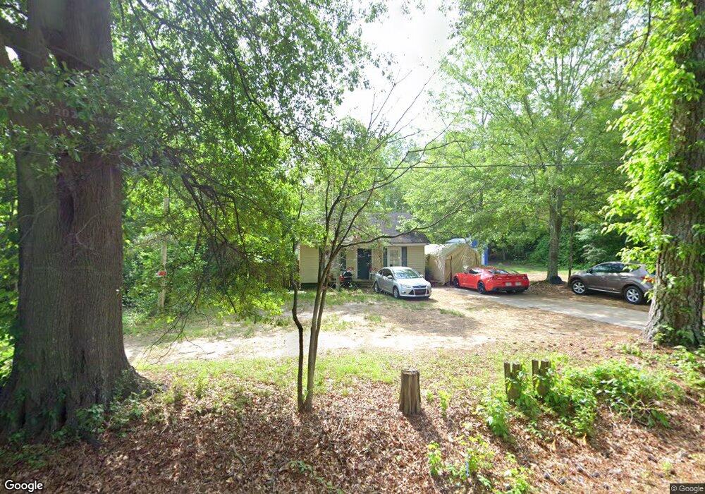
720 Burns Rd Carrollton, GA 30117
Estimated Value: $187,000 - $207,193
2
Beds
1
Bath
1,044
Sq Ft
$191/Sq Ft
Est. Value
About This Home
This home is located at 720 Burns Rd, Carrollton, GA 30117 and is currently estimated at $199,798, approximately $191 per square foot. 720 Burns Rd is a home located in Carroll County with nearby schools including Carrollton Elementary School, Carrollton Upper Elementary School, and Carrollton Middle School.
Ownership History
Date
Name
Owned For
Owner Type
Purchase Details
Closed on
Dec 4, 2020
Sold by
Rodgers Alisa M
Bought by
Rodgers John B
Current Estimated Value
Purchase Details
Closed on
May 23, 2002
Sold by
Rodgers Alisa M
Bought by
Rodgers Alisa M and Rodgers John B
Purchase Details
Closed on
Sep 25, 2001
Sold by
Mccoy Ray and Mccoy Lottie B
Bought by
Rodgers Alisa M
Purchase Details
Closed on
Jun 2, 1988
Bought by
Mccoy Ray and Mccoy Lottie B
Create a Home Valuation Report for This Property
The Home Valuation Report is an in-depth analysis detailing your home's value as well as a comparison with similar homes in the area
Home Values in the Area
Average Home Value in this Area
Purchase History
| Date | Buyer | Sale Price | Title Company |
|---|---|---|---|
| Rodgers John B | -- | -- | |
| Rodgers Alisa M | -- | -- | |
| Rodgers Alisa M | $27,500 | -- | |
| Mccoy Ray | -- | -- |
Source: Public Records
Tax History Compared to Growth
Tax History
| Year | Tax Paid | Tax Assessment Tax Assessment Total Assessment is a certain percentage of the fair market value that is determined by local assessors to be the total taxable value of land and additions on the property. | Land | Improvement |
|---|---|---|---|---|
| 2024 | $1,514 | $55,418 | $15,552 | $39,866 |
| 2023 | $1,514 | $51,872 | $15,552 | $36,320 |
| 2022 | $1,153 | $39,494 | $10,368 | $29,126 |
| 2021 | $955 | $32,714 | $7,680 | $25,034 |
| 2020 | $881 | $30,158 | $7,680 | $22,478 |
| 2019 | $835 | $28,295 | $7,680 | $20,615 |
| 2018 | $770 | $25,720 | $7,680 | $18,040 |
| 2017 | $774 | $25,720 | $7,680 | $18,040 |
| 2016 | $778 | $25,720 | $7,680 | $18,040 |
| 2015 | $651 | $21,065 | $10,000 | $11,065 |
| 2014 | $653 | $21,065 | $10,000 | $11,065 |
Source: Public Records
Map
Nearby Homes
- 0 Burns Rd Unit LOT 2 10571612
- 0 Burns Rd Unit LOT 3 10571635
- 0 Burns Rd Unit LOT 1 10571595
- 0 Burns Rd Unit 148013
- 8 Horsley Mill Rd
- 9 Horsley Mill Rd
- 208 Lane Dr
- 208 Lane Dr Unit LOT 62
- 0 Carroll Cir Unit LOTS 4-8 10571562
- 403 Burns Rd
- 150 Cedar Park Way
- 114 Bennett Cir
- Plan 2121 at Canterbury Villas
- Plan 2307 at Canterbury Villas
- 204 Chaucer Ln
- Plan 1522 at Canterbury Villas
- Plan 1634 at Canterbury Villas
- Plan 2628 at Canterbury Villas
- 204 Burns Rd
- 0 Carroll Cir- Lots 4-8 Unit 148012