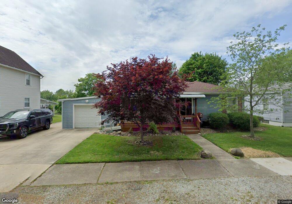
720 Charles Ave Barberton, OH 44203
North Barberton NeighborhoodEstimated Value: $152,694 - $180,000
3
Beds
1
Bath
1,355
Sq Ft
$127/Sq Ft
Est. Value
About This Home
This home is located at 720 Charles Ave, Barberton, OH 44203 and is currently estimated at $171,924, approximately $126 per square foot. 720 Charles Ave is a home located in Summit County with nearby schools including Barberton Middle School, Barberton Intermediate School 3-5, and Barberton High School.
Ownership History
Date
Name
Owned For
Owner Type
Purchase Details
Closed on
Apr 17, 2013
Sold by
Mclain Ronnie L
Bought by
Mclain Ronnie L and Dawson Diana
Current Estimated Value
Purchase Details
Closed on
Oct 12, 2010
Sold by
Hutchinson Donald
Bought by
Mclain Ronnie L
Purchase Details
Closed on
Aug 2, 1999
Sold by
Hutchinson Donald A
Bought by
Hutchinson Donald
Home Financials for this Owner
Home Financials are based on the most recent Mortgage that was taken out on this home.
Original Mortgage
$72,750
Interest Rate
9.55%
Create a Home Valuation Report for This Property
The Home Valuation Report is an in-depth analysis detailing your home's value as well as a comparison with similar homes in the area
Home Values in the Area
Average Home Value in this Area
Purchase History
| Date | Buyer | Sale Price | Title Company |
|---|---|---|---|
| Mclain Ronnie L | -- | None Available | |
| Mclain Ronnie L | $39,900 | Attorney | |
| Hutchinson Donald | -- | Prospect Title Agency Inc |
Source: Public Records
Mortgage History
| Date | Status | Borrower | Loan Amount |
|---|---|---|---|
| Previous Owner | Hutchinson Donald | $72,750 |
Source: Public Records
Tax History Compared to Growth
Tax History
| Year | Tax Paid | Tax Assessment Tax Assessment Total Assessment is a certain percentage of the fair market value that is determined by local assessors to be the total taxable value of land and additions on the property. | Land | Improvement |
|---|---|---|---|---|
| 2025 | $2,219 | $44,325 | $10,476 | $33,849 |
| 2024 | $2,219 | $44,325 | $10,476 | $33,849 |
| 2023 | $2,219 | $44,325 | $10,476 | $33,849 |
| 2022 | $1,725 | $29,862 | $6,846 | $23,016 |
| 2021 | $1,724 | $29,862 | $6,846 | $23,016 |
| 2020 | $1,584 | $28,100 | $6,850 | $21,250 |
| 2019 | $1,564 | $25,130 | $6,020 | $19,110 |
| 2018 | $1,540 | $25,130 | $6,020 | $19,110 |
| 2017 | $1,560 | $25,130 | $6,020 | $19,110 |
| 2016 | $1,564 | $25,130 | $6,020 | $19,110 |
| 2015 | $1,560 | $25,130 | $6,020 | $19,110 |
| 2014 | $1,552 | $25,130 | $6,020 | $19,110 |
| 2013 | $1,570 | $26,360 | $6,020 | $20,340 |
Source: Public Records
Map
Nearby Homes
- 690 Saint Clair Ave
- 103 Mitchell St
- 645 Madison Ave
- 146 Hermann St
- 44 W Summit St
- 213 Hermann St
- 818 N Summit St
- 30 W Hiram St
- 137 Hermann St
- 250 Evergreen St
- 277 Glenn St
- 0 Wooster Rd N
- 1924 Caroline Ave
- 613 Wooster Rd N
- 1960 Newton St
- 143 Glenn St
- 0 Romig Ave
- 412 Grandview Ave
- 589 Highland Ave
- 76 Hazelwood Ave
- 714 Charles Ave
- 728 Charles Ave
- 721 Newton St
- 734 Charles Ave
- 189 Mitchell St
- 725 Charles Ave
- 165 Mitchell St
- 190 Mitchell St
- 702 Charles Ave
- 733 Charles Ave
- 162 Mitchell St
- 699 Newton St
- 698 Charles Ave
- 171 Saint John St
- 720 Newton St Unit 722
- 695 Newton St
- 720 Orchard Ave
- 726 Orchard Ave
- 697 Charles Ave
- 714 Orchard Ave