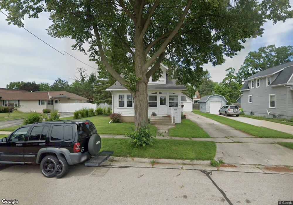
720 Charles St Fort Atkinson, WI 53538
Estimated Value: $230,000 - $271,000
Studio
--
Bath
--
Sq Ft
10,803
Sq Ft Lot
About This Home
This home is located at 720 Charles St, Fort Atkinson, WI 53538 and is currently estimated at $249,611. 720 Charles St is a home located in Jefferson County with nearby schools including Barrie Elementary School, Fort Atkinson Middle School, and Fort Atkinson High School.
Ownership History
Date
Name
Owned For
Owner Type
Purchase Details
Closed on
Nov 27, 2023
Sold by
Marion R Fleck Irrevocable Living Trust and Fleck Steven
Bought by
Blakey Joshua and Blakey Stephanie
Current Estimated Value
Home Financials for this Owner
Home Financials are based on the most recent Mortgage that was taken out on this home.
Original Mortgage
$145,000
Outstanding Balance
$142,135
Interest Rate
7.79%
Mortgage Type
New Conventional
Estimated Equity
$107,476
Purchase Details
Closed on
Nov 16, 2006
Sold by
Fleck Marion R
Bought by
Fleck Marion R and Marion R Fleck Irrevocable Liv
Create a Home Valuation Report for This Property
The Home Valuation Report is an in-depth analysis detailing your home's value as well as a comparison with similar homes in the area
Home Values in the Area
Average Home Value in this Area
Purchase History
| Date | Buyer | Sale Price | Title Company |
|---|---|---|---|
| Blakey Joshua | $165,500 | None Listed On Document | |
| Fleck Marion R | -- | None Available |
Source: Public Records
Mortgage History
| Date | Status | Borrower | Loan Amount |
|---|---|---|---|
| Open | Blakey Joshua | $145,000 |
Source: Public Records
Tax History
| Year | Tax Paid | Tax Assessment Tax Assessment Total Assessment is a certain percentage of the fair market value that is determined by local assessors to be the total taxable value of land and additions on the property. | Land | Improvement |
|---|---|---|---|---|
| 2025 | $3,531 | $166,900 | $50,500 | $116,400 |
| 2024 | $3,094 | $166,900 | $50,500 | $116,400 |
| 2023 | $3,243 | $193,300 | $50,500 | $142,800 |
| 2022 | $3,457 | $135,200 | $35,000 | $100,200 |
| 2021 | $3,048 | $135,200 | $35,000 | $100,200 |
| 2020 | $3,001 | $135,200 | $35,000 | $100,200 |
| 2019 | $2,867 | $135,200 | $35,000 | $100,200 |
| 2018 | $2,767 | $135,200 | $35,000 | $100,200 |
| 2017 | $2,727 | $135,200 | $35,000 | $100,200 |
| 2016 | $2,998 | $142,500 | $34,200 | $108,300 |
| 2015 | $3,119 | $142,500 | $34,200 | $108,300 |
| 2014 | $3,012 | $142,500 | $34,200 | $108,300 |
| 2013 | $3,091 | $142,500 | $34,200 | $108,300 |
Source: Public Records
Map
Nearby Homes
- 716 Charles St
- 318 Monroe St
- 726 Sherman Ave W
- 125 Monroe St
- 845 Messmer St
- 204 Linden St
- 444 Mechanic St
- 710 W Blackhawk Dr
- 926 Hillcrest Dr
- 1232 Sherman Ave W
- 1233 Sherman Ave W
- 123 Milwaukee Ave W
- 1103 Laurie Dr
- 215 Clarence St
- 1018 Monroe St
- 420 Jones Ave
- 308 S 4th St W
- 2 acres W Blackhawk Dr
- 234 S Main St
- 1105 McCoy Park Rd
- 728 Charles St
- 719 Madison Ave
- 414 Council St
- 708 Charles St
- 729 Madison Ave
- 717 Charles St
- 711 Madison Ave
- 410 Council St
- 713 Charles St
- 707 Madison Ave
- 405 Jackson St
- 709 Charles St
- 401 Jackson St
- 406 Council St
- 411 Jackson St
- 329 Jackson St
- 411 S Council St E
- 714 Harriette St
- 400 Council St
- 418 Roosevelt St
Your Personal Tour Guide
Ask me questions while you tour the home.