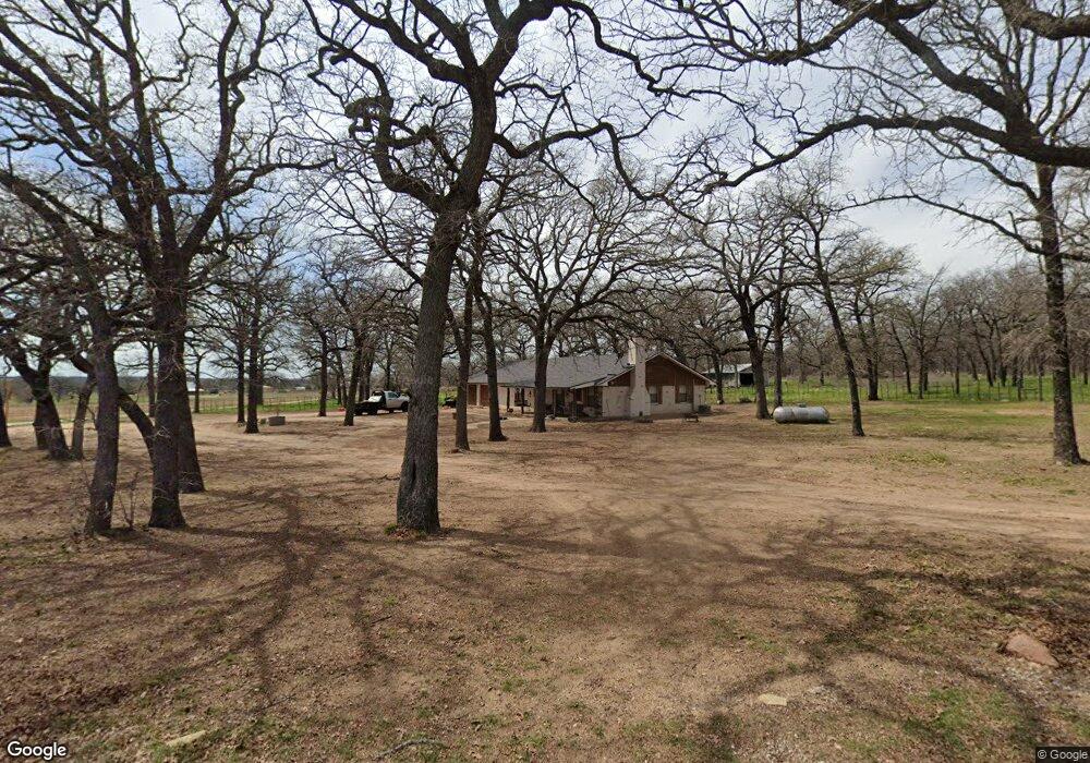
720 Dude Ln Millsap, TX 76066
Estimated Value: $559,000
--
Bed
--
Bath
1,540
Sq Ft
$363/Sq Ft
Est. Value
About This Home
This home is located at 720 Dude Ln, Millsap, TX 76066 and is currently estimated at $559,000, approximately $362 per square foot. 720 Dude Ln is a home located in Parker County with nearby schools including Brock Intermediate School, Brock Junior High School, and Brock High School.
Ownership History
Date
Name
Owned For
Owner Type
Purchase Details
Closed on
Aug 31, 2018
Sold by
Corr Christy
Bought by
Brown Michael T and Brown Blandi J
Current Estimated Value
Home Financials for this Owner
Home Financials are based on the most recent Mortgage that was taken out on this home.
Original Mortgage
$376,882
Outstanding Balance
$328,834
Interest Rate
4.62%
Mortgage Type
FHA
Estimated Equity
$230,166
Purchase Details
Closed on
Jun 23, 2009
Sold by
Scarbrough Hershell Family Trust
Bought by
Johnston Donnie K
Purchase Details
Closed on
Oct 17, 2005
Bought by
Johnston Donnie K
Create a Home Valuation Report for This Property
The Home Valuation Report is an in-depth analysis detailing your home's value as well as a comparison with similar homes in the area
Home Values in the Area
Average Home Value in this Area
Purchase History
| Date | Buyer | Sale Price | Title Company |
|---|---|---|---|
| Brown Michael T | -- | None Available | |
| Johnston Donnie K | -- | -- | |
| Johnston Donnie K | -- | -- | |
| Hershell M Scarbrough Family Trust | -- | None Available |
Source: Public Records
Mortgage History
| Date | Status | Borrower | Loan Amount |
|---|---|---|---|
| Open | Brown Michael T | $376,882 |
Source: Public Records
Tax History Compared to Growth
Tax History
| Year | Tax Paid | Tax Assessment Tax Assessment Total Assessment is a certain percentage of the fair market value that is determined by local assessors to be the total taxable value of land and additions on the property. | Land | Improvement |
|---|---|---|---|---|
| 2025 | $2,551 | $226,415 | -- | -- |
| 2024 | $2,551 | $205,832 | -- | -- |
| 2023 | $2,551 | $187,120 | $0 | $0 |
| 2022 | $3,454 | $170,110 | $14,460 | $155,650 |
| 2021 | $3,618 | $170,110 | $14,460 | $155,650 |
| 2020 | $3,335 | $154,070 | $12,370 | $141,700 |
| 2019 | $3,591 | $154,070 | $12,370 | $141,700 |
| 2018 | $3,337 | $142,530 | $10,000 | $132,530 |
| 2017 | $3,279 | $142,530 | $10,000 | $132,530 |
| 2016 | $2,660 | $115,620 | $8,840 | $106,780 |
| 2015 | $2,626 | $115,620 | $8,840 | $106,780 |
| 2014 | $2,368 | $103,200 | $6,820 | $96,380 |
Source: Public Records
Map
Nearby Homes
- 210 W Bluff Ln
- 3 W Bluff Ln
- 229 W Bluff Ln
- 0 Dude Ln Unit 20350570
- 243 Dixie Rd
- 2505 Lazy Bend Rd
- 205 Jimmy Ln
- 4475 Lazy Bend Rd
- 209 Jimmy Ln
- 213 Jimmy Ln
- 217 Jimmy Ln
- 1004 Bermes Ct
- 221 Jimmy Ln
- 327 Rita Ridge Ct
- 323 Rita Ridge Ct
- 328 Rita Ridge Ct
- 319 Rita Ridge Ct
- 115 Esther Ct
- 1040 Bermes Ct
- 100 Buddy Ct