Estimated Value: $513,000 - $748,000
Studio
--
Bath
2,048
Sq Ft
$293/Sq Ft
Est. Value
About This Home
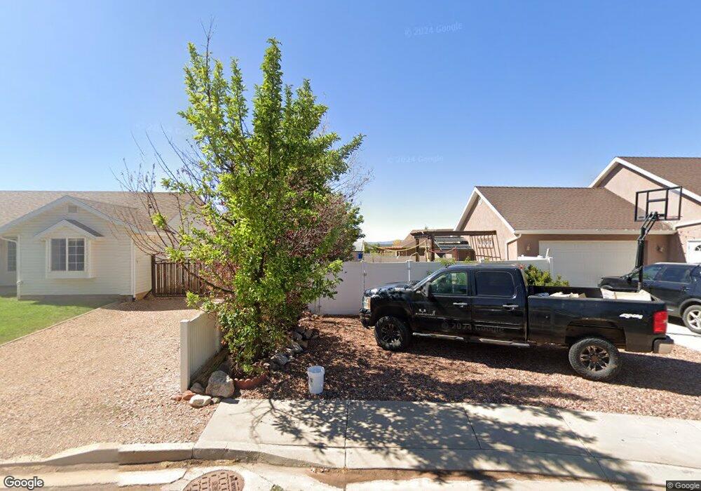
This home is located at 720 E Cedar Cir, Kanab, UT 84741 and is currently estimated at $600,584, approximately $293 per square foot. 720 E Cedar Cir is a home located in Kane County with nearby schools including Valley Elementary School and Valley High School.
Ownership History
Date
Name
Owned For
Owner Type
Purchase Details
Closed on
Jul 22, 2005
Sold by
Kesterson Sherri
Bought by
Kesterson Sherri and Sherri Kesterson Family Trust 11/20/1992
Current Estimated Value
Home Financials for this Owner
Home Financials are based on the most recent Mortgage that was taken out on this home.
Original Mortgage
$77,400
Outstanding Balance
$40,012
Interest Rate
5.51%
Estimated Equity
$560,572
Create a Home Valuation Report for This Property
The Home Valuation Report is an in-depth analysis detailing your home's value as well as a comparison with similar homes in the area
Home Values in the Area
Average Home Value in this Area
Purchase History
| Date | Buyer | Sale Price | Title Company |
|---|---|---|---|
| Kesterson Sherri | -- | -- | |
| Kesterson Sherri | -- | -- | |
| Kesterson Sherri | -- | -- |
Source: Public Records
Mortgage History
| Date | Status | Borrower | Loan Amount |
|---|---|---|---|
| Open | Kesterson Sherri | $77,400 | |
| Closed | Kesterson Sherri | $77,400 |
Source: Public Records
Tax History
| Year | Tax Paid | Tax Assessment Tax Assessment Total Assessment is a certain percentage of the fair market value that is determined by local assessors to be the total taxable value of land and additions on the property. | Land | Improvement |
|---|---|---|---|---|
| 2025 | $3,582 | $520,739 | $170,656 | $350,083 |
| 2024 | $3,540 | $280,516 | $86,908 | $193,608 |
| 2023 | $3,239 | $272,616 | $79,008 | $193,608 |
| 2022 | $3,388 | $252,361 | $77,577 | $174,784 |
| 2021 | $2,837 | $317,404 | $82,005 | $235,399 |
| 2020 | $2,588 | $279,398 | $74,550 | $204,848 |
| 2019 | $2,486 | $260,963 | $74,550 | $186,413 |
| 2018 | $2,276 | $236,813 | $74,550 | $162,263 |
| 2017 | $1,922 | $191,473 | $65,520 | $125,953 |
| 2016 | $1,975 | $191,473 | $65,520 | $125,953 |
| 2015 | $1,820 | $191,473 | $65,520 | $125,953 |
| 2014 | $1,820 | $175,990 | $65,520 | $110,470 |
| 2013 | -- | $161,335 | $0 | $0 |
Source: Public Records
Map
Nearby Homes
- 745 Forest
- 790 E Cedar Mountain Dr
- 690 Whispering Pines Dr
- 840 Whispering Pines Dr
- 590 Forest Dr
- 880 E Ridge Dr
- 4290 Cedar Mountain
- 4310 N Cedar Mountain Dr
- 4290 N Cedar Mountain Dr
- 870 Appaloosa Dr
- 4370 N Meadow Ranch Dr
- 4350 N Meadow Ranch Dr
- 4285 N Meadow Ranch Dr
- 670 Church Dr
- 450 E Quaking Aspen Dr
- 485 E Rim Rd
- 4010 Porcupine Dr
- 295 Porcupine Dr
- 270 Whispering Pines Dr
- 390 Quaking Aspen Dr
- 760 E Cedar Cir
- 710 E Cedar Cir
- 680 E Cedar Mountain Dr Unit Plat F
- 680 E Cedar Mountain Dr
- 745 E Forest Service Rd
- 755 Forest Dr
- 745 E Cedar Cir
- 780 E Cedar Cir
- 690 E Cedar Cir
- 725 E Cedar Cir
- 690 E Cedar Mtn Dr Mvh F-341
- 765 E Forest Service Rd
- 775 E Cedar Cir
- 705 E Forest Service Rd
- 790 E Cedar Cir
- 695 E Cedar Cir
- 695 E Forest Service Rd
- 730 E Kenner Dr
- 770 Kenner Dr Unit MVH F-315
- 770 Kenner Dr
Your Personal Tour Guide
Ask me questions while you tour the home.