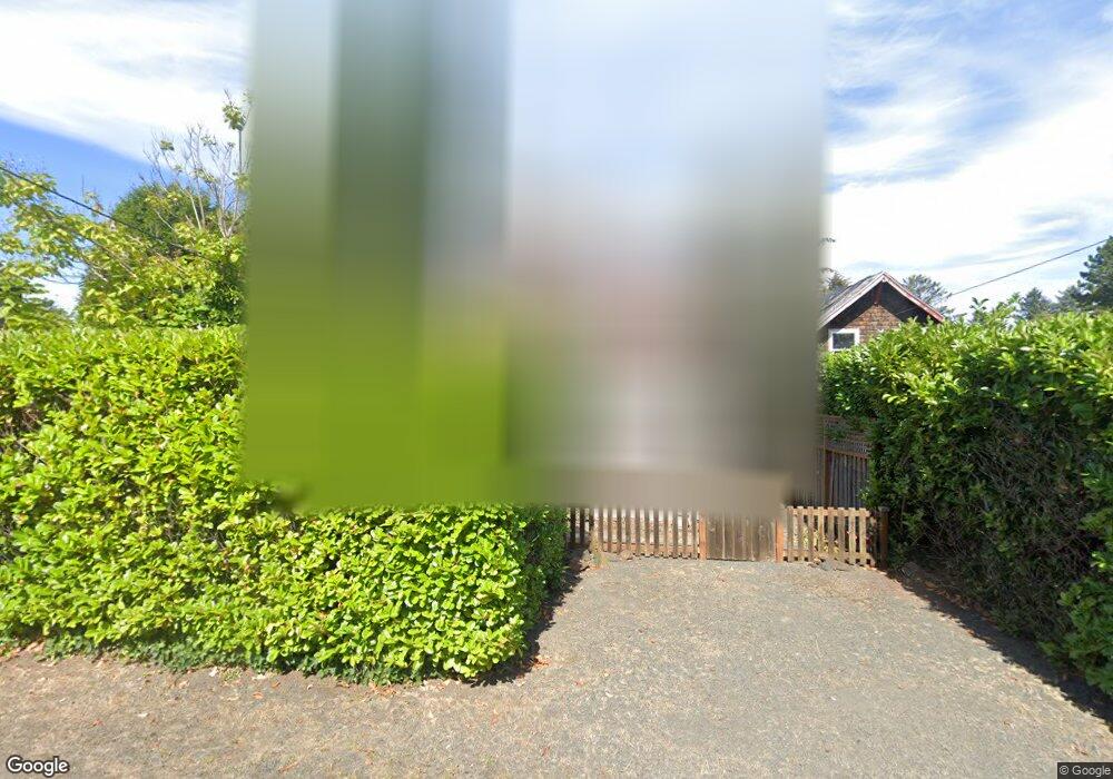
720 G St Seaside, OR 97138
Estimated Value: $449,000 - $599,000
2
Beds
51
Baths
1,113
Sq Ft
$467/Sq Ft
Est. Value
About This Home
This home is located at 720 G St, Seaside, OR 97138 and is currently estimated at $519,333, approximately $466 per square foot. 720 G St is a home located in Clatsop County with nearby schools including Seaside High School.
Ownership History
Date
Name
Owned For
Owner Type
Purchase Details
Closed on
Aug 2, 2022
Sold by
Candy Christensen
Bought by
Lange Kerry C
Current Estimated Value
Purchase Details
Closed on
Sep 30, 2016
Sold by
Pawlosky Mark A and Pawlosky Jennifer Hood
Bought by
Christensen Lange Candy and Lange Kerry C
Home Financials for this Owner
Home Financials are based on the most recent Mortgage that was taken out on this home.
Original Mortgage
$200,000
Interest Rate
3.43%
Mortgage Type
New Conventional
Create a Home Valuation Report for This Property
The Home Valuation Report is an in-depth analysis detailing your home's value as well as a comparison with similar homes in the area
Purchase History
| Date | Buyer | Sale Price | Title Company |
|---|---|---|---|
| Lange Kerry C | -- | None Listed On Document | |
| Christensen Lange Candy | $317,000 | Pacific Title Company |
Source: Public Records
Mortgage History
| Date | Status | Borrower | Loan Amount |
|---|---|---|---|
| Previous Owner | Christensen Lange Candy | $200,000 |
Source: Public Records
Tax History
| Year | Tax Paid | Tax Assessment Tax Assessment Total Assessment is a certain percentage of the fair market value that is determined by local assessors to be the total taxable value of land and additions on the property. | Land | Improvement |
|---|---|---|---|---|
| 2025 | $2,861 | $261,967 | -- | -- |
| 2024 | $2,909 | $254,337 | -- | -- |
| 2023 | $2,827 | $246,930 | $0 | $0 |
| 2022 | $2,743 | $239,739 | $0 | $0 |
| 2021 | $2,800 | $232,757 | $0 | $0 |
| 2020 | $2,701 | $225,979 | $0 | $0 |
| 2019 | $2,631 | $219,398 | $0 | $0 |
Source: Public Records
Map
Nearby Homes
- 934 H St
- 782 Woodland Ct
- 1255 A St
- 3389 U S 101
- 3387-3389 U S 101
- 735 3rd St
- 2674 U S 101
- 802 25th Ave
- 2657 N Hwy 101 Unit 6
- 750 5th St
- 2440 Pine St
- 1396 N Ocean Ave
- 641 6th St
- 1065 Picture Place
- 0 Cross Creek St Unit 14
- 0 Cross Creek St Unit 13
- 0 Cross Creek St Unit 26-112
- 0 Cross Creek St Unit 11
- 0 Cross Creek St Unit 26-114
- 0 Cross Creek St Unit 12
Your Personal Tour Guide
Ask me questions while you tour the home.