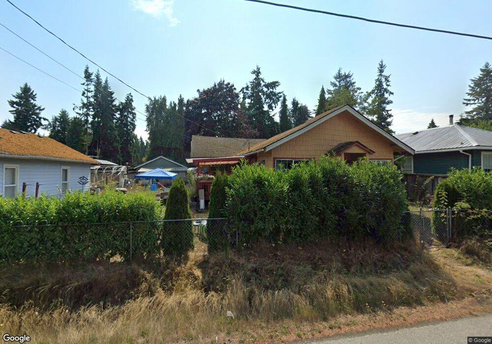
720 Irondale Rd Port Hadlock, WA 98339
Port Hadlock-Irondale NeighborhoodEstimated Value: $424,000 - $484,000
3
Beds
2
Baths
1,452
Sq Ft
$310/Sq Ft
Est. Value
About This Home
This home is located at 720 Irondale Rd, Port Hadlock, WA 98339 and is currently estimated at $449,925, approximately $309 per square foot. 720 Irondale Rd is a home located in Jefferson County with nearby schools including Chimacum Creek Primary School, Chimacum School Pi Program, and Chimacum Elementary School.
Create a Home Valuation Report for This Property
The Home Valuation Report is an in-depth analysis detailing your home's value as well as a comparison with similar homes in the area
Home Values in the Area
Average Home Value in this Area
Tax History Compared to Growth
Tax History
| Year | Tax Paid | Tax Assessment Tax Assessment Total Assessment is a certain percentage of the fair market value that is determined by local assessors to be the total taxable value of land and additions on the property. | Land | Improvement |
|---|---|---|---|---|
| 2024 | $2,816 | $372,776 | $87,675 | $285,101 |
| 2023 | $2,816 | $350,642 | $78,500 | $272,142 |
| 2022 | $2,244 | $306,090 | $57,600 | $248,490 |
| 2021 | $2,187 | $247,354 | $50,140 | $197,214 |
| 2020 | $2,069 | $226,560 | $45,780 | $180,780 |
| 2019 | $1,975 | $207,945 | $43,600 | $164,345 |
| 2018 | $2,151 | $199,728 | $43,600 | $156,128 |
| 2017 | $1,995 | $191,511 | $43,600 | $147,911 |
| 2016 | $1,991 | $189,510 | $39,600 | $149,910 |
| 2015 | $1,962 | $189,510 | $39,600 | $149,910 |
| 2014 | -- | $189,510 | $39,600 | $149,910 |
| 2013 | -- | $172,280 | $36,000 | $136,280 |
Source: Public Records
Map
Nearby Homes
- 781 Irondale Rd
- 0 E Eugene St
- 371 E Price St
- 52 E Moore St
- 31 2nd St
- 1210 Irondale Rd
- 31 Petes Spur
- 51 Thomas Dr
- 13 Loretta Ln
- 0 NKA C St
- 12 Loretta Ln
- 611 Cedar Ave Unit 51
- 611 Cedar Ave Unit 33
- 611 Cedar Ave Unit 62
- 0 N Andrew Ave
- 0 S Duquesne Ave
- 32 S Duquesne Ave
- 0 901024068 Unit NWM2387187
- 0 901024068 Unit Port Hadlock WA 9833
- 174 E Island View Ave