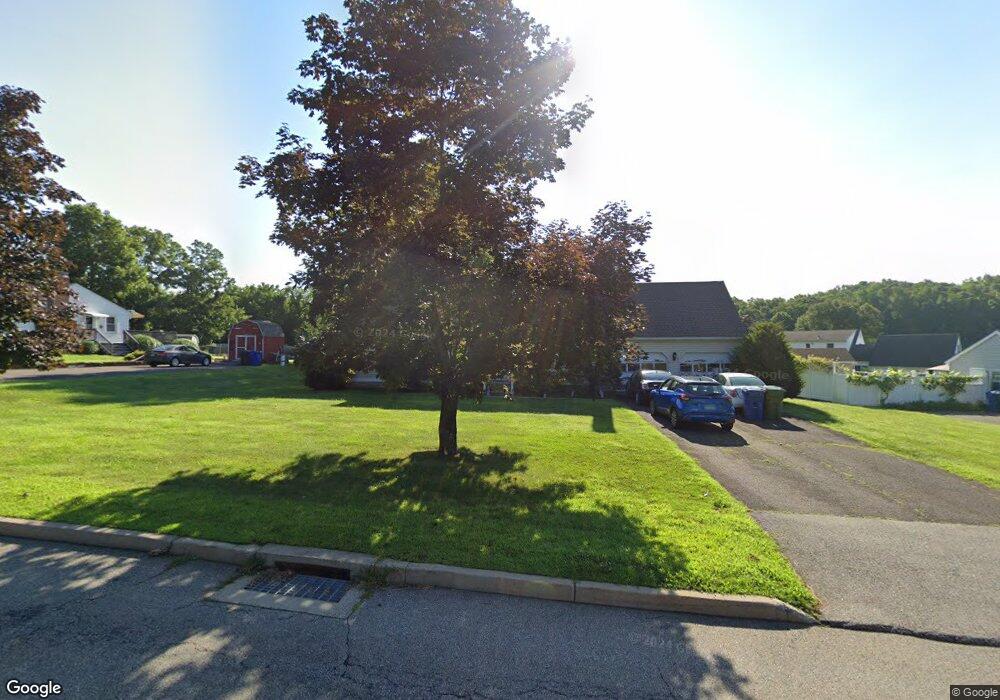
720 Laurel Grove Rd Middletown, CT 06457
Estimated Value: $425,312 - $519,000
4
Beds
2
Baths
2,112
Sq Ft
$224/Sq Ft
Est. Value
About This Home
This home is located at 720 Laurel Grove Rd, Middletown, CT 06457 and is currently estimated at $474,078, approximately $224 per square foot. 720 Laurel Grove Rd is a home located in Middlesex County with nearby schools including Wesley School, Middletown High School, and The Independent Day School.
Ownership History
Date
Name
Owned For
Owner Type
Purchase Details
Closed on
Aug 14, 2023
Sold by
Eason Robert T
Bought by
Eason Robert T and Eason Dorothy M
Current Estimated Value
Purchase Details
Closed on
Sep 20, 1990
Sold by
Gullitti Bldrs Inc
Bought by
Eason Robert T
Home Financials for this Owner
Home Financials are based on the most recent Mortgage that was taken out on this home.
Original Mortgage
$137,000
Interest Rate
9.89%
Mortgage Type
Purchase Money Mortgage
Create a Home Valuation Report for This Property
The Home Valuation Report is an in-depth analysis detailing your home's value as well as a comparison with similar homes in the area
Home Values in the Area
Average Home Value in this Area
Purchase History
| Date | Buyer | Sale Price | Title Company |
|---|---|---|---|
| Eason Robert T | -- | None Available | |
| Eason Robert T | $187,000 | -- |
Source: Public Records
Mortgage History
| Date | Status | Borrower | Loan Amount |
|---|---|---|---|
| Previous Owner | Eason Robert T | $278,400 | |
| Previous Owner | Eason Robert T | $137,000 |
Source: Public Records
Tax History Compared to Growth
Tax History
| Year | Tax Paid | Tax Assessment Tax Assessment Total Assessment is a certain percentage of the fair market value that is determined by local assessors to be the total taxable value of land and additions on the property. | Land | Improvement |
|---|---|---|---|---|
| 2025 | $8,867 | $227,940 | $54,070 | $173,870 |
| 2024 | $8,388 | $227,940 | $54,070 | $173,870 |
| 2023 | $8,001 | $227,940 | $54,070 | $173,870 |
| 2022 | $7,504 | $170,540 | $40,050 | $130,490 |
| 2021 | $7,504 | $170,540 | $40,050 | $130,490 |
| 2020 | $7,538 | $170,540 | $40,050 | $130,490 |
| 2019 | $7,572 | $170,540 | $40,050 | $130,490 |
| 2018 | $7,453 | $170,540 | $40,050 | $130,490 |
| 2017 | $6,820 | $160,850 | $47,040 | $113,810 |
| 2016 | $6,627 | $160,850 | $47,040 | $113,810 |
| 2015 | $6,370 | $160,850 | $47,040 | $113,810 |
| 2014 | $6,434 | $160,850 | $47,040 | $113,810 |
Source: Public Records
Map
Nearby Homes
- 120 Scenic View Dr
- 30 Orange Rd Unit 30
- 491 Long Hill Rd
- (Map 12, Lot 80A) Hubbard St
- Lot 2 Coleman Rd
- Lot 3 Coleman Rd
- 9 Sunset Dr
- 30 Cherry Ridge Rd
- 41 Day School Dr
- 18 Talcott Ridge Dr
- 498 Pine St
- 55 Lorelei Cir
- 17 Mckenna Dr
- 0 Arbutus St Unit 24065180
- 10 Lorelei Cir
- 347 Farm Hill Rd
- 574 Butternut St
- 81 Aresco Dr
- 44 Trailside Crossing
- 237 Boston Rd
- 732 Laurel Grove Rd
- 46 Harvard Ct
- 708 Laurel Grove Rd
- 30 Harvard Ct
- 723 Laurel Grove Rd
- 52 Harvard Ct
- 713 Laurel Grove Rd
- 744 Laurel Grove Rd
- 733 Laurel Grove Rd
- 696 Laurel Grove Rd
- 703 Laurel Grove Rd
- 743 Laurel Grove Rd
- 693 Laurel Grove Rd
- 33 Harvard Ct
- 46 Scenic View Dr
- 41 Harvard Ct
- 684 Laurel Grove Rd
- 753 Laurel Grove Rd
- 56 Scenic View Dr
- 36 Scenic View Dr